


Details
Description
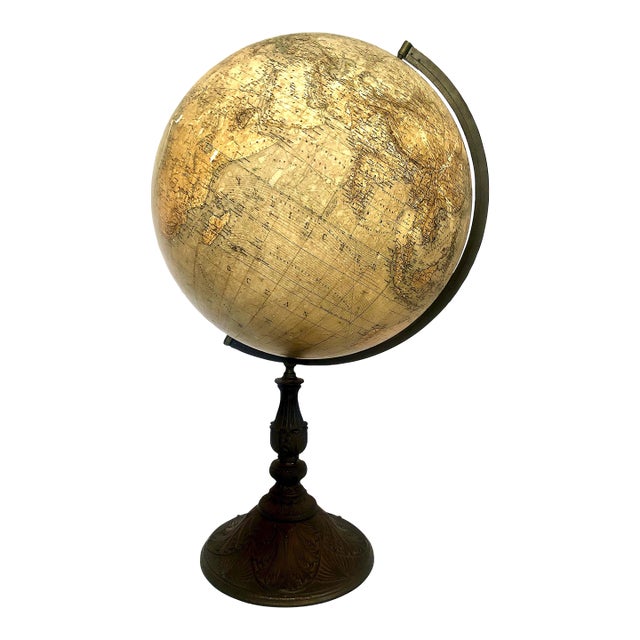
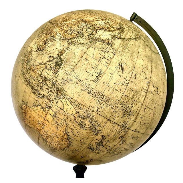
On offer is a rare 19th-century German antique terrestrial globe produced by one of Germany's most prestigious cartographic partnerships. When …
Read more
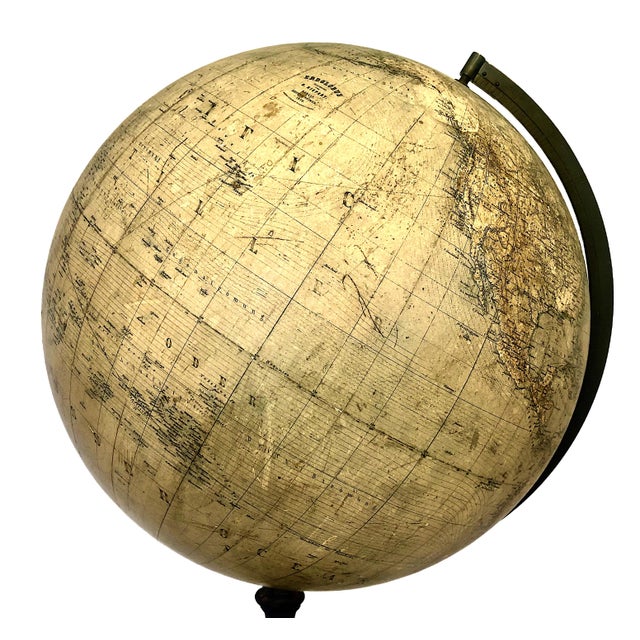
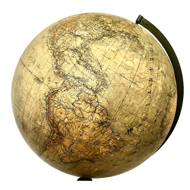
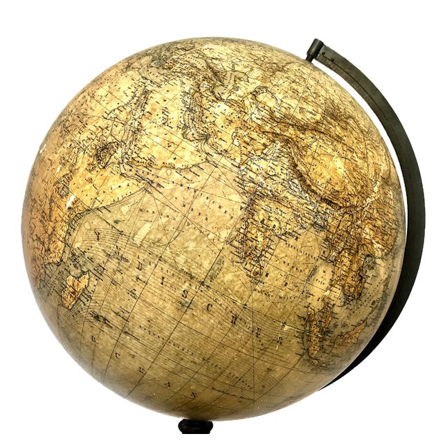
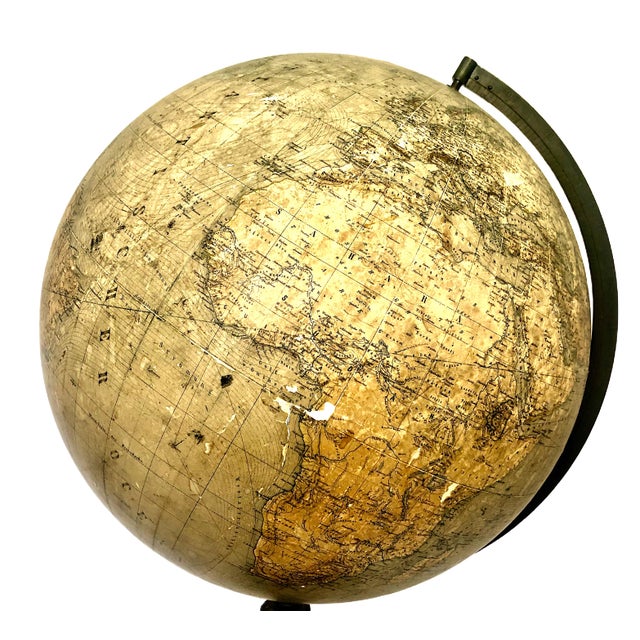
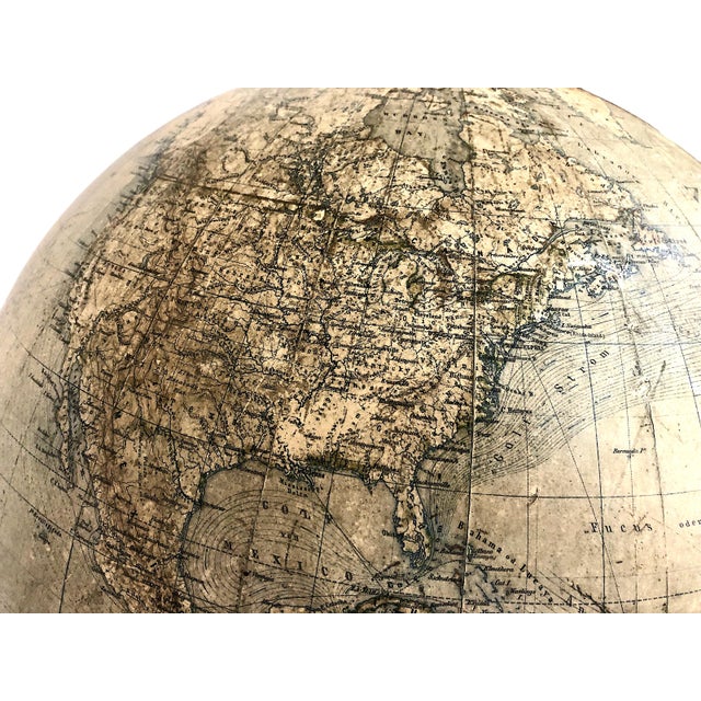
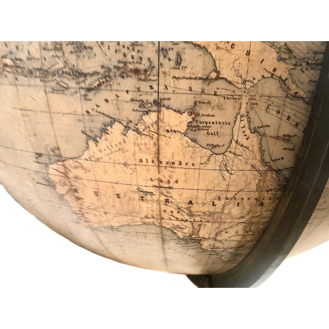
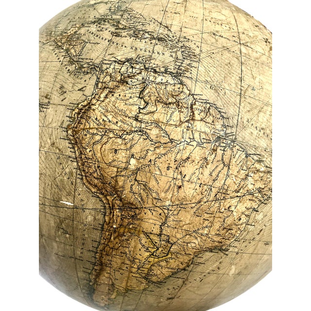
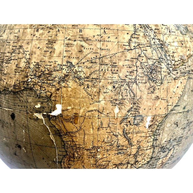
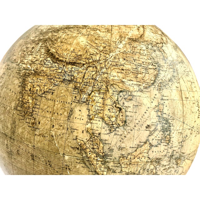
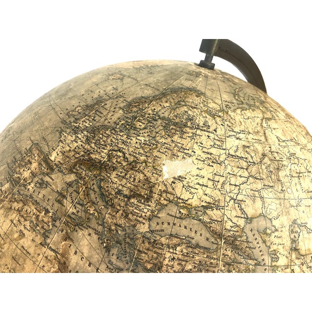
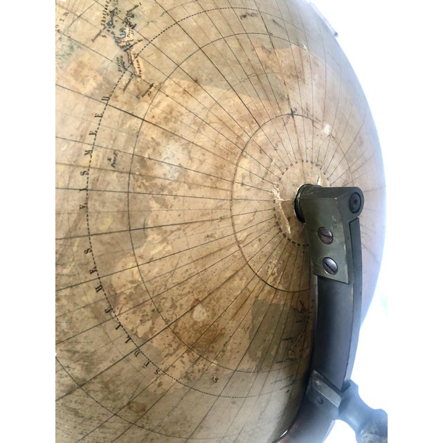
On offer is a rare 19th-century German antique terrestrial globe produced by one of Germany's most prestigious cartographic partnerships. When looking at the globe, one sees boundaries of historical countries and empires that no longer exist, such as Siam, Austria-Hungary or the Russian Empire. There are also historical details on the shipping and ocean current routes crisscrossing the Atlantic.
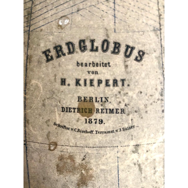
The globe's cartouche, or information label, provides the exact origins of the piece. “Erdglobus” is German for "Earth Globe" or "Terrestrial Globe.” Then for the cartography, “Bearbeitet von H. Kiepert” translates as Edited/compiled by Heinrich Kiepert.
The publisher is indicated as “Berlin, Dietrich Reimer” namely by the Dietrich Reimer Verlag. As for the craftsmen, “Schriftst. v. C. Bischoff, Terrainst. v. J. Sulzer.” Reads as lettering engraved by C. Bischoff, terrain/topography engraved by J. Sulzer. The topography was drawn and engraved by hand onto copper plates before being printed onto flat paper gores.
The cartographer, Heinrich Kiepert (1818–1899) was an eminent German geographer and university professor known for his extreme precision. His historical and ethnographic maps were celebrated across Europe for their scholarly accuracy.
The publisher, Dietrich Reimer was the dominant force in German globe manufacturing during the late 19th and early 20th centuries. Globes from this specific 1870s–1880s era are highly prized by collectors.
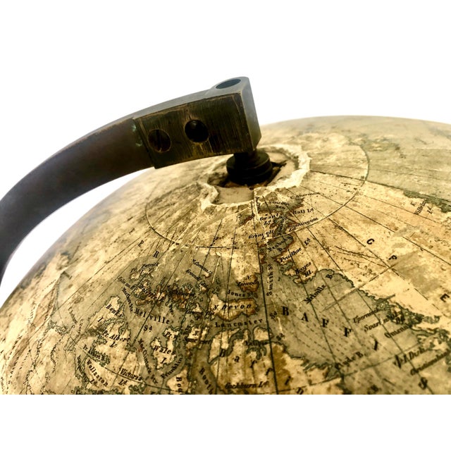
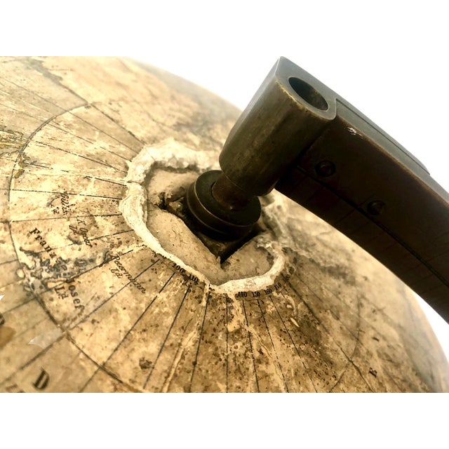
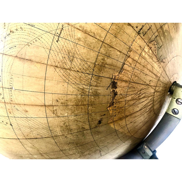
The sphere itself is typically made of papier-mâché or plaster, covered with 12 lithographed and hand-colored paper gores or segments. The globe is mounted on an ornate, Victorian-era cast-iron or bronze tripod pedestal stand featuring classical acanthas leaf patterns. It features a brass half-meridian ring that holds the globe at its matching axial tilt.
While this globe is completely smooth, the mountains are depicted using hachures and shading—the fine, parallel ink lines visible on the mountain chains in Europe, Asia, and Africa. This is a classic 19th-century flat cartographic printing technique used to create the illusion of three-dimensional depth on a flat piece of paper.
Signature/Maker’s Mark: Imprinted (photo #2).
See less
- Dimensions
- 32ʺW × 32ʺD × 36ʺH
- Styles
- Victorian
- Period
- Late 19th Century
- Country of Origin
- Germany
- Item Type
- Vintage, Antique or Pre-owned
- Materials
- Metal
- Paper Mache
- Condition
- Good Condition, Original Condition Unaltered, Some Imperfections
- Color
- Champagne
- Condition Notes
- Condition commensurate with age and use. Please review all photos. Condition commensurate with age and use. Please review all photos. less
Questions about the item?
Returns & Cancellations
Return Policy - All sales are final 48 hours after delivery, unless otherwise specified in the description of the product.
Cancellation Policy - Prior to shipping or local pickup, buyers may cancel an order for up to 48 hours, unless otherwise specified.