

Details
Description
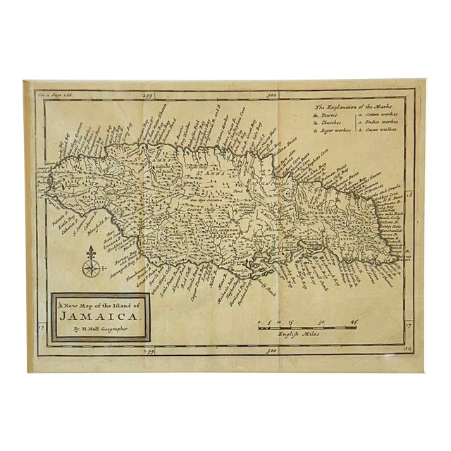
A finely engraved early 18th-century map of Jamaica by renowned London cartographer Herman Moll, published in 1716 in his important …
Read more
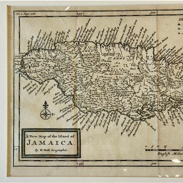
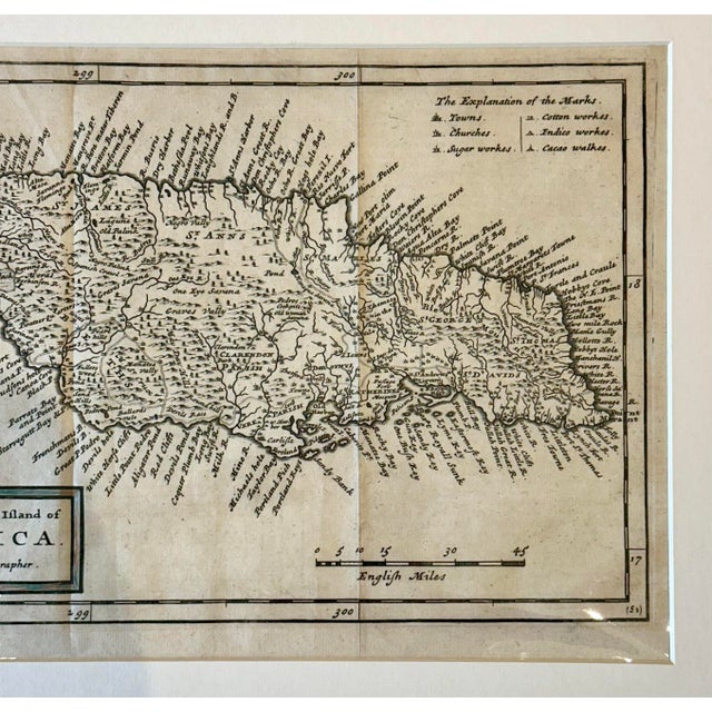
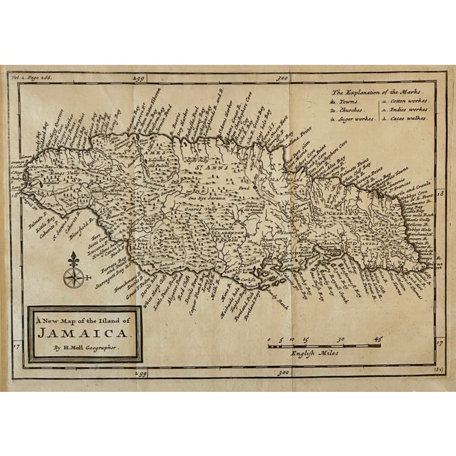
A finely engraved early 18th-century map of Jamaica by renowned London cartographer Herman Moll, published in 1716 in his important atlas Atlas Geographicus. This compact yet highly detailed copperplate map presents the island with exceptional clarity, identifying towns, churches, plantations, rivers, harbors, and coastal features during the height of the British colonial period.
Moll’s maps are prized for their historical significance and distinctive engraving style, and this example offers an elegant and accessible format ideal for collectors of Caribbean cartography, colonial history, or early British atlases.
In great condition, some fold lines visible. Dimensions: 16" x 13.5”
Please note: If you purchase multiple items, we’ll gladly combine shipping—just send us a message. Also, we offer white-glove delivery to select areas, and if you’re outside that range, your order will arrive within 5-7 days. Our goal is to ensure a fast and seamless shopping experience!
See less
- Dimensions
- 16ʺW × 1ʺD × 13.5ʺH
- Styles
- British Colonial
- Frame Type
- Unframed
- Period
- Early 18th Century
- Country of Origin
- United Kingdom
- Item Type
- Vintage, Antique or Pre-owned
- Materials
- Engraving
- Condition
- Good Condition, Original Condition Unaltered, Some Imperfections
- Color
- White
- Condition Notes
- In great condition, some fold lines visible. In great condition, some fold lines visible. less
Questions about the item?
Returns & Cancellations
Return Policy - All sales are final 48 hours after delivery, unless otherwise specified in the description of the product.
Cancellation Policy - Prior to shipping or local pickup, buyers may cancel an order for up to 48 hours, unless otherwise specified.