

Details
Description
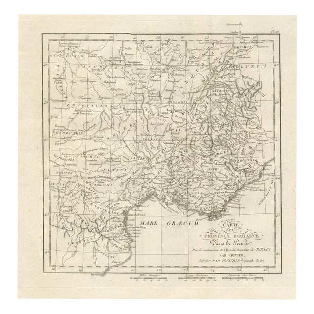
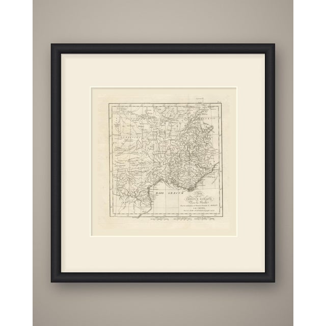
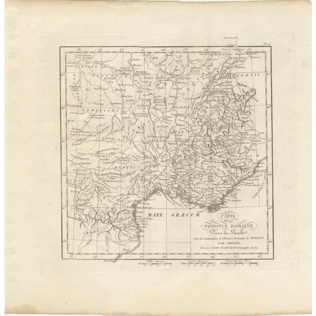
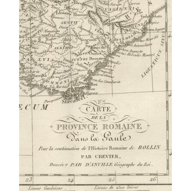
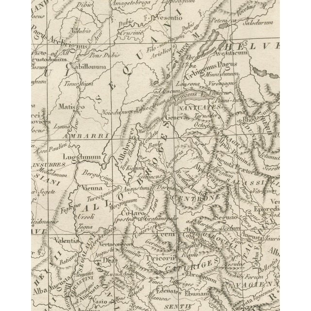
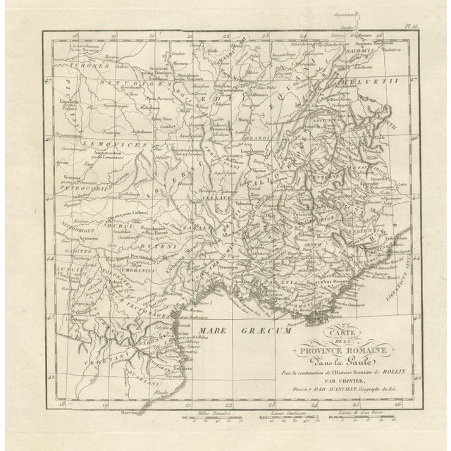
An original copper engraved map, uncoloured, of the Roman province of southern Gaul and the country behind it, from the … Read more An original copper engraved map, uncoloured, of the Roman province of southern Gaul and the country behind it, from the Loire valley and the Helvetii south to the coast of Catalonia at Barcino. The peoples are lettered in capitals, among them the Bituriges, Lemovices, Arverni, Ruteni, Aedui, Sequani, Helvetii, Allobroges, Helvii, Salyi and the Volcæ Tectosages. Lugdunum, Vienna, Valentia, Nemausus, Arelate, Aquae Sextiae, Massilia, Narbo Martius, Toulouse, Geneva, Vesontio, Alesia and Augustodunum are placed. The sea is lettered Mare Græcum, and the Emporiae and Barcino are located at the foot of the sea. The cartouche at lower right reads Map / of the / Roman Province / in Gaul / For the continuation of Rollin's Roman History / by Crevier, / Dressed by de Anville Geographer of the King. The plate number Pl. 26 is engraved above the upper right corner of the neatline. Three scale bars are engraved in the margin below the plate: Roman Milles, Gallic Places and Places of 2500 Toises. The plate belongs to the Atlas of Ancient Geography, published in Paris in 1818 by Ledoux and Tenré and printed by Didot the Younger to accompany the works of Charles Rollin (1661 to 1741). Its maps were engraved after the originals of Jean-Baptiste Bourguignon d'Anville (1697-1782). In the signed foreword Ambrose Tardieu, the geographer-engraver, states that the maps were copied with religious fidelity and that, charged with revising the proofs, he had only to correct negligence and faults of execution. Jean-Baptiste-Louis Crevier (1693 to 1765) continued Rollin's Roman History, and this plate is lettered for that continuation. Condition: Light uneven toning, browning towards the edges. Marked handling soiling along the bottom and top edges. Foxing over much of the margin. Complete sheet, all four corners present. Minor edge wear, shallow nicks along the bottom. Pale water stain in the lower left margin. This is an original antique map, not a modern reproduction. This item is sold unframed. Any framed or interior images are shown for presentation and inspiration purposes only, unless the listing explicitly states that the item is sold framed. See less
- Dimensions
- 13.78ʺW × 13.78ʺH
- Period
- 19th Century
- Country of Origin
- France
- Item Type
- Vintage, Antique or Pre-owned
- Materials
- Paper
- Condition
- Good Condition, Unknown, Some Imperfections
- Color
- Copper
- Condition Notes
- Very Good — This vintage item has no defects, but it may show slight traces of use\. Light uneven toning, … moreVery Good — This vintage item has no defects, but it may show slight traces of use\. Light uneven toning, browner toward the edges. Marked handling soiling along the bottom and top edges. Foxing over much of the margin. Minor edge wear, shallow nicks along the bottom. Pale water stain in the lower left margin. less
Returns & Cancellations
Return Policy - All sales are final 48 hours after delivery, unless otherwise specified in the description of the product.
Cancellation Policy - Prior to shipping or local pickup, buyers may cancel an order for up to 48 hours, unless otherwise specified.
Related Collections
- Le Corbusier Posters
- Silk Posters
- Posters in Naples, FL
- Baroque Posters
- Screen Print Posters
- Mark Rothko Posters
- Marc Chagall Posters
- Mid-Century Modern Posters
- Pablo Picasso Posters
- French Posters
- Art Deco Posters
- Milton Avery Posters
- Peter Max Posters
- Lee Krasner Posters
- Museum Posters
- Japanese Posters
- Keith Haring Posters
- Polish Posters
- Posters in Los Angeles
- Framed Posters
- Posters in Orlando
- Woodcut Posters
- Eastman Kodak Posters