


Details
Description
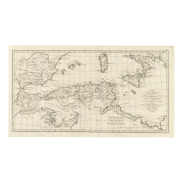
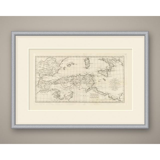
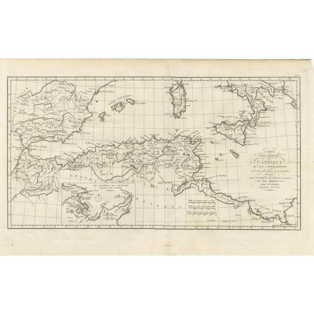
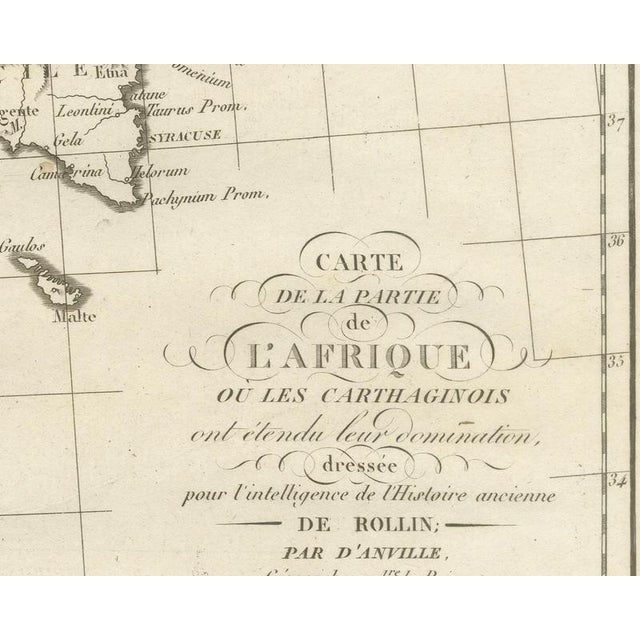
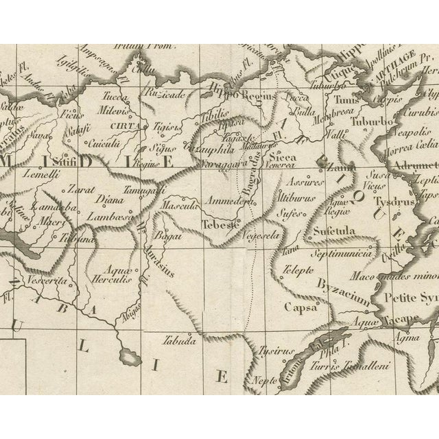
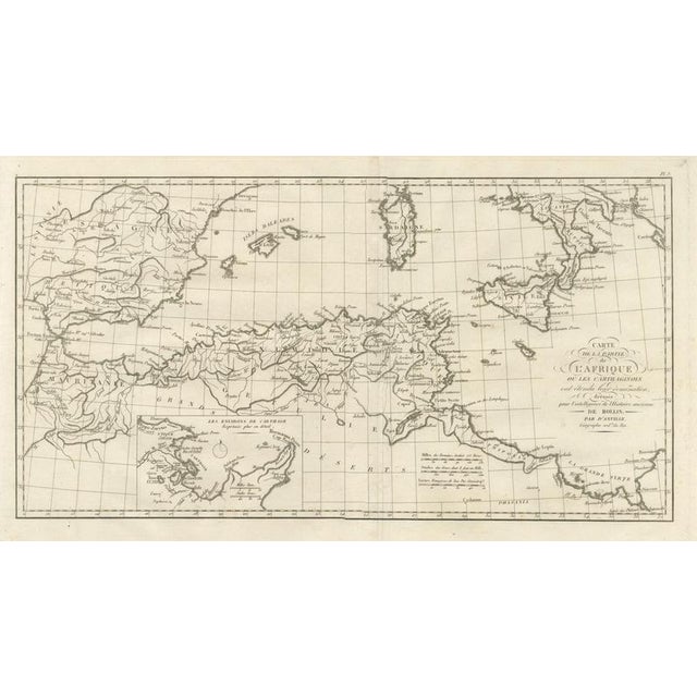
An original copper-engraved map, uncolored, of the western and central Mediterranean as far as Carthaginian power reached. Spain, with Carthage … Read more An original copper-engraved map, uncolored, of the western and central Mediterranean as far as Carthaginian power reached. Spain, with Carthage la Neuve, the Balearic Islands, Sardinia, and Sicily lie to the north; along the African shore are Mauritania, Numidia with Cirta, Hippo Regius, Utica, and Carthage, and the coast runs east past the Lesser Syrtis to the Greater Syrtis. A ruled inset at lower left, titled "The Environs of Carthage Expressed in More Detail," enlarges the city with Byrsa, Tunis, the Bagradas River, and Cap Bon. The cartouche at right reads "Map of the Part of Africa Where the Carthaginians Extended Their Domination, Drawn for the Understanding of Rollin's Ancient History; by d'Anville, Geographer to the King." The plate is numbered Pl. 3 above the upper right corner. Three scale bars are captioned Miles of the Romans, valued at 755 Toises, Stades of the Greeks, of which 8 make a French Thousand and Leagues, of 3000 Geometric Steps; the inset has its own bars for Milles Rom. and Greek Stadiums. No engraver is named on the sheet. The plate comes from the Atlas de Géographie Ancienne, published in Paris in 1818 by Ledoux et Tenré and printed by Didot le Jeune to accompany the works of Charles Rollin (1661 to 1741), the French historian whose Histoire ancien the map was drawn to illustrate. The title page states that the atlas was engraved after the original maps of Jean-Baptiste Bourguignon d'Anville (1697 to 1782). Its table of plates carries a foreword signed by Ambroise Tardieu, geographer-engraver, who writes that the maps were copied with religious fidelity and that, charged with reviewing the proofs, he had only negligences and defects of execution to correct. Carthage was the Phoenician city on the coast of present day Tunisia. Condition: Light uneven toning, browner toward the edges. Marked handling soiling along the top edge. Foxing over much of the margin. Complete sheet, all four corners present. Several larger brown marks. Shallow chipping along the top edge and a small crease in the upper right margin. Center fold as issued. This is an original antique map, not a modern reproduction. This item is sold unframed. Any framed or interior images are shown for presentation and inspiration only, unless the listing explicitly states that the item is sold framed. See less
- Dimensions
- 20.47ʺW × 13.78ʺH
- Period
- 19th Century
- Country of Origin
- France
- Item Type
- Vintage, Antique or Pre-owned
- Materials
- Paper
- Condition
- Good Condition, Unknown, Some Imperfections
- Color
- Brown
- Condition Notes
- Very Good — This vintage item has no defects, but it may show slight traces of use\. Uneven toning, browner … moreVery Good — This vintage item has no defects, but it may show slight traces of use\. Uneven toning, browner at the edges. Marked soiling along the top edge. Foxing in much of the margin. Several larger brown marks. Shallow chipping along the top edge and a small crease in the upper right margin. Center fold as issued less
Returns & Cancellations
Return Policy - All sales are final 48 hours after delivery, unless otherwise specified in the description of the product.
Cancellation Policy - Prior to shipping or local pickup, buyers may cancel an order for up to 48 hours, unless otherwise specified.
Related Collections
- Le Corbusier Posters
- Baroque Posters
- Claes Oldenburg Posters
- Posters in Savannah
- Posters in Naples, FL
- Silk Posters
- Screen Print Posters
- Marc Chagall Posters
- Mark Rothko Posters
- Mid-Century Modern Posters
- Art Deco Posters
- Pablo Picasso Posters
- French Posters
- Milton Avery Posters
- Peter Max Posters
- Lee Krasner Posters
- Museum Posters
- Posters in Los Angeles
- Japanese Posters
- Polish Posters
- Keith Haring Posters
- Framed Posters
- Posters in Orlando
- Woodcut Posters