

Details
Description
Colored lithographed map of Australia and Oceania published by Gras y Compañía in Madrid, with the key to the European …
Read more
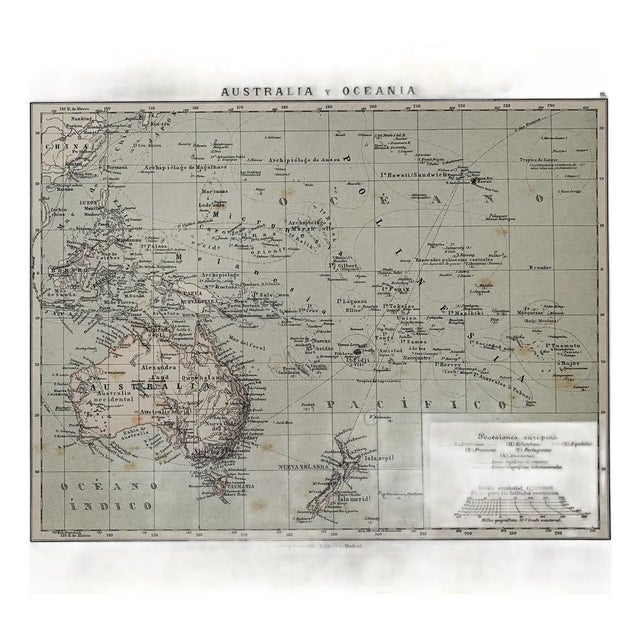
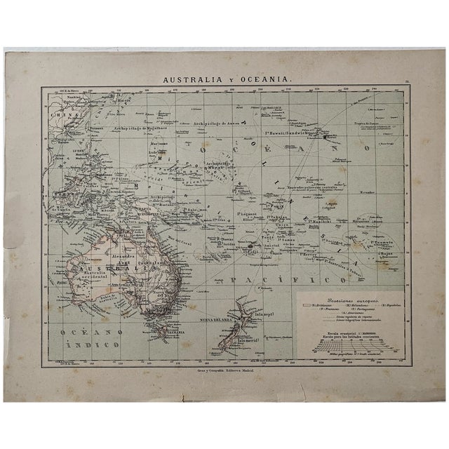
Colored lithographed map of Australia and Oceania published by Gras y Compañía in Madrid, with the key to the European possessions, British, Dutch, Spanish, French, Portuguese and American, and the courses of the regular steamer lines and of the international telegraph cables.
It records the colonial division of the Pacific before 1898, with the Marianas, Carolines and Palau still under Spanish sovereignty.
Medium: Colored lithograph.
Publisher: Gras y Compañía Editores, Madrid.
Date: 1885.
Dimensions: 13.1 x 10.4 in (33.2 x 26.5 cm).
Condition: Sound; yellowed paper with small tears and wear at the edges, without affecting the map.
See less
- Dimensions
- 13.1ʺW × 0.1ʺD × 10.4ʺH
- Styles
- Spanish
- Frame Type
- Unframed
- Period
- 19th Century
- Country of Origin
- Spain
- Item Type
- Vintage, Antique or Pre-owned
- Materials
- Lithograph
- Condition
- Good Condition, Original Condition Unaltered, Some Imperfections
- Color
- Beige
- Condition Notes
- Sound; yellowed paper with small tears and wear at the edges, without affecting the map. Sound; yellowed paper with small tears and wear at the edges, without affecting the map. less
Questions about the item?
Returns & Cancellations
Return Policy - All sales are final 48 hours after delivery, unless otherwise specified in the description of the product.
Cancellation Policy - Prior to shipping or local pickup, buyers may cancel an order for up to 48 hours, unless otherwise specified.