

Details
Description
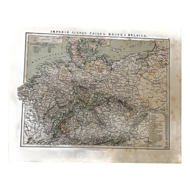
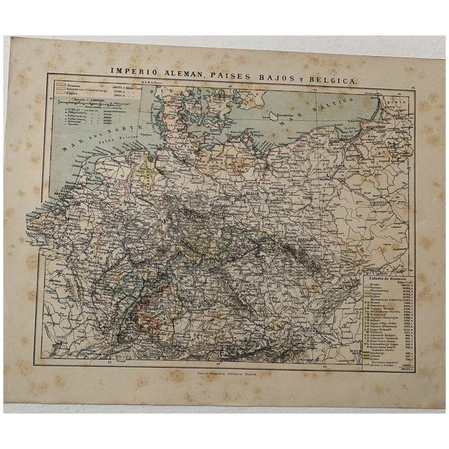
Colored lithographed map of the German Empire, the Netherlands and Belgium, published by Gras y Compañía in Madrid. It includes …
Read more
Colored lithographed map of the German Empire, the Netherlands and Belgium, published by Gras y Compañía in Madrid. It includes the tables of area and population and the full list of the states of the Empire, from Prussia to the free cities of Hamburg, Lübeck and Bremen, together with the imperial territory of Alsace-Lorraine.
Medium: Colored lithograph.
Publisher: Gras y Compañía Editores, Madrid.
Date: 1885.
Scale: 1:4,800,000.
Dimensions: 13.1 x 10.4 in (33.2 x 26.5 cm).
Condition: Fair condition; the map is clean and legible, with foxing scattered through the margins of the sheet.
See less
- Dimensions
- 13.1ʺW × 0.1ʺD × 10.4ʺH
- Styles
- Spanish
- Frame Type
- Unframed
- Period
- 19th Century
- Country of Origin
- Spain
- Item Type
- Vintage, Antique or Pre-owned
- Materials
- Lithograph
- Condition
- Good Condition, Original Condition Unaltered, Some Imperfections
- Color
- Brown
- Condition Notes
- Fair condition; the map is clean and legible, with foxing scattered through the margins of the sheet. Fair condition; the map is clean and legible, with foxing scattered through the margins of the sheet. less
Questions about the item?
Returns & Cancellations
Return Policy - All sales are final 48 hours after delivery, unless otherwise specified in the description of the product.
Cancellation Policy - Prior to shipping or local pickup, buyers may cancel an order for up to 48 hours, unless otherwise specified.