

Details
Description
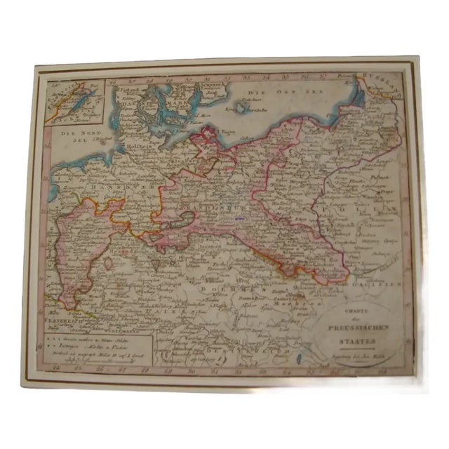
Antique map of the Prussian state, engraved and hand-colored, published in Augsburg by Johannes Walch. The cartouche is lettered "Charte …
Read more
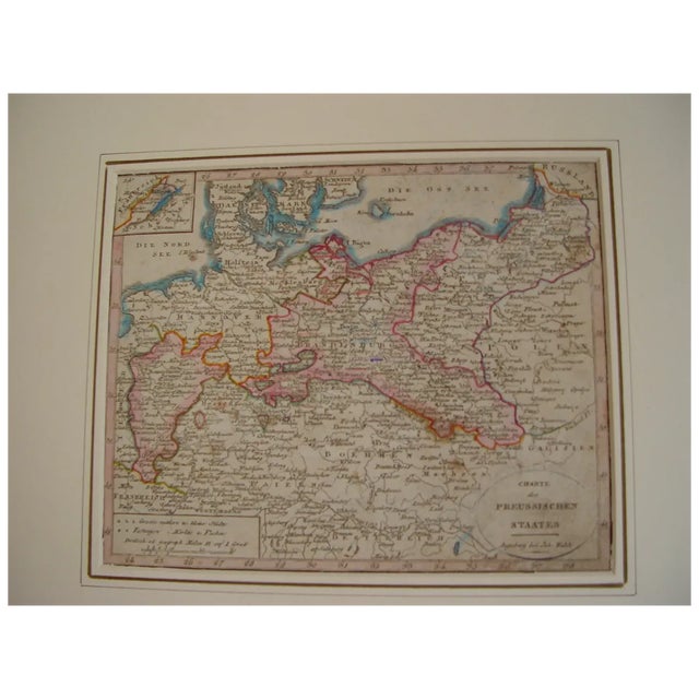
Antique map of the Prussian state, engraved and hand-colored, published in Augsburg by Johannes Walch. The cartouche is lettered "Charte des Preussischen Staates". It reaches from Holland to Poland and Galicia, with Berlin, the Baltic and an inset of Denmark and Schleswig-Holstein.
Johann Walch (Kempten, 1757 - Augsburg, 1815) built his map-publishing house in Augsburg on the copperplates of Matthaus Seutter and Tobias Conrad Lotter, acquired in 1789.
Medium: Copper engraving, hand-colored.
Artist / after: Johann Walch (1757-1815).
Date: Early 19th century.
Source: Published in Augsburg by Joh. Walch.
Dimensions: Sheet 7.2 x 8.9 in (18.3 x 22.5 cm).
Condition: Good; presented in a mat.
See less
- Dimensions
- 7.2ʺW × 0.1ʺD × 8.9ʺH
- Styles
- Baroque
- Frame Type
- Unframed
- Period
- Early 19th Century
- Item Type
- Vintage, Antique or Pre-owned
- Materials
- Copper
- Engraving
- Condition
- Good Condition, Original Condition Unaltered, Some Imperfections
- Color
- Beige
- Condition Notes
- Good; presented in a mat. Good; presented in a mat. less
Questions about the item?
Returns & Cancellations
Return Policy - All sales are final 48 hours after delivery, unless otherwise specified in the description of the product.
Cancellation Policy - Prior to shipping or local pickup, buyers may cancel an order for up to 48 hours, unless otherwise specified.