

Details
Description
An original and historically significant antique copperplate engraving published in 1743 by the celebrated French cartographer Jean-Baptiste Bourguignon d’Anville (1697–1782), …
Read more
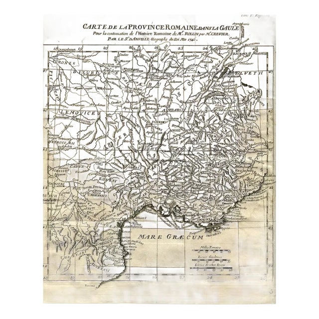
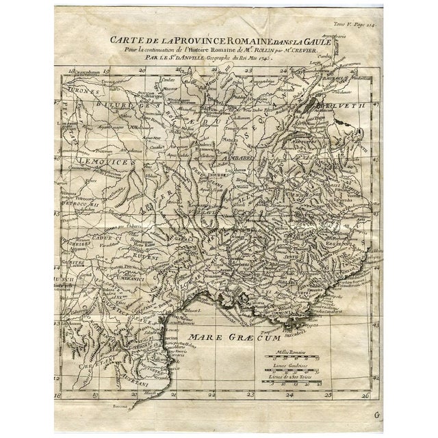
An original and historically significant antique copperplate engraving published in 1743 by the celebrated French cartographer Jean-Baptiste Bourguignon d’Anville (1697–1782), Geographer to the King of France. This map was prepared for the continuation of Mr. Rollin’s Histoire Romaine by Mr. Crevier, one of the most important classical historians of the 18th century.
Titled Carte de la Province Romaine dans la Gaule, the map details Southern Gaul during the Roman period, including major Roman roads, ancient provinces, and Latin place names such as Lugdunum (Lyon), Massilia (Marseille), Narbo (Narbonne), and Vienna (Vienne). Borders, rivers, and tribes are clearly marked, making it an exceptional historical and educational reference.
Inscription:
Par le Sr. D’Anville, Géographe du Roi, Mai 1743
(Tome V, Page 214)
Engraver/Cartographer: Jean-Baptiste Bourguignon d’Anville
Published for: Histoire Romaine by Charles Rollin / Crevier
Production date: 1743
Technique: Copperplate engraving
Language: French and Latin
Map area: Southern France (Gaul), Mediterranean coast
Measurements:
Plate (image) size: approx. 28 × 21.2 cm
Condition: Good. Original folds as issued. Some minor age-related creases and wear along folds. Very well-preserved impression.
See less
- Dimensions
- 8.35ʺW × 0.1ʺD × 11.02ʺH
- Styles
- Rococo
- Frame Type
- Unframed
- Period
- 18th Century
- Item Type
- Vintage, Antique or Pre-owned
- Materials
- Paper
- Condition
- Good Condition, Original Condition Unaltered, Some Imperfections
- Color
- Beige
- Condition Notes
- Good. Original folds as issued. Some minor age-related creases and wear along folds. Very well-preserved impression. Good. Original folds as issued. Some minor age-related creases and wear along folds. Very well-preserved impression. less
Questions about the item?
Returns & Cancellations
Return Policy - All sales are final 48 hours after delivery, unless otherwise specified in the description of the product.
Cancellation Policy - Prior to shipping or local pickup, buyers may cancel an order for up to 48 hours, unless otherwise specified.