

Details
Description
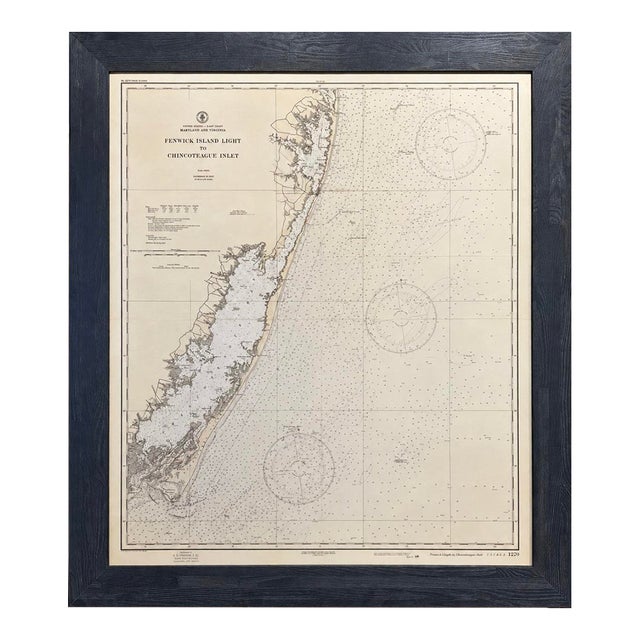
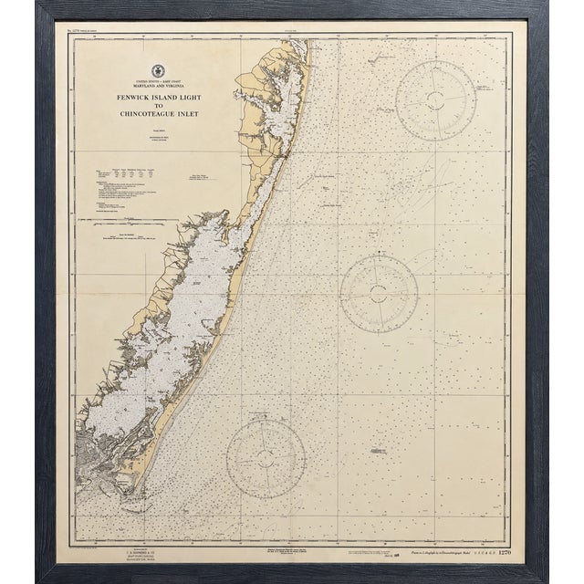
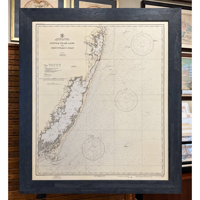
Original 1944 U.S. Coast and Geodetic Survey nautical chart depicting the Atlantic coastline from Fenwick Island Light south to Chincoteague …
Read more
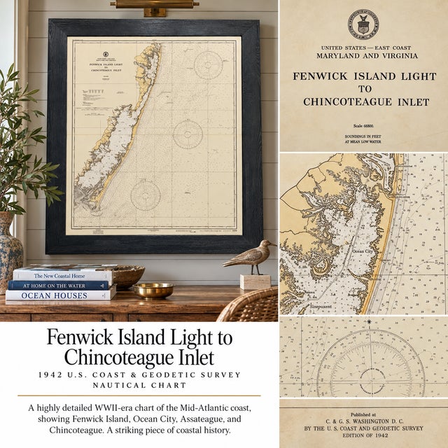
Original 1944 U.S. Coast and Geodetic Survey nautical chart depicting the Atlantic coastline from Fenwick Island Light south to Chincoteague Inlet, encompassing the coastal waters of Delaware, Maryland, and Virginia. Published in Washington, D.C. during World War II, the chart bears the seal of the Department of Commerce and is an exceptional piece of Eastern Shore and maritime history.
Extremely detailed, the chart identifies Ocean City, Assateague and Chincoteague, along with coastal towns, roads, waterways, marshes, harbors, beaches, shoals, rocks, channels, railroads, and the Intracoastal Waterway. Navigational information includes depth soundings at mean low water, lights, buoys, Coast Guard stations, radio beacons and towers, day beacons, nautical-mile scales, tide information, and designated restricted areas.
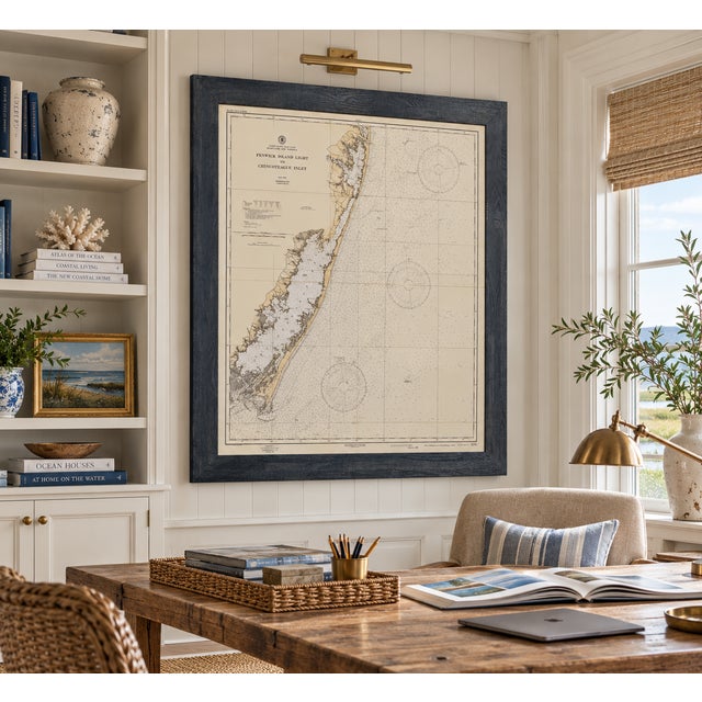
Custom framed with a wood frame and UV-resistant glass. In excellent condition, light wear on paper. Dimensions: 41.5 x 48"
See less
- Dimensions
- 41.5ʺW × 2ʺD × 48ʺH
- Frame Type
- Framed
- Period
- 1940s
- Country of Origin
- United States
- Item Type
- Vintage, Antique or Pre-owned
- Materials
- Engraving
- Glass
- Wood
- Condition
- Good Condition, Original Condition Unaltered, Some Imperfections
- Color
- Cream
- Condition Notes
- In excellent condition, light wear on paper. In excellent condition, light wear on paper. less
Questions about the item?
Returns & Cancellations
Return Policy - All sales are final 48 hours after delivery, unless otherwise specified in the description of the product.
Cancellation Policy - Prior to shipping or local pickup, buyers may cancel an order for up to 48 hours, unless otherwise specified.