

Details
Description
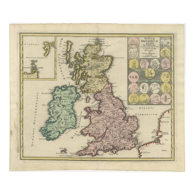
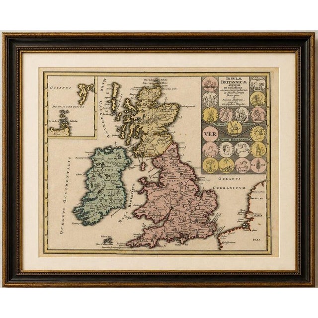
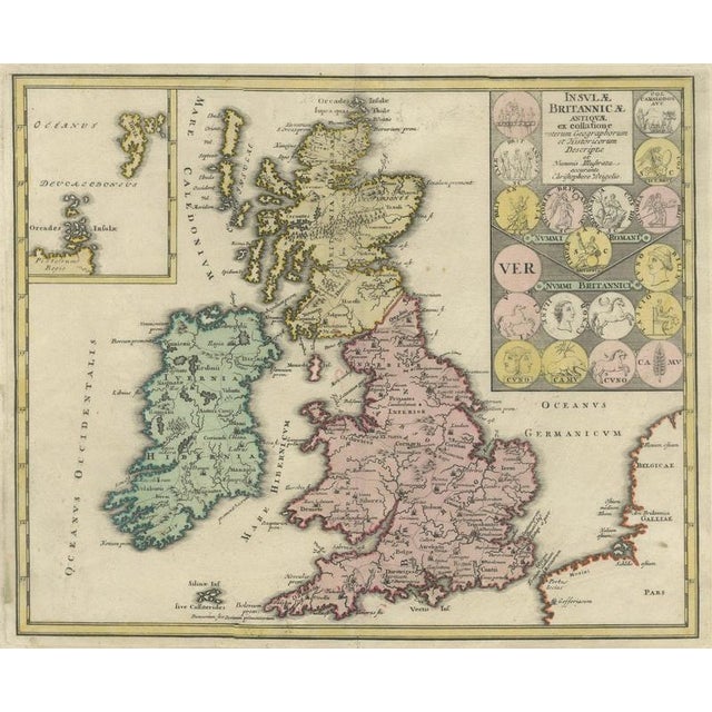
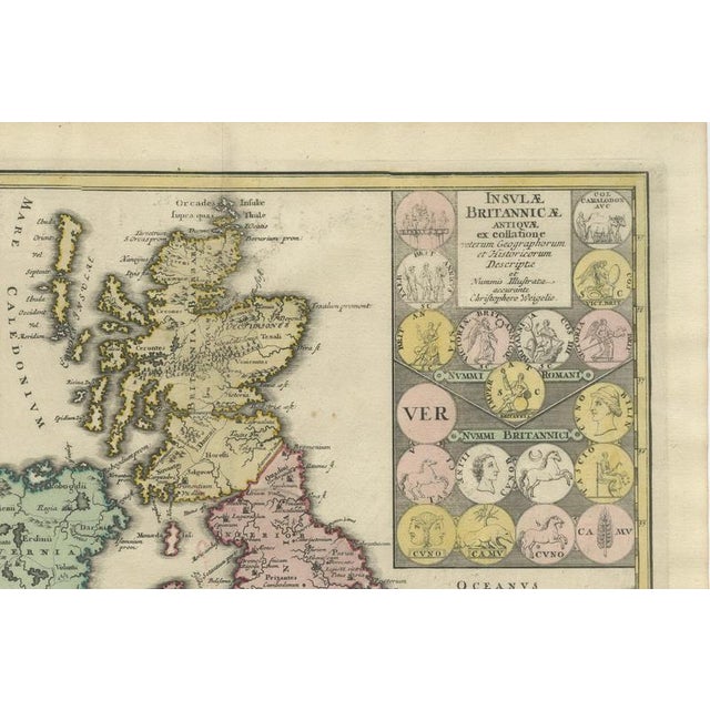
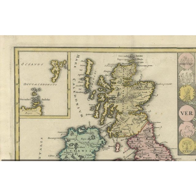
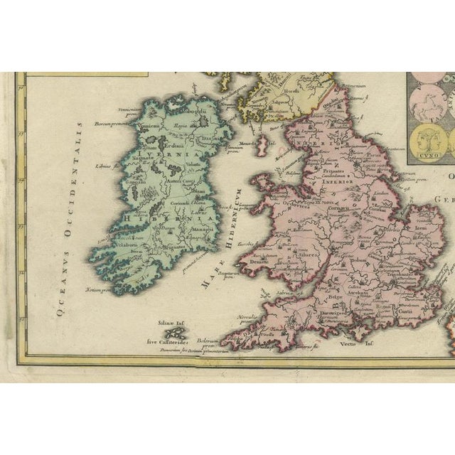
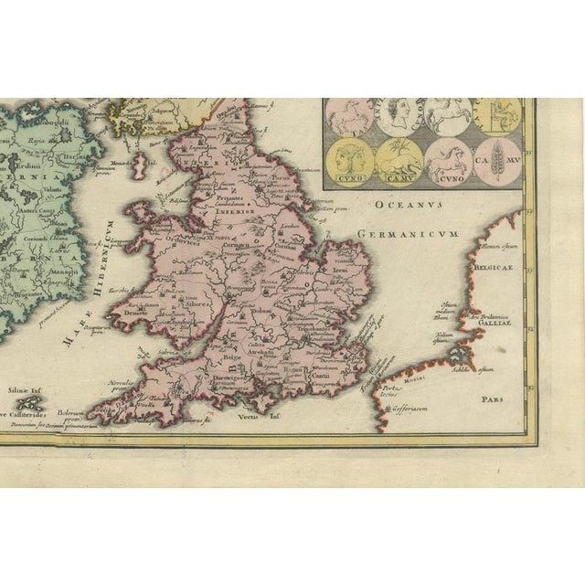
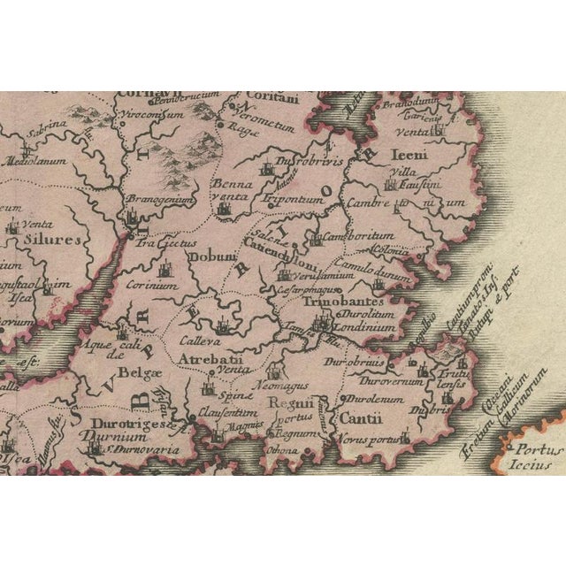
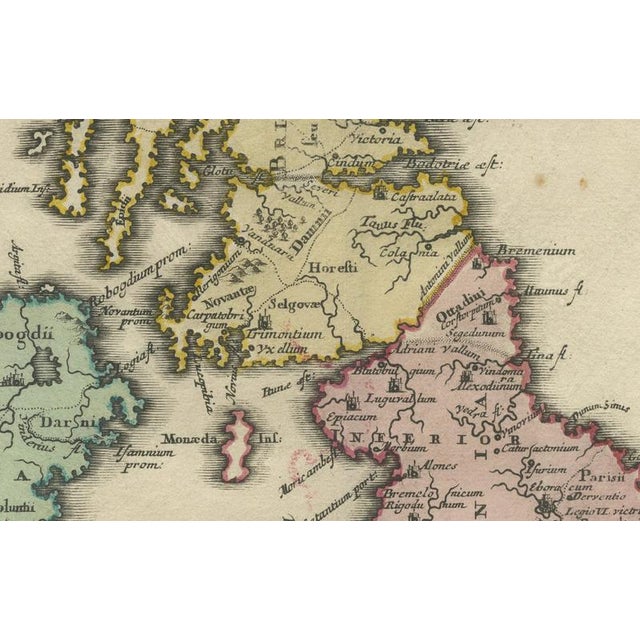
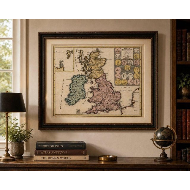
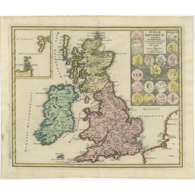
Ancient Britain & Ireland with Roman and British Coins, Weigel, 1718 : A striking early 18th-century map of the British … Read more Ancient Britain & Ireland with Roman and British Coins, Weigel, 1718 : A striking early 18th-century map of the British Isles as understood in antiquity, depicting Great Britain and Ireland through the geography of Roman and classical writers. Published in Nuremberg by Johann Christoph Weigel around 1718, the map is particularly decorative for its combination of historical cartography, original hand coloring and an extraordinary panel of ancient coins. Great Britain appears as Britannia, with Ireland identified by the ancient names Hibernia and Ivernia. Rather than contemporary counties and political divisions, the map records ancient tribal territories, settlements and classical place names. Londinium is shown on the Thames, while both Hadrian’s Wall and the Antonine Wall are represented. The Orkney Islands appear as the Orcades Insulae, with an additional inset at upper left devoted to the northern islands. One of the most appealing features is the large numismatic panel at upper right. Eighteen ancient coins associated with Roman and early British history are illustrated, including portraits, animals, figures and symbols. Weigel incorporated this numismatic evidence as part of his attempt to reconstruct and illustrate the ancient geography and history of Britain. The map also includes part of the continental coastline across the English Channel, including portions of ancient Gallia and Belgica. Title: Insulae Britannicae Antiquae ex collatione veterum Geographorum et Historicorum descriptae et Nummis illustratae Cartographer / Publisher: Johann Christoph Weigel (1661–1726) Place of Publication: Nuremberg Date: circa 1718 Medium: Copper engraving with original hand coloring Condition: Good antique condition overall with expected signs of age, including some toning, occasional spotting, minor staining and handling marks. There is some visible age-related discoloration particularly toward the margins. Please examine the photographs carefully as they form an important part of the condition . Please contact us if you would like a more detailed condition report. This is an original antique map published in the early 18th century, not a modern reproduction. Sold unframed. Any framed or interior images are for presentation and inspiration only. Keywords: ancient Britain map, antique British Isles map, Britain Ireland map, Britannia map, Hibernia map, Roman Britain map, Johann Christoph Weigel, Weigel map, 1718 map, ancient Ireland map, Roman coins, British coins, numismatic map, Londinium, Hadrian's Wall, Antonine Wall, ancient British tribes, historical Britain, 18th century map, antique England map, antique Scotland map, antique Ireland map, Nuremberg cartography, hand colored map, copper engraving See less
- Dimensions
- 27.95ʺW × 24.02ʺH
- Styles
- Baroque
- Period
- 18th Century
- Country of Origin
- Germany
- Item Type
- Vintage, Antique or Pre-owned
- Materials
- Paper
- Condition
- Good Condition, Unknown, Some Imperfections
- Color
- Copper
- Condition Notes
- Very Good — This vintage item has no defects, but it may show slight traces of use\. Wear consistent with … moreVery Good — This vintage item has no defects, but it may show slight traces of use\. Wear consistent with age and use, With expected signs of age, including some toning, occasional spotting, minor staining and handling marks, There is some visible age-related discoloration particularly toward the margins less
Returns & Cancellations
Return Policy - All sales are final 48 hours after delivery, unless otherwise specified in the description of the product.
Cancellation Policy - Prior to shipping or local pickup, buyers may cancel an order for up to 48 hours, unless otherwise specified.