





Details
Description
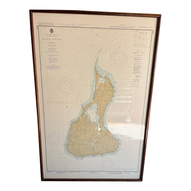
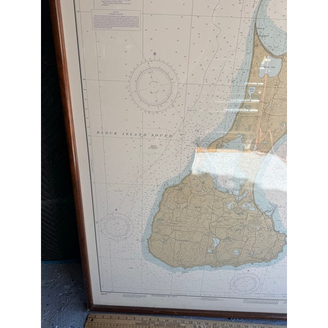
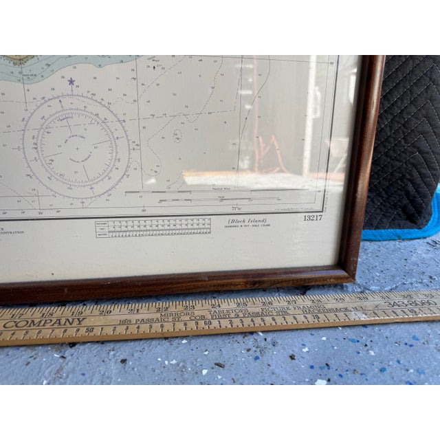
Service nautical chart of Block Island, Rhode Island (Chart No. 13217).
This classic United States East Coast chart shows Block …
Read more
Service nautical chart of Block Island, Rhode Island (Chart No. 13217).
This classic United States East Coast chart shows Block Island in warm tan with detailed topography, surrounding waters of Block Island Sound, soundings in feet at mean low water, compass roses, cable areas, and navigational notes. It is drawn on the Mercator projection at a scale of 1:15,000 (at Lat. 41°12′) using the North American 1927 Datum.
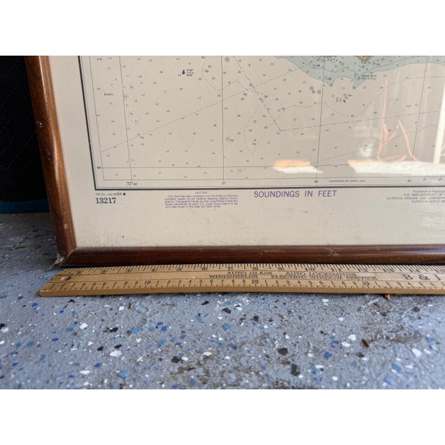
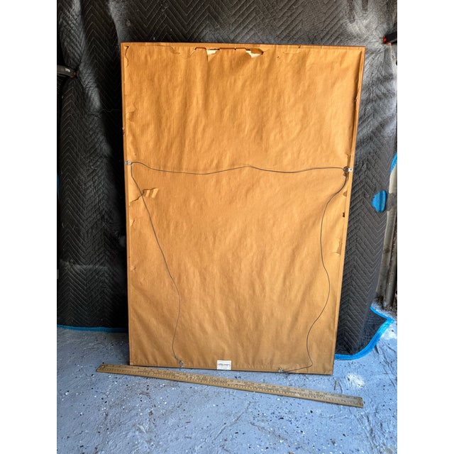
Professionally presented in a simple dark wood frame under glass, ready to hang. The chart retains the original NOAA logo, title block, and chart number 13217 printed in the margins.
A wonderful piece of coastal or nautical wall art—perfect for a beach house, study, office, or anyone with a connection to Rhode Island or New England sailing. The soft, aged paper tone and clear cartography give it an authentic vintage feel while remaining highly decorative.
Materials: Paper chart, wood frame, glass.
Condition: Good vintage condition. Chart is clean and legible with expected light age toning. Frame shows minor wear consistent with age. Reflections visible in photos are from the glass.
Ideal statement piece for coastal, traditional, or maritime interiors.
See less
Questions about the item?
Returns & Cancellations
Return Policy - All sales are final 48 hours after delivery, unless otherwise specified in the description of the product.
Cancellation Policy - Prior to shipping or local pickup, buyers may cancel an order for up to 48 hours, unless otherwise specified.