






Details
Description
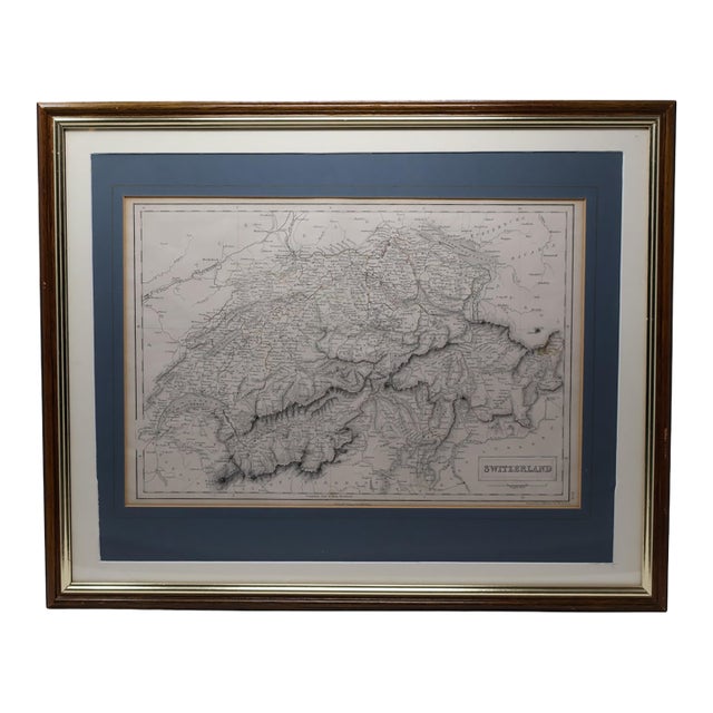
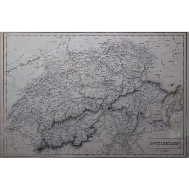
An authentic 1854 steel-engraved map of Switzerland, published in Edinburgh by the distinguished Scottish firm Adam & Charles Black and …
Read more
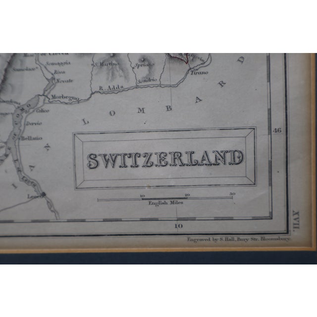
An authentic 1854 steel-engraved map of Switzerland, published in Edinburgh by the distinguished Scottish firm Adam & Charles Black and engraved by S. Hall of Bury Street, Bloomsbury.
Created for A. & C. Black’s mid-19th-century atlas publications, the map presents Switzerland and its surrounding Alpine geography in remarkable engraved detail. Fine hachures articulate the mountainous terrain, while original hand-applied outline coloring distinguishes regional and political boundaries in muted red, green, and golden tones. An ornamental title cartouche, mileage scale, period place names, and precisely engraved typography contribute to its scholarly yet highly decorative character.
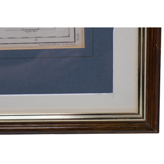
The lower margins retain the original publisher and engraver imprints: “Edinburgh, Published by A. & C. Black” and “Engraved by S. Hall, Bury Str. Bloomsbury.” Although works signed S. Hall are traditionally cataloged under the celebrated map engraver Sidney Hall, later plates bearing this signature are also associated with Selina Hall and the Hall engraving workshop.
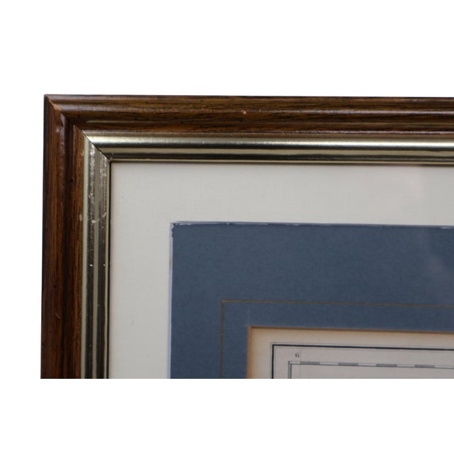
Presented beneath glass with a wide cream mat, navy inner mat, and fine gilt-lined detail. The brown wood frame incorporates a complementary metallic inner molding. A label from Portobello Prints, formerly located at 177 Portobello Road in London, identifies the sheet as having “original colouring” and dates its publication to circa 1855. Institutional atlas records allow the publication date to be more precisely identified as 1854.
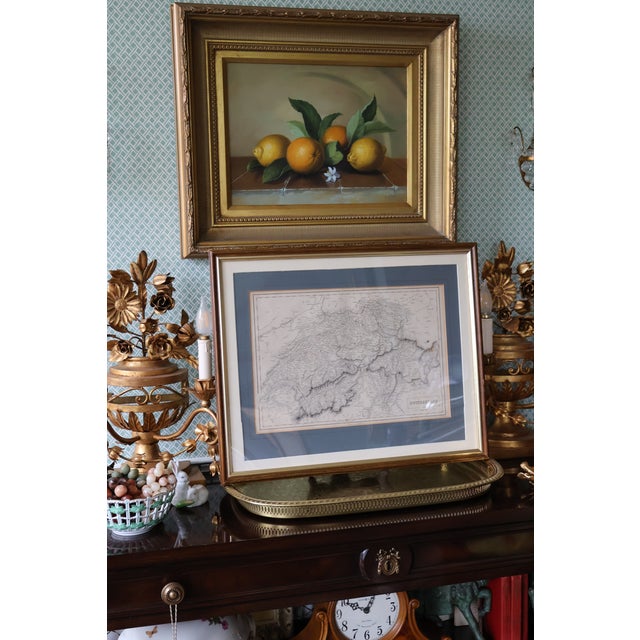
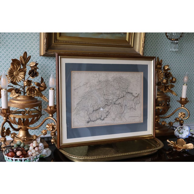
An evocative piece of Victorian cartography that would be particularly compelling in an English country interior, traditional library, collected study, grandmillennial room, or Alpine-inspired setting.
Acquired from a private collection.
Overall framed dimensions: approximately 21.5ʺW × 17.5ʺH. Please refer to the separately stated depth measurement.
See less
- Dimensions
- 21.5ʺW × 1ʺD × 17.5ʺH
- Styles
- Rustic European
- Victorian
- Frame Type
- Framed
- Period
- Mid 19th Century
- Country of Origin
- United Kingdom
- Item Type
- Vintage, Antique or Pre-owned
- Materials
- Glass
- Paper
- Pen and Ink
- Wood
- Condition
- Good Condition, Unknown, Some Imperfections
- Color
- Ivory
- Condition Notes
- Good antique condition consistent with approximately 170 years of age. The map retains strong engraved detail and attractive original coloring, … moreGood antique condition consistent with approximately 170 years of age. The map retains strong engraved detail and attractive original coloring, with even warm toning, slight edge discoloration, and minor scattered specks or surface marks. No visible tears, punctures, major creases, or significant moisture damage were observed through the glass. The frame has minor rubbing, small nicks, finish wear, and slight wear or separation at one rear corner. The glass is intact. The backing, matting, frame, and hanging hardware are later than the map. The map has not been removed from the frame and has not been examined outside its presentation. less
Questions about the item?
Returns & Cancellations
Return Policy - All sales are final 48 hours after delivery, unless otherwise specified in the description of the product.
Cancellation Policy - Prior to shipping or local pickup, buyers may cancel an order for up to 48 hours, unless otherwise specified.