


Details
Description
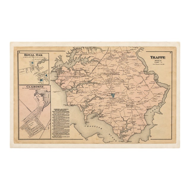
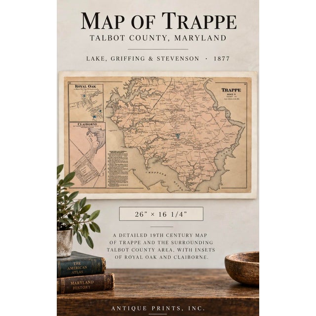
Original engraving 1877 map of Trappe, Talbot County, Maryland, published by Lake, Griffing & Stevenson. This detailed 19th-century map depicts …
Read more
Original engraving 1877 map of Trappe, Talbot County, Maryland, published by Lake, Griffing & Stevenson. This detailed 19th-century map depicts Trappe and the surrounding Talbot County countryside, with individual property owners, roads, waterways, churches, schools, and other local landmarks identified.
The map also includes detailed inset plans of Royal Oak and Claiborne, making it an especially interesting historical record of Maryland’s Eastern Shore. Beautiful original period coloring and natural age toning throughout. Very good condition. Unframed.
Dimensions: 26" × 16 1/4"
See less
- Dimensions
- 26ʺW × 1ʺD × 16.25ʺH
- Styles
- Early American
- Frame Type
- Unframed
- Period
- Late 19th Century
- Country of Origin
- United States
- Item Type
- Vintage, Antique or Pre-owned
- Materials
- Engraving
- Condition
- Good Condition, Original Condition Unaltered, Some Imperfections
- Color
- Antique White
- Condition Notes
- Very good condition Very good condition less
Questions about the item?
Returns & Cancellations
Return Policy - All sales are final 48 hours after delivery, unless otherwise specified in the description of the product.
Cancellation Policy - Prior to shipping or local pickup, buyers may cancel an order for up to 48 hours, unless otherwise specified.