

Details
Description
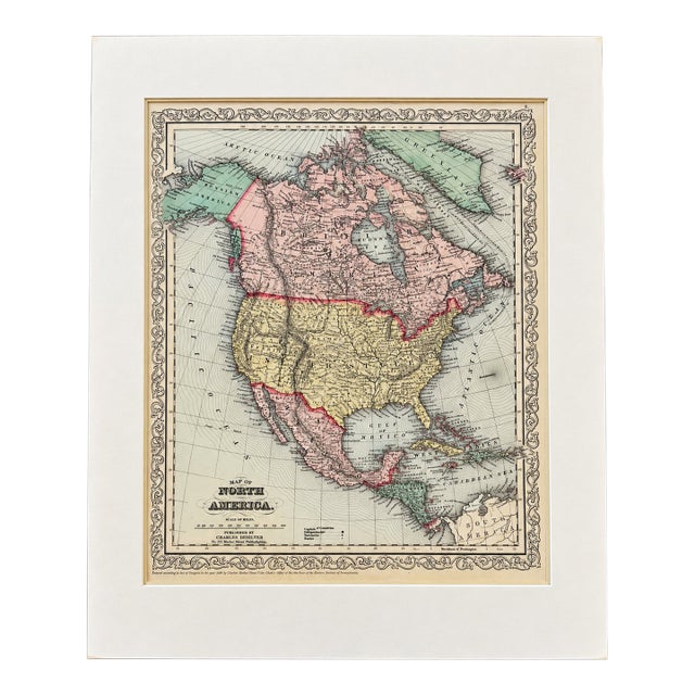
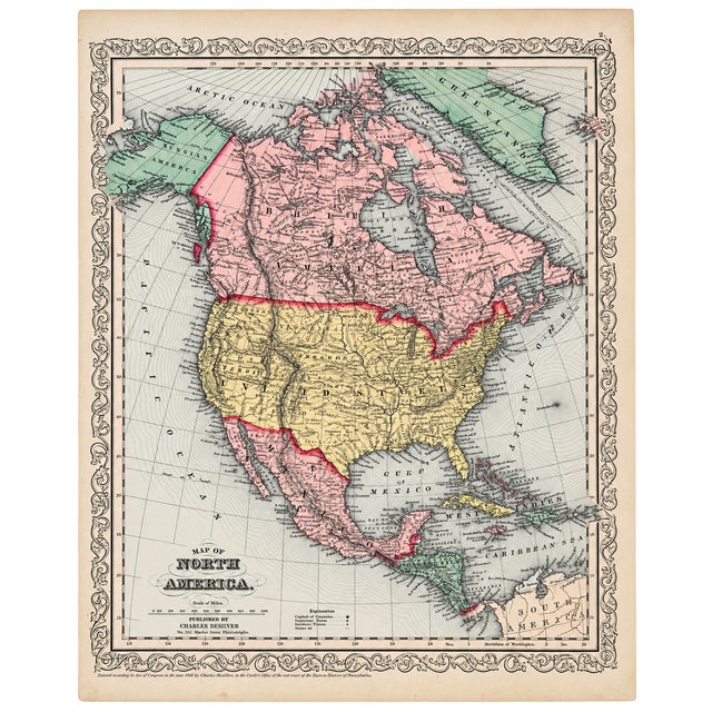
Original hand-colored map of North America, published by Charles DeSilver in Philadelphia in 1858. The map presents the continent from …
Read more
Original hand-colored map of North America, published by Charles DeSilver in Philadelphia in 1858. The map presents the continent from the Arctic regions through Canada, the United States, Mexico, Central America, and the Caribbean, with extensive geographic detail throughout.
Particularly attractive for its original period hand coloring, decorative engraved border, and detailed depiction of the rapidly changing political geography of North America during the mid-19th century. Western territories, early state boundaries, mountain ranges, rivers, cities, and transportation routes provide a fascinating snapshot of the continent just before the American Civil War.
Great condition. Dimensions: 18" x 21" (mat), 14 1/2" x 17 1/2" (map)
See less
- Dimensions
- 18ʺW × 1ʺD × 21ʺH
- Styles
- Early American
- Frame Type
- Unframed
- Period
- Mid 19th Century
- Country of Origin
- United States
- Item Type
- Vintage, Antique or Pre-owned
- Materials
- Engraving
- Condition
- Good Condition, Original Condition Unaltered, Some Imperfections
- Color
- Antique White
- Condition Notes
- great condition great condition less
Questions about the item?
Returns & Cancellations
Return Policy - All sales are final 48 hours after delivery, unless otherwise specified in the description of the product.
Cancellation Policy - Prior to shipping or local pickup, buyers may cancel an order for up to 48 hours, unless otherwise specified.