

Details
Description
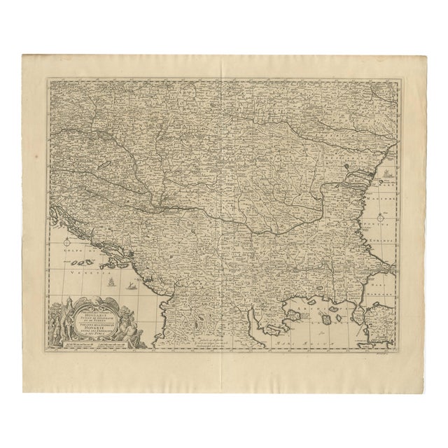
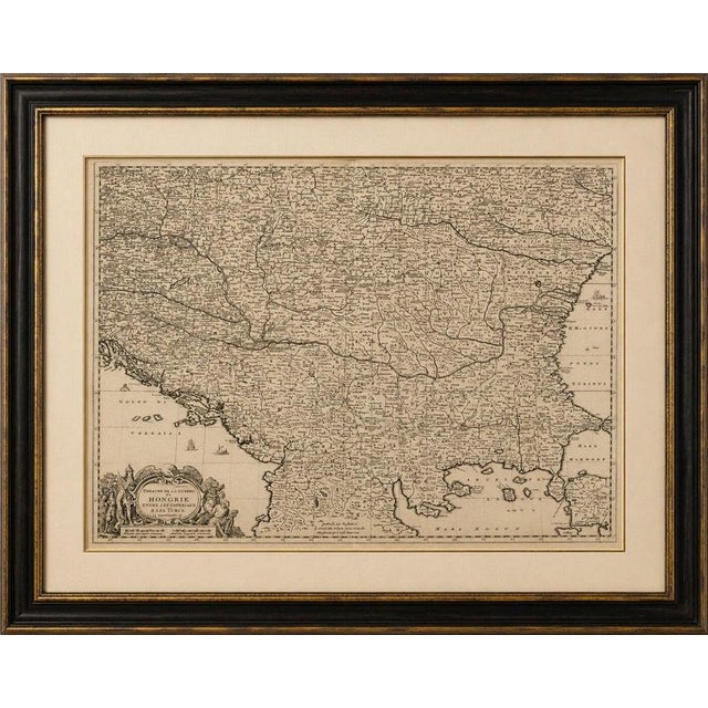
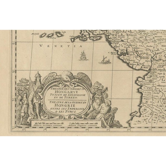
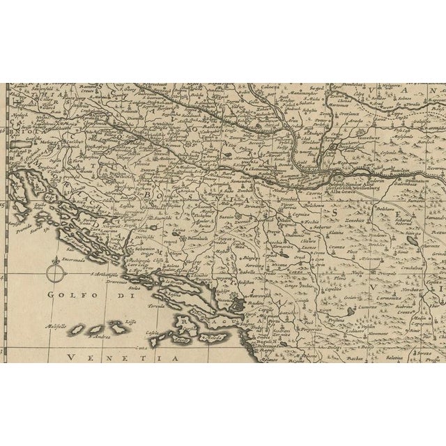
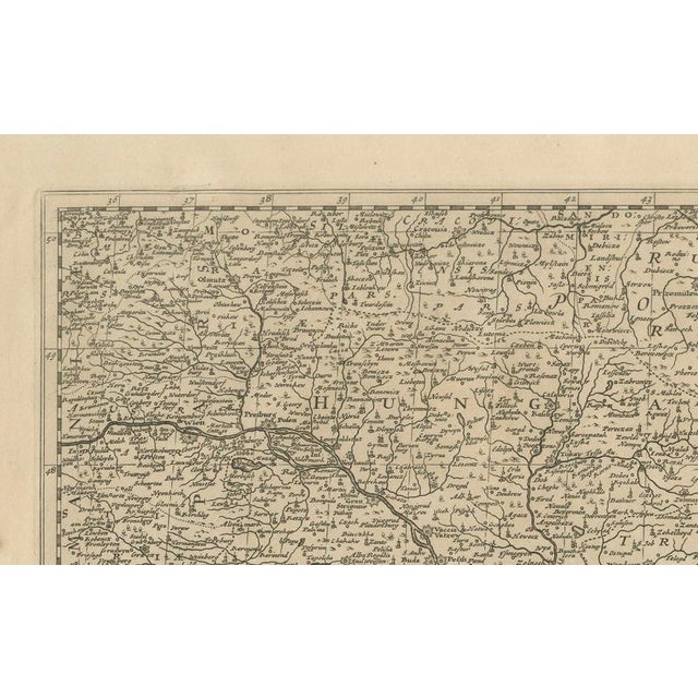
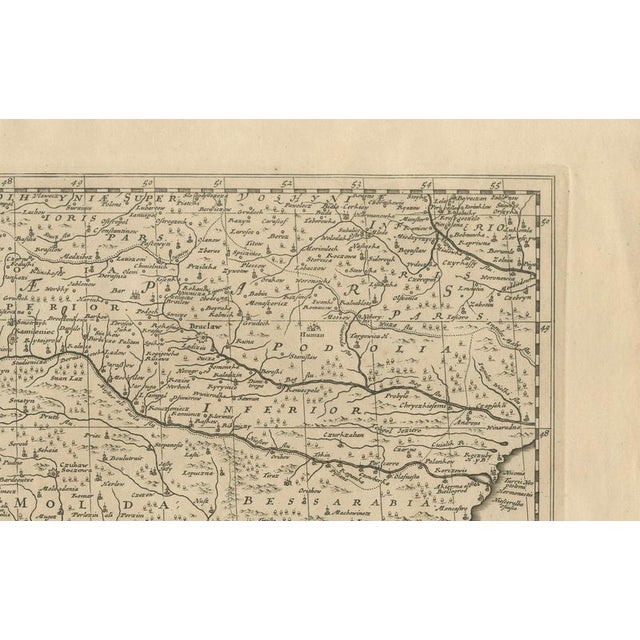
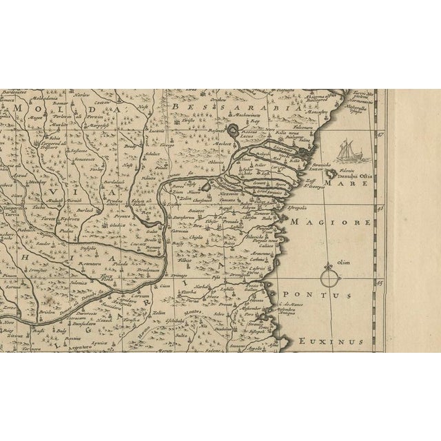
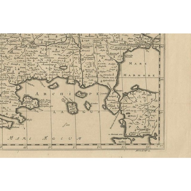
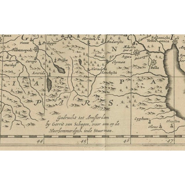
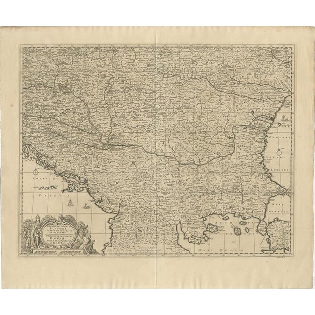
Title: large map of the habsburg–ottoman war, hungary & balkans, 1729 description: large and exceptionally detailed original copper-engraved map showing … Read more Title: large map of the habsburg–ottoman war, hungary & balkans, 1729 description: large and exceptionally detailed original copper-engraved map showing hungary and the surrounding territories during the wars between the habsburg empire and the ottoman empire. Entitled “theatre de la guerre en hongrie entre les imperiaux & les turcs,” the map covers an extensive area of central and southeastern europe, including hungary, transylvania, croatia, dalmatia, bosnia, serbia, wallachia and moldavia, extending from the habsburg lands toward the black sea and south to the northern greek and aegean regions. The map is densely engraved with cities, towns, rivers, mountain ranges, roads and political territories. At lower left is an impressive figurative baroque title cartouche decorated with military and allegorical figures, emphasizing the map's subject as a theatre of war between christian imperial and ottoman forces. Originally designed by dutch cartographer gerrit van schagen, this example is from the 1729 edition associated with dumont and rousset's history of the military campaigns of prince eugene of savoy. Printed from two copper plates, the large format and wealth of geographical information make this both an important historical document and a highly decorative example of early 18th-century european cartography. Original title: “theatre de la guerre en hongrie entre les imperiaux & les turcs” cartographer: gerrit van schagen (c. 1642–1724) publication: dumont & rousset, histoire militaire du prince eugène de savoye date: 1729 origin: netherlands / european publication medium: original copper engraving on paper, printed from two plates subject: habsburg–ottoman wars hungary ottoman empire habsburg empire balkans central europe southeastern europe prince eugene of savoy period / style: baroque early 18th century condition: good antique condition. Original central fold as issued. The sheet shows some localized age-related browning and light toning, together with minor marginal wear and small edge imperfections consistent with an original map nearly 300 years old. The engraved map itself remains strong and highly detailed, with the elaborate figurative cartouche particularly well preserved. Please examine the photographs carefully as they form an integral part of the condition . Framing: offered unframed. Any framed or interior photographs shown are for presentation and inspiration only. Authenticity: an original antique copper-engraved map from the 1729 edition. This is an original period impression and not a modern reproduction. See less
- Dimensions
- 25.98ʺW × 22.05ʺH
- Styles
- Baroque
- Period
- 18th Century
- Country of Origin
- Netherlands
- Item Type
- Vintage, Antique or Pre-owned
- Materials
- Paper
- Condition
- Good Condition, Unknown, Some Imperfections
- Color
- Black
- Condition Notes
- Very Good — This vintage item has no defects, but it may show slight traces of use\. Wear consistent with … moreVery Good — This vintage item has no defects, but it may show slight traces of use\. Wear consistent with age and use. Good antique condition. Original central fold as issued. The sheet shows some localized age-related browning and light toning, together with minor marginal wear and small edge imperfections consistent with an original map less
Returns & Cancellations
Return Policy - All sales are final 48 hours after delivery, unless otherwise specified in the description of the product.
Cancellation Policy - Prior to shipping or local pickup, buyers may cancel an order for up to 48 hours, unless otherwise specified.