

Details
Description
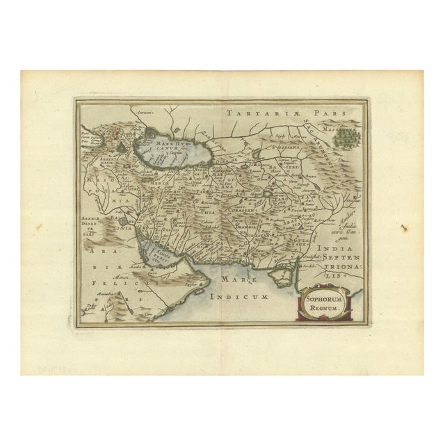
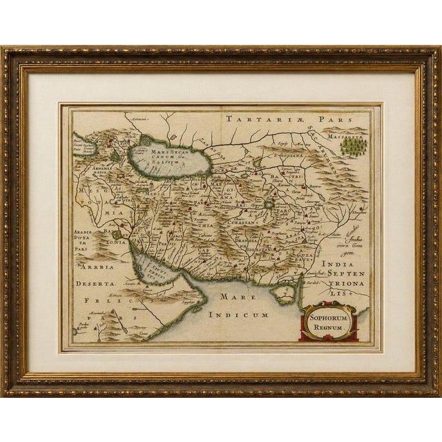
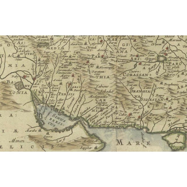
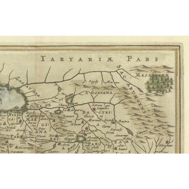
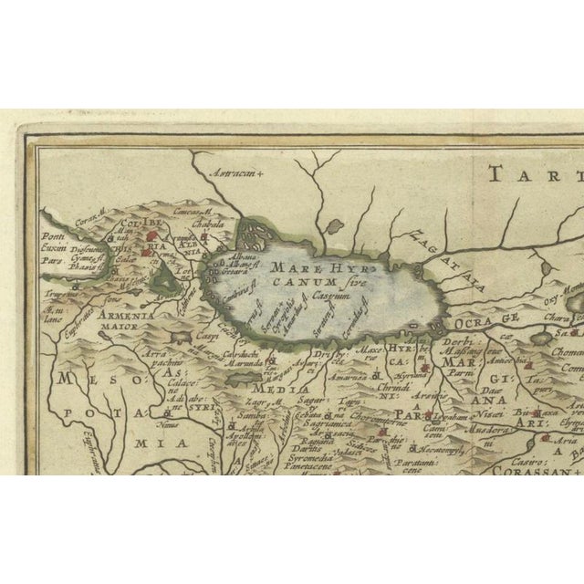
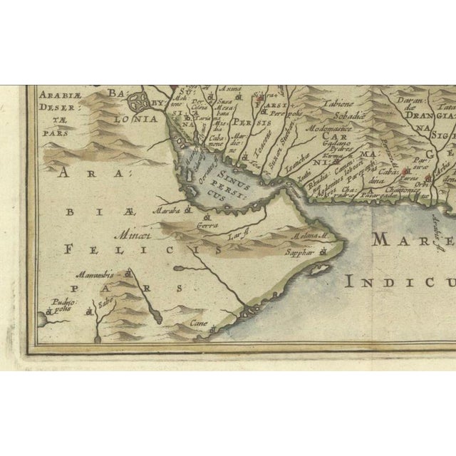
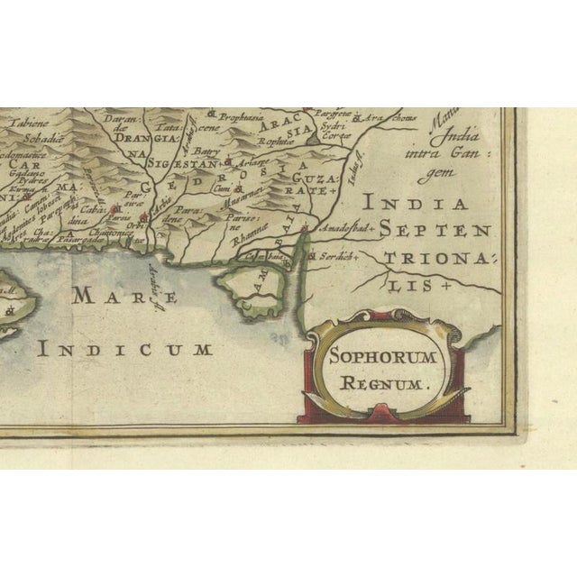
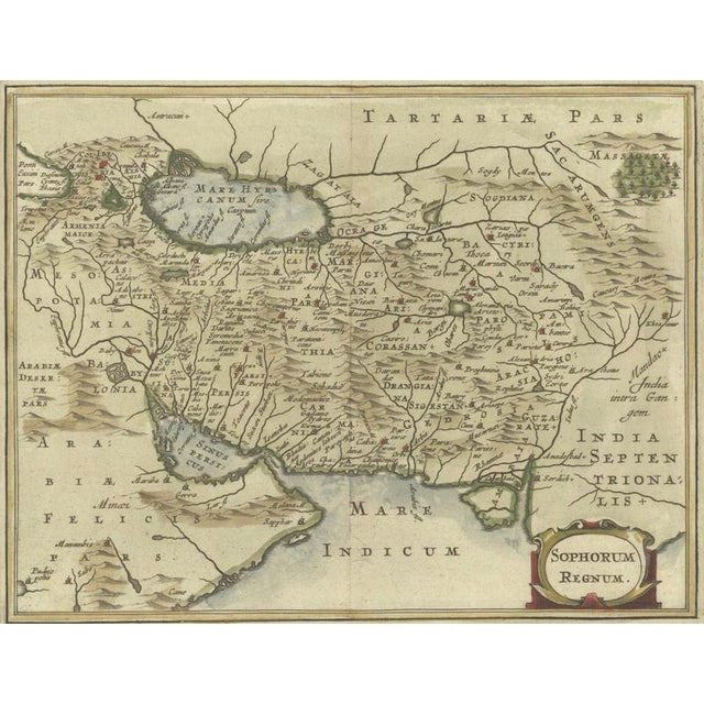
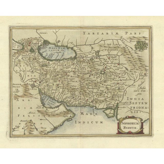
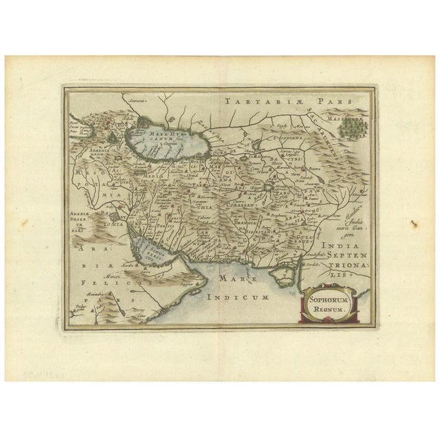
Antique map of middle east and the safavid empire by cluver and jansson, 1676 description: original antique map of middle … Read more Antique map of middle east and the safavid empire by cluver and jansson, 1676 description: original antique map of middle east, titled “sophorum regnum,” published in amsterdam in 1676 in philipp cluver’s introductionis in universam geographiam. This charming small-format map depicts the safavid middle eastern empire and the surrounding regions, extending from the caucasus and caspian sea southward to the gulf and east toward northern india. Parts of mesopotamia and the arabian peninsula are also shown. Despite its compact size, the map contains an impressive amount of geographical detail, with numerous towns, villages, rivers, mountain ranges and regional names carefully engraved throughout. The caspian sea appears in its characteristic early cartographic form as a broad horizontal oval. A decorative strapwork cartouche in the lower right contains the title “sophorum regnum.” the surviving hand coloring enhances the coastlines, boundaries and cartouche while retaining the elegant appearance of the engraved sheet. Cluver’s introductio in universam geographicam became one of the most influential geographical works of the 17th century and appeared in numerous editions across europe. This map comes from the amsterdam edition published by the heirs of johannes janssonius, incorporating maps derived from the jansson and cloppenburgh traditions of the atlas minor. A highly attractive small antique map of middle east and the safavid empire, particularly suitable for collectors of iran, middle eastern history and 17th-century cartography. Creator philipp cluver / johannes janssonius publisher heirs of johannes janssonius, amsterdam date 1676 source introductionis in universam geographiam medium copper engraving with hand color on laid paper. Dimensions approximately 7.5 × 5.9 inches (19.1 × 15 cm). Condition very good antique condition. Dark, strong impression on a bright sheet. Minor toning along the sheet edges and a couple of small stains in the blank margins. Please examine the photographs carefully for condition. Style: baroque / dutch golden age cartography subject: safavid empire; caspian sea; mesopotamia; arabia; india; middle east. Notes: an original antique map published in 1676, not a modern reproduction. Sold unframed. See less
- Dimensions
- 7.48ʺW × 5.91ʺH
- Styles
- Baroque
- Period
- 17th Century
- Country of Origin
- Netherlands
- Item Type
- Vintage, Antique or Pre-owned
- Materials
- Paper
- Condition
- Good Condition, Unknown, Some Imperfections
- Color
- Copper
- Condition Notes
- Very Good — This vintage item has no defects, but it may show slight traces of use\. Wear consistent with … moreVery Good — This vintage item has no defects, but it may show slight traces of use\. Wear consistent with age and use, Very good antique condition, Dark, strong impression on a bright sheet, Minor toning along the sheet edges and a couple of small stains in the blank margins, Please examine the photographs carefully for condition less
Returns & Cancellations
Return Policy - All sales are final 48 hours after delivery, unless otherwise specified in the description of the product.
Cancellation Policy - Prior to shipping or local pickup, buyers may cancel an order for up to 48 hours, unless otherwise specified.