



Details
Description
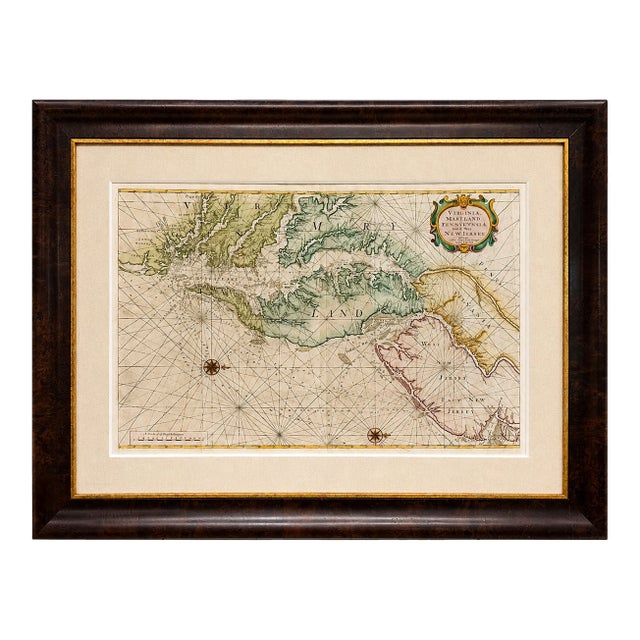
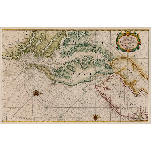
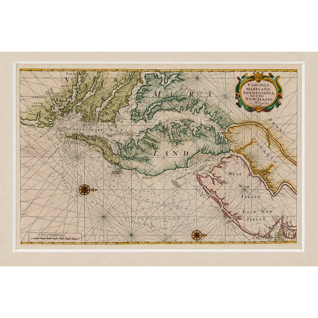
Rare and significant original 1773 English sea chart of the Chesapeake and Delaware Bay region, published by Mount & Page …
Read more
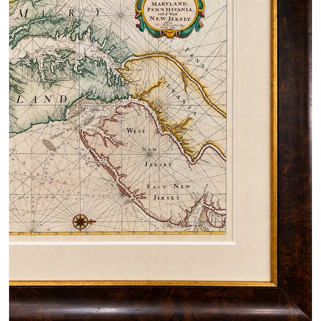
Rare and significant original 1773 English sea chart of the Chesapeake and Delaware Bay region, published by Mount & Page after John Thornton and based ultimately upon the pioneering cartography of Augustine Hermann. This is the second state of the Mount Page edition, published in the influential English Pilot, Fourth Book—the most widely distributed 18th-century English sea atlas devoted to American waters.
Charts of this design were among the principal navigational references for the Chesapeake and Mid-Atlantic during the American Revolutionary era. Its cartographic lineage extends back to Hermann’s landmark 1673 map, which transformed European understanding of the Chesapeake and became the foundation for numerous subsequent maps of Maryland and Virginia.
Thornton and William Fisher first published this chart in 1689, with successive revisions keeping it in practical use for nearly a century. Mount & Page incorporated their edition into the English Pilot, making this one of the enduring navigational representations of the Chesapeake before and during the American Revolution.
In excellent condition, original fold marks visible. Custom conservation framing in a rich wood-and-gold frame, with a double linen mat and UV-resistant glass. Dimensions: 45" W × 33" H
See less
- Dimensions
- 45ʺW × 1.5ʺD × 33ʺH
- Frame Type
- Framed
- Period
- Late 18th Century
- Country of Origin
- United States
- Item Type
- Vintage, Antique or Pre-owned
- Materials
- Engraving
- Glass
- Wood
- Condition
- Good Condition, Original Condition Unaltered, Some Imperfections
- Color
- Linen
- Condition Notes
- In excellent condition, original fold marks visible. Newly framed, conservation style. In excellent condition, original fold marks visible. Newly framed, conservation style. less
Questions about the item?
Returns & Cancellations
Return Policy - All sales are final 48 hours after delivery, unless otherwise specified in the description of the product.
Cancellation Policy - Prior to shipping or local pickup, buyers may cancel an order for up to 48 hours, unless otherwise specified.