

Details
Description
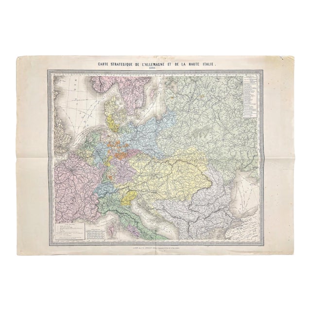
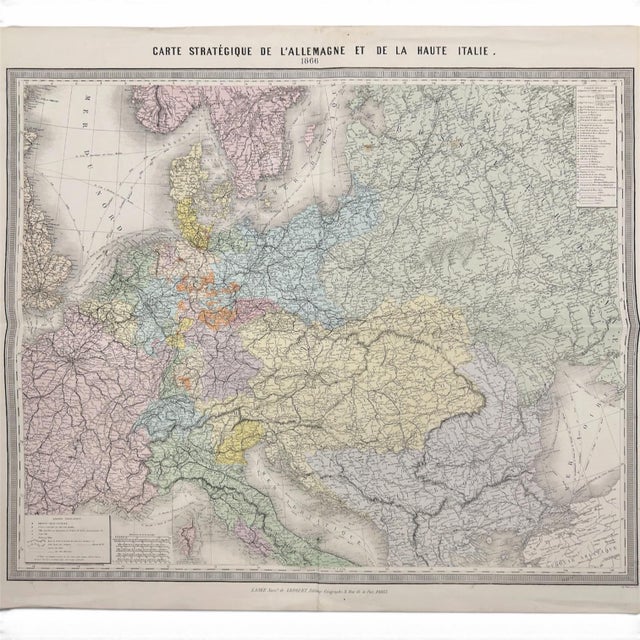
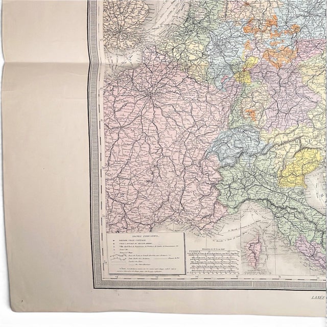
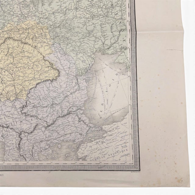
This original 1866 French strategic map charts Germany, Upper Italy, and much of Central Europe at an unusually large scale, …
Read more
This original 1866 French strategic map charts Germany, Upper Italy, and much of Central Europe at an unusually large scale, with period hand coloring distinguishing the political territories across the sheet. Published in Paris by Lanée, successor to Longuet, the folding map measures approximately 34 × 30 inches and survives with its broad margins, original folds, period paper markings, and manuscript identification on the reverse.
____________________
DETAILS
- Date || 1866
- Printed Title || Carte Stratégique de l’Allemagne et de la Haute Italie
- Publisher || Lanée, successor to Longuet, Éditeur-Géographe, 8 Rue de la Paix, Paris
- Printer || Monrocq, Paris
- Medium || Original hand-colored lithographic folding map
- Size || Approx. 34 × 30 in. / 86 × 77 cm
- Markings || Breton Frères watermark; period manuscript title and date on reverse
____________________
ABOUT THE WORK
Published in 1866, this map belongs to a particularly consequential moment in the remaking of nineteenth-century Europe. That year brought the Austro-Prussian War, also known as the Seven Weeks’ War, and the Third Italian War of Independence. Prussia’s victory over Austria altered the political balance among the German states, while Italy’s alliance with Prussia helped bring Venetia into the Kingdom of Italy.
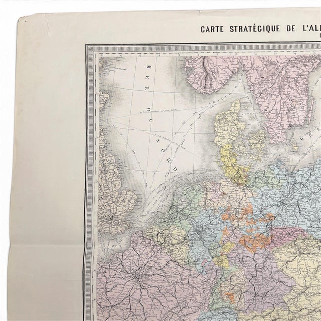
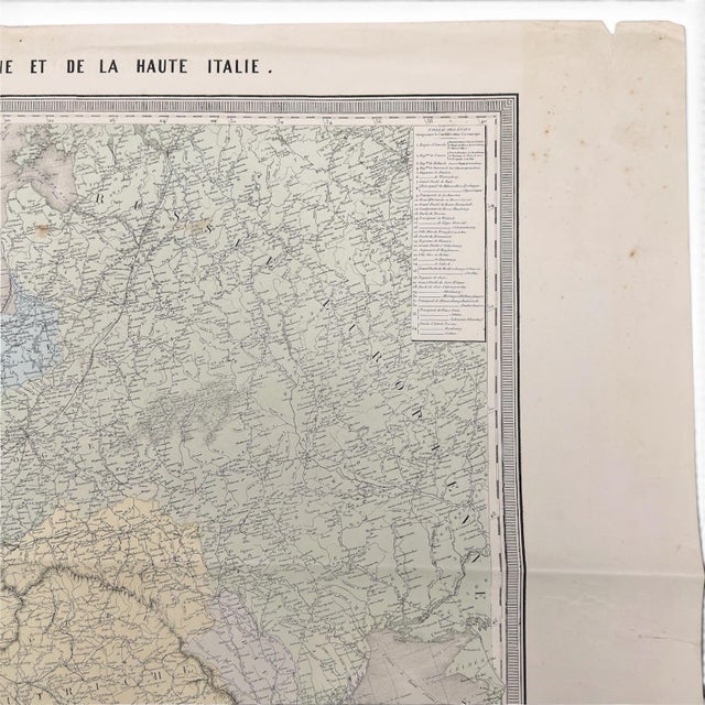
The map’s own title, Carte Stratégique de l’Allemagne et de la Haute Italie, makes its purpose unusually explicit. Rather than presenting Germany and Italy as isolated national subjects, it treats a broad sweep of Central Europe as one interconnected strategic geography. Political boundaries sit alongside cities, roads, railways, waterways, relief, and other routes of movement. In 1866, those relationships were anything but abstract.
Lanée published the map in Paris as successor to Longuet, Éditeur-Géographe, from 8 Rue de la Paix, with printing by Monrocq. Its large folding format separates it from the smaller atlas maps more commonly encountered from the period. It was made to hold a great deal of geographic information on a single working sheet while still being capable of folding for storage or consultation.
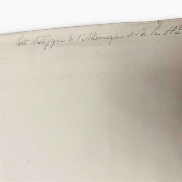
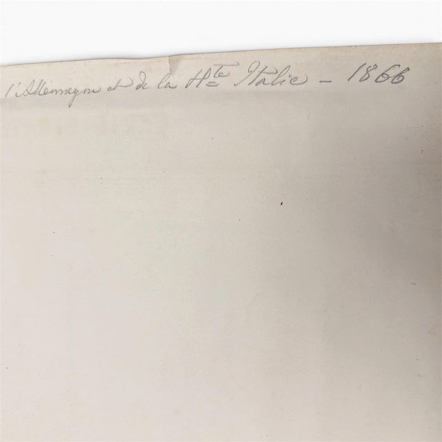
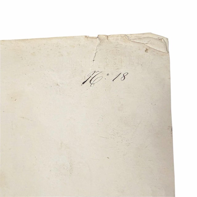
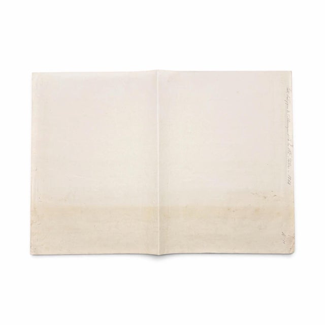
The surviving paper also preserves details of its nineteenth-century life beyond the printed image. A Breton Frères watermark is visible when the sheet is held to light, while the reverse carries an old handwritten identification repeating the strategic title and the date 1866, along with a separate manuscript “No. 18.” These markings have been left intact as part of the map’s physical history.
See less
- Dimensions
- 34ʺW × 0.1ʺD × 30ʺH
- Frame Type
- Unframed
- Period
- 19th Century
- Country of Origin
- France
- Item Type
- Vintage, Antique or Pre-owned
- Materials
- Paper
- Condition
- Good Condition, Original Condition Unaltered, Some Imperfections
- Color
- White
- Condition Notes
- Very good antique condition. The sheet retains its original fold lines and shows light age-related toning, scattered foxing and spotting, … moreVery good antique condition. The sheet retains its original fold lines and shows light age-related toning, scattered foxing and spotting, handling wear, and several short edge tears and small corner losses primarily confined to the wide blank margins. The printed map remains complete, in highly legible, and visually strong, with attractive period hand coloring throughout. Please review all photographs carefully, as they form part of the condition description. less
Questions about the item?
Returns & Cancellations
Return Policy - All sales are final 48 hours after delivery, unless otherwise specified in the description of the product.
Cancellation Policy - Prior to shipping or local pickup, buyers may cancel an order for up to 48 hours, unless otherwise specified.