



Details
Description
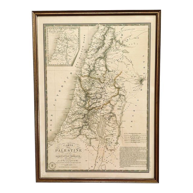
Original 1828 antique map titled "Carte de la Palestine sous la domination romaine" (Map of Palestine under Roman Domination) by …
Read more
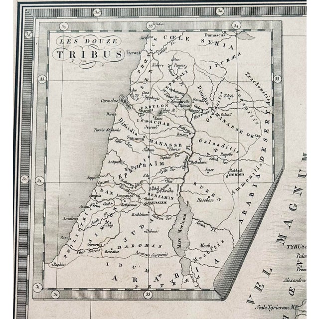
Original 1828 antique map titled "Carte de la Palestine sous la domination romaine" (Map of Palestine under Roman Domination) by Adrien-Hubert Brué, the Geographer to the King. The map features a distinctive inset map in the top left corner showing the "Twelve Tribes" of the region. It was produced in Paris in 1828 and features detailed cartography based on astronomical observations and recent voyages from that period.It was published by C. Piquet, located near the Pont des Arts in Paris and topographical details like rivers, mountains, and towns based on historical surveys. The map shows relief through hachuring and was originally hand-colored to differentiate regions.
The text describes the cartographic sources used, specifically citing astronomical observations by M. Gauthier for coastal positions and works by travelers like Burckhardt and Seetzen for the interior.
See less
- Dimensions
- 17ʺW × 0.75ʺD × 23ʺH
- Styles
- French
- Illustration
- Frame Type
- Framed
- Period
- Early 19th Century
- Country of Origin
- France
- Item Type
- Vintage, Antique or Pre-owned
- Materials
- Printmaking Materials
- Condition
- Good Condition, Original Condition Unaltered, Some Imperfections
- Color
- Vanilla
- Condition Notes
- Not examined outside frame Not examined outside frame less
Questions about the item?
Returns & Cancellations
Return Policy - All sales are final 48 hours after delivery, unless otherwise specified in the description of the product.
Cancellation Policy - Prior to shipping or local pickup, buyers may cancel an order for up to 48 hours, unless otherwise specified.