


Details
Description
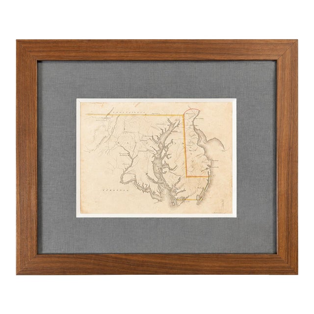
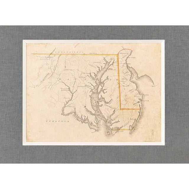
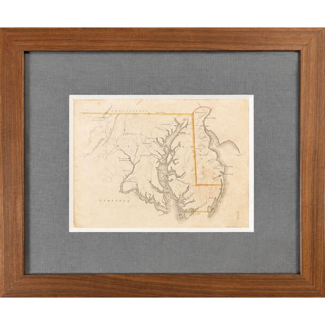
An original hand-colored steel engraving of Maryland and Delaware, drawn by Luke Drury and published in 1822 in the rare …
Read more
An original hand-colored steel engraving of Maryland and Delaware, drawn by Luke Drury and published in 1822 in the rare educational atlas. A Geography for Schools, upon a Plan Entirely New (Plate VIII).
This finely engraved map emphasizes the Chesapeake Bay watershed, major rivers, mountains, and early settlements. Original hand coloring highlights the political boundaries of the period, including the Mason-Dixon Line separating Maryland and Pennsylvania, as well as the distinctive borders of Delaware.
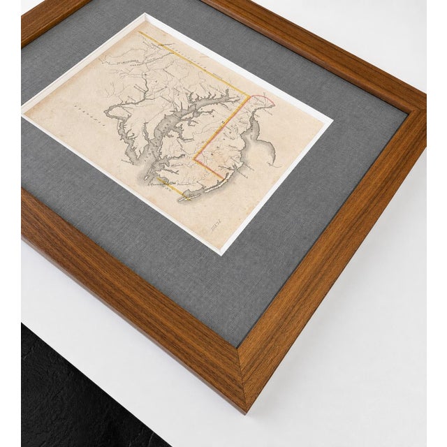
Professionally conservation-framed in a warm walnut moulding with a textured gray linen mat and museum-style spacers, this scarce early American map is ready to display.
Very good condition. Dimensions: 17.25" × 15"
See less
- Dimensions
- 17.25ʺW × 1ʺD × 15ʺH
- Frame Type
- Framed
- Period
- Early 19th Century
- Country of Origin
- United States
- Item Type
- Vintage, Antique or Pre-owned
- Materials
- Engraving
- Glass
- Wood
- Condition
- Good Condition, Original Condition Unaltered, Some Imperfections
- Color
- Cream
- Condition Notes
- Very good condition, newly framed Very good condition, newly framed less
Questions about the item?
Returns & Cancellations
Return Policy - All sales are final 48 hours after delivery, unless otherwise specified in the description of the product.
Cancellation Policy - Prior to shipping or local pickup, buyers may cancel an order for up to 48 hours, unless otherwise specified.