

Details
Description
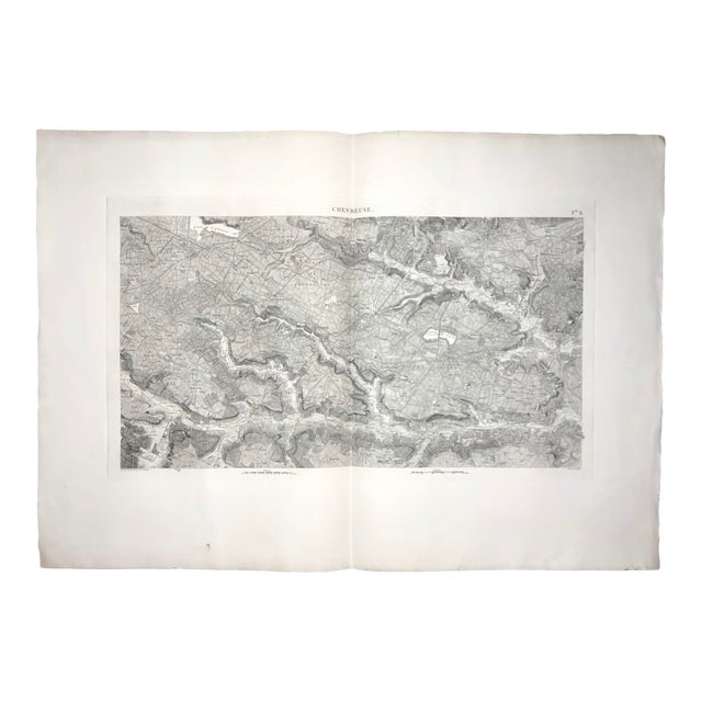
An extraordinary oversized 1807 French topographical map of Chevreuse, from the celebrated Carte topographique des environs de Versailles, dite des …
Read more
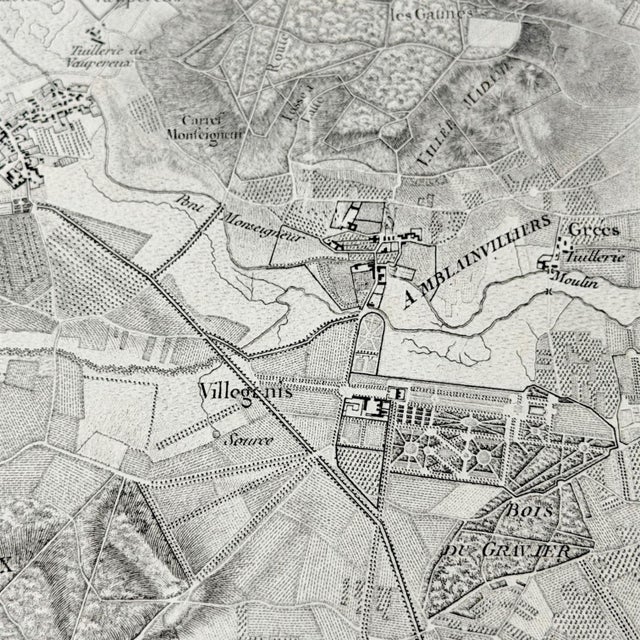
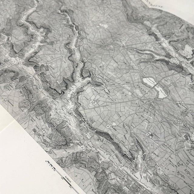
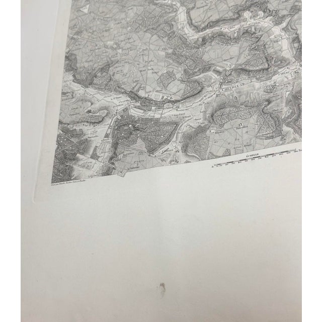
An extraordinary oversized 1807 French topographical map of Chevreuse, from the celebrated Carte topographique des environs de Versailles, dite des Chasses impériales, a monumental mapping project of the Versailles region and its historic hunting grounds.
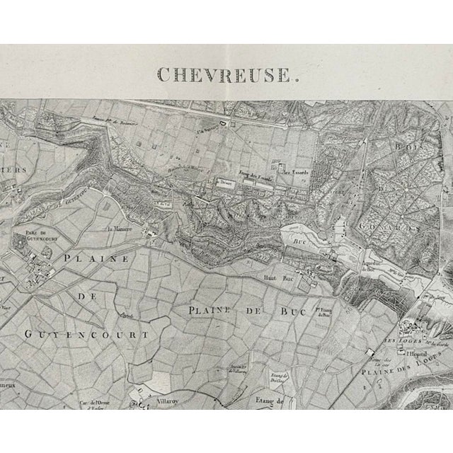
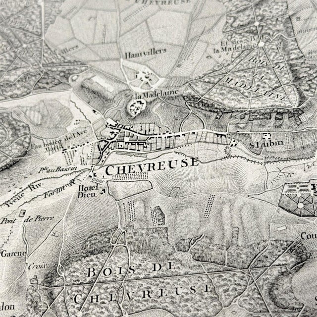
Originally commissioned under Louis XV in 1764, the project continued through one of the most turbulent periods in French history, pausing during the Revolution and later reaching completion under Napoleon’s rule in 1807. This sheet captures the Chevreuse landscape with remarkable precision: roads, waterways, villages, fields, meadows, parks, barns, terrain, forests, and land-use details are all woven into a dense and beautiful cartographic record.
The result is both scholarly and atmospheric. It has the quiet drama of Napoleonic-era French cartography, where geography, power, landscape management, and royal leisure converge on paper. The soft monochrome engraving gives it a refined architectural quality, making it especially strong for a library, study, office, collected map wall, French country interior, or large-scale gallery installation.
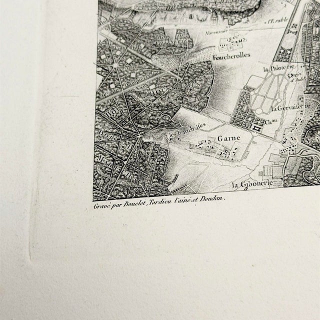
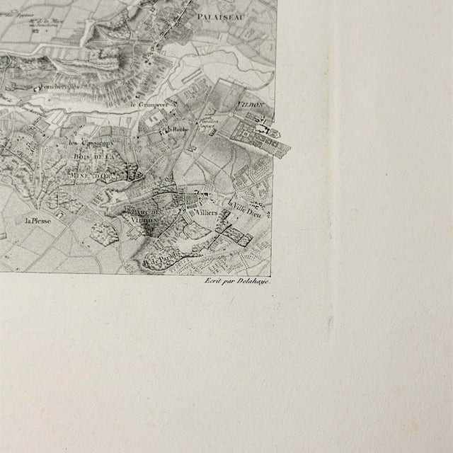
Published in Paris by the Dépôt général de la Guerre and catalogued with Jean-Baptiste Berthier and J.B. Tardieu, this sheet belongs to one of the great cartographic records of the Versailles environs. The plate itself credits Bouclet, Tardieu l’aîné, and Doudan as engravers, with lettering by Delahaye.
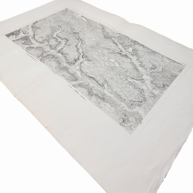
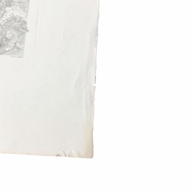
This is a particularly fine example. The paper is notably clean for age, the engraved image is crisp and highly legible, and the platemark remains clearly visible. The map is surrounded by unusually generous original margins, with approximately 5.5 to 7 inches between the printed image and the outer sheet edges. That margin structure gives the piece a grand archival presence as a loose object and leaves excellent flexibility for custom matting or framing by the buyer or designer.
Sold loose and unframed due to its oversized format. This is an original antique map, not a modern reproduction.
See less
- Dimensions
- 41ʺW × 0.1ʺD × 28.5ʺH
- Frame Type
- Unframed
- Period
- Early 19th Century
- Country of Origin
- France
- Item Type
- Vintage, Antique or Pre-owned
- Materials
- Paper
- Printmaking Materials
- Condition
- Good Condition, Original Condition Unaltered, Some Imperfections
- Color
- White
- Condition Notes
- Excellent antique condition for a large loose 1807 map sheet. The engraved map image is crisp, clean, complete, and highly … moreExcellent antique condition for a large loose 1807 map sheet. The engraved map image is crisp, clean, complete, and highly legible, with a strong visible platemark and exceptionally generous original margins. The surrounding paper is notably clean, with only light expected toning and handling evidence. There is one small blemish in the lower left margin, along with a few small edge tears under 1 inch along the outer sheet edges. These are well outside the printed map and platemark, with ample room for matting or framing. Original fold lines are visible, as expected for a large-format sheet of this type. No major losses, heavy staining, or distracting foxing visible. less
Questions about the item?
Returns & Cancellations
Return Policy - All sales are final 48 hours after delivery, unless otherwise specified in the description of the product.
Cancellation Policy - Prior to shipping or local pickup, buyers may cancel an order for up to 48 hours, unless otherwise specified.