

Details
Description
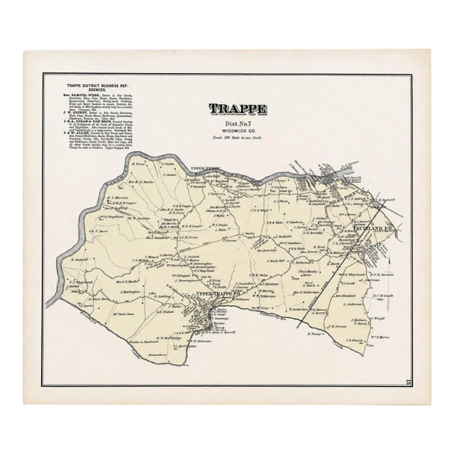
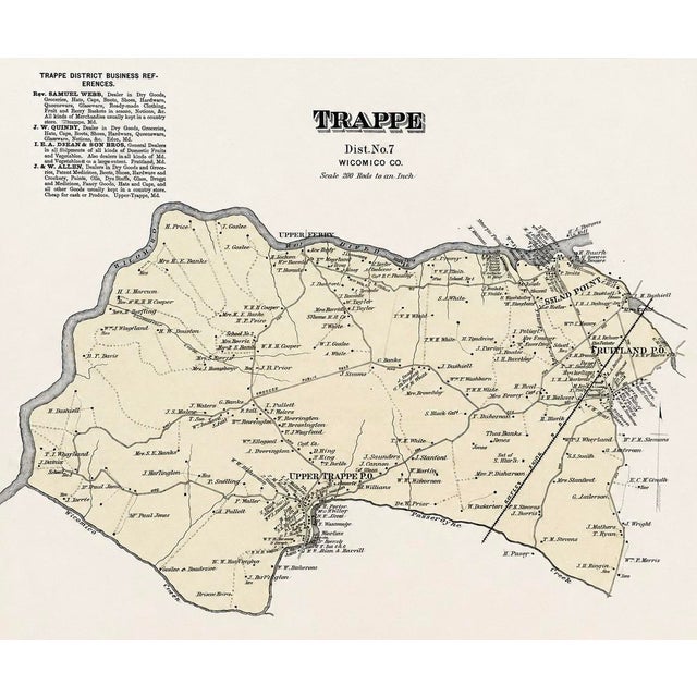
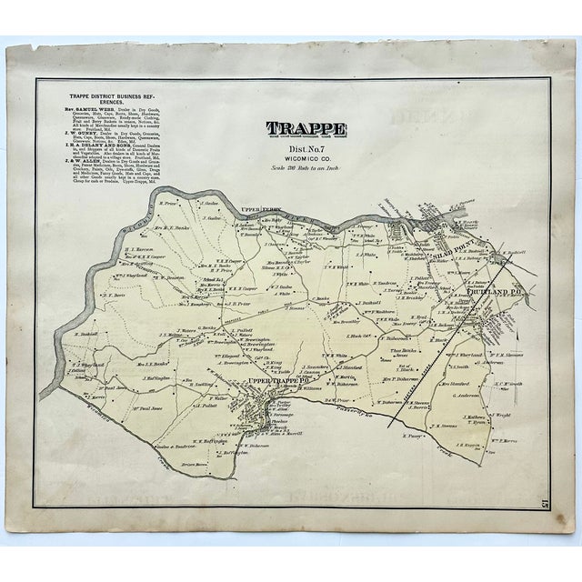
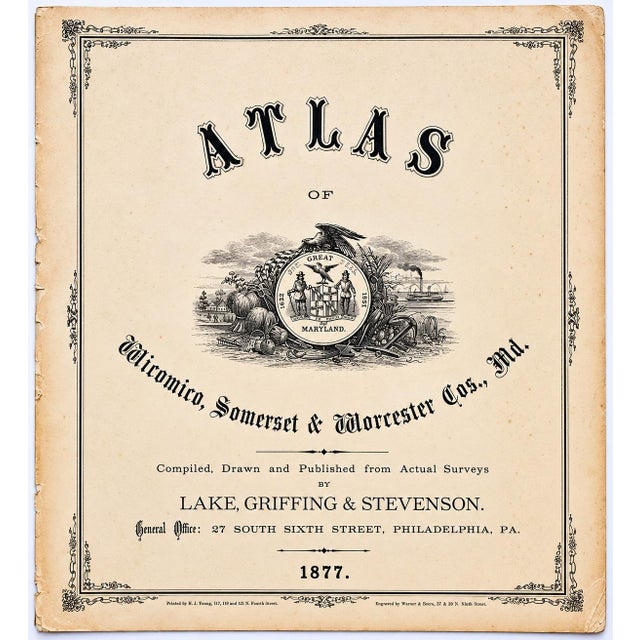
Original engraving showing the area bounded by the Wicomico River, including Upper Ferry, Shad Point, and Fruitland. From the Atlas …
Read more
Original engraving showing the area bounded by the Wicomico River, including Upper Ferry, Shad Point, and Fruitland. From the Atlas of Wicomico, Somerset Worcester Counties, Maryland, published by Lake, Griffing & Stevenson in Philadelphia, 1877.
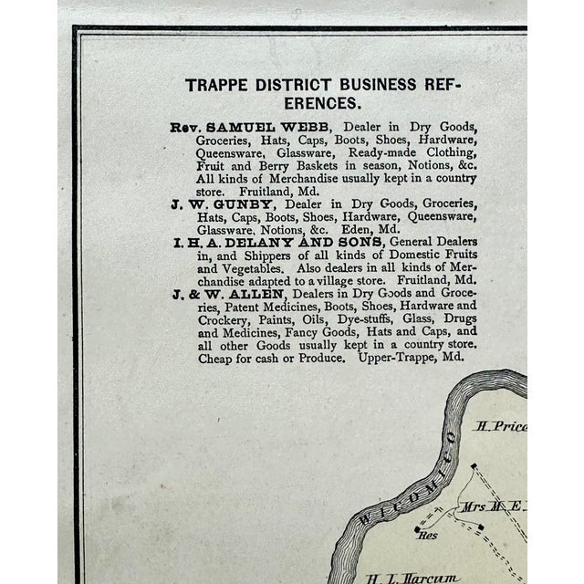
The map includes an upper-left business directory with period merchants and tradesmen, adding wonderful social and historical context. Highlights names including Rev. Samuel Webb, J.W. Gunby, I.H.A. Delany & Sons, and J. & W. Allen, offering a fascinating glimpse into daily life and commerce in rural Maryland
In great condition. Dimensions: 18" x 14"
Please note: If you purchase multiple items, we’ll gladly combine shipping—just send us a message. Our goal is to ensure a fast and seamless shopping experience!
See less
- Dimensions
- 18ʺW × 1ʺD × 14ʺH
- Styles
- Traditional
- Frame Type
- Unframed
- Period
- Late 19th Century
- Country of Origin
- United States
- Item Type
- Vintage, Antique or Pre-owned
- Materials
- Engraving
- Condition
- Good Condition, Original Condition Unaltered, Some Imperfections
- Color
- Antique White
- Condition Notes
- Very good condition Very good condition less
Questions about the item?
Returns & Cancellations
Return Policy - All sales are final 48 hours after delivery, unless otherwise specified in the description of the product.
Cancellation Policy - Prior to shipping or local pickup, buyers may cancel an order for up to 48 hours, unless otherwise specified.