

Details
Description
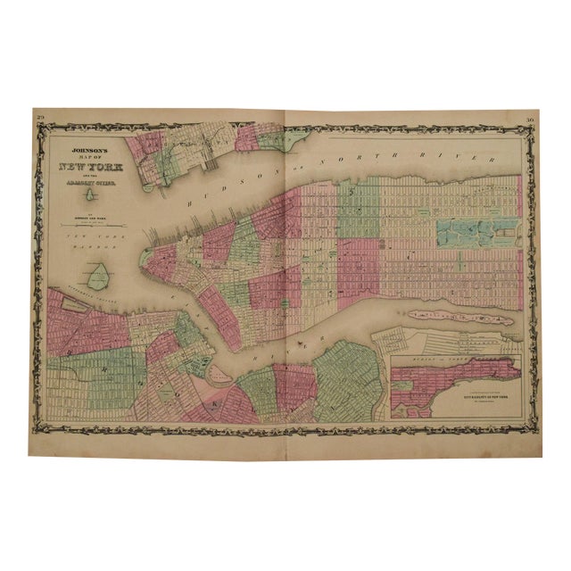
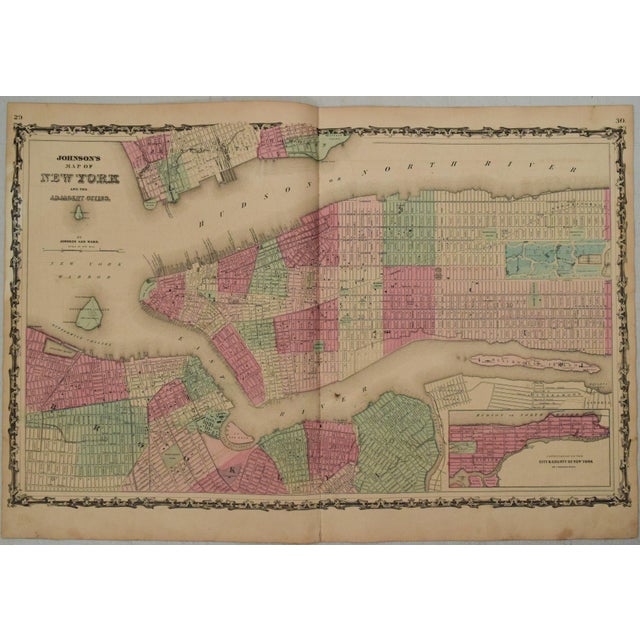
This is a superb, double-page map of Manhattan and Brooklyn with color coded wards shown. Title: Johnson's New York and … Read more This is a superb, double-page map of Manhattan and Brooklyn with color coded wards shown. Title: Johnson's New York and Adjacent Cities. Cartographer: Johnson. Issued in 1863 in New Yor. Streets, ferries, piers, key buildings, railroad lines, parks, etc are identified. There were no bridges to Manhattan yet. Inset is upper Manhattan. See less
- Dimensions
- 25.5ʺW × 0.1ʺD × 15.8ʺH
- Styles
- Traditional
- Frame Type
- Unframed
- Period
- Mid 19th Century
- Country of Origin
- United States
- Item Type
- Vintage, Antique or Pre-owned
- Materials
- Paper
- Condition
- Good Condition, Original Condition Unaltered, Some Imperfections
- Color
- White
- Condition Notes
- Very Good. Finger soiling. Split closed on verso. Issued centerfold. Hand Colored. Very Good. Finger soiling. Split closed on verso. Issued centerfold. Hand Colored. less
Questions about the item?
Returns & Cancellations
Return Policy - All sales are final 48 hours after delivery, unless otherwise specified in the description of the product.
Cancellation Policy - Prior to shipping or local pickup, buyers may cancel an order for up to 48 hours, unless otherwise specified.