

Details
Description
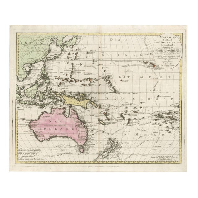
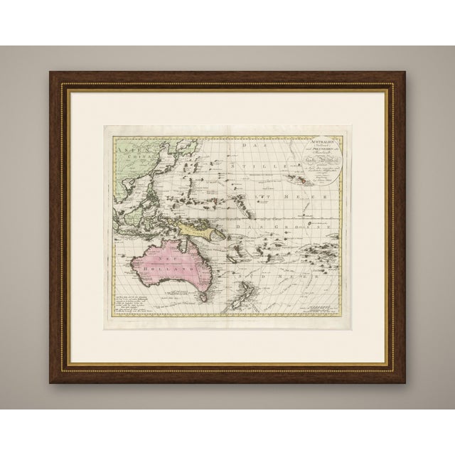
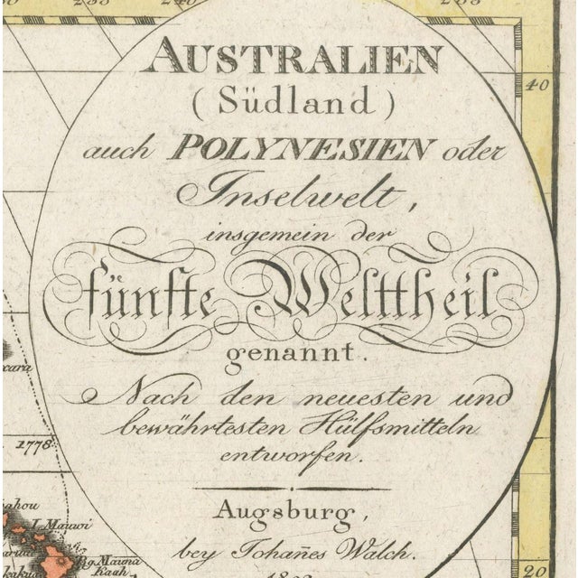
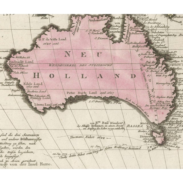
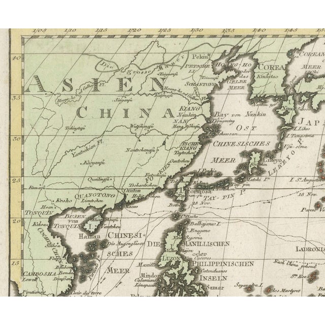
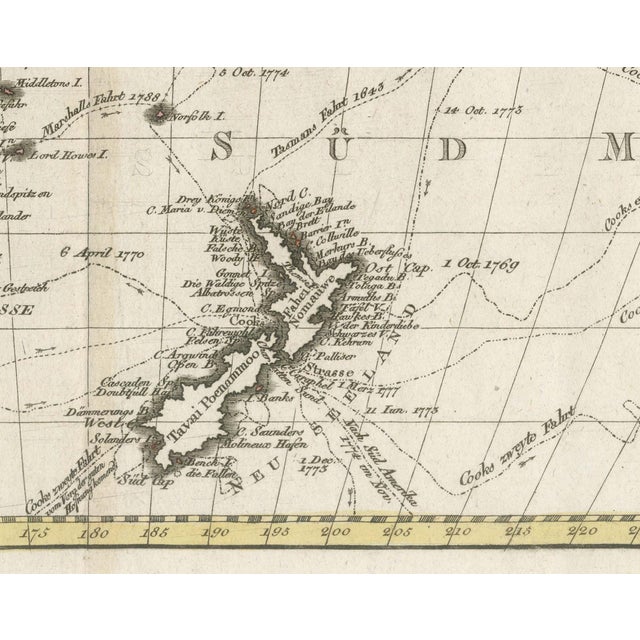
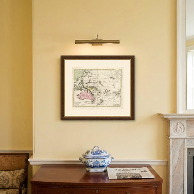
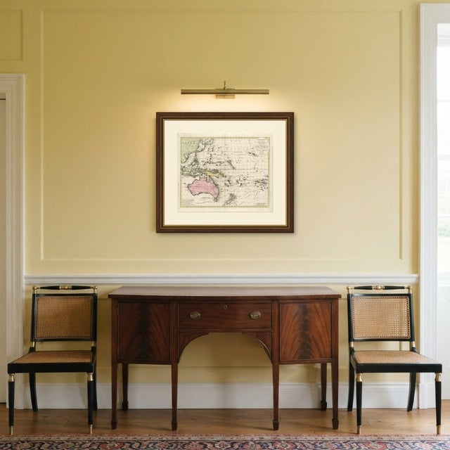
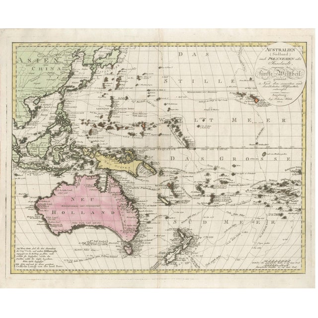
An original antique copper engraved map with original hand color, published at Augsburg in 1802. The oval cartouche at the … Read more An original antique copper engraved map with original hand color, published at Augsburg in 1802. The oval cartouche at the upper right is lettered "AUSTRALIEN (Südland) auch POLYNESIEN oder Inselwelt, insgemein der fünfte Welttheil genannt. Nach den neuesten und bewährtesten Hülfsmitteln entworfen", that is, Australia (the South Land), also called Polynesia or the island world, commonly named the fifth part of the world, drawn from the newest and most reliable sources. The map covers the western Pacific from China, Japan and the Philippines to the Marquesas, with New Holland washed in pink, New Guinea in yellow and the Asian lands in green; a note at the lower left explains that green is still counted as part of Asia. The Pacific is named in large spaced capitals north and south of the equator. A note at the lower left states that the three voyages of Captain Cook and of other circumnavigators are shown, with small arrows added to the dotted tracks to give the direction of sailing, and many tracks carry dates and names such as "Tasmans Fahrt 1642" below Van Diemen's Land. Along the south coast of New Holland the words "Noch nie befahrene Küste" mark a coast never yet sailed. Bass Strait is lettered "Basses Strasse", with a note that it was discovered in a boat at the beginning of 1799 by Mr Bass, surgeon of the ship Reliance. In the Hawaiian group, lettered "Sandwichs Inseln", the island of "Owaihi" carries a note that Captain Cook was killed there by the inhabitants on 14 February 1779. Longitude is counted east from the island of Ferro. The cartouche ends with the imprint "Augsburg, bey Johañes Walch. 1802." There is no separate engraver's credit and no plate number. The map was drawn and published by Johannes Walch at Augsburg. Captain James Cook made three voyages into the Pacific and was killed on Hawaii in February 1779, during the third. Light uneven toning, browner towards the edges. Handling soiling along the bottom edge. Foxing over much of the margin. Slight wear at the bottom right corner. Folding line as issued. This is an original antique map, not a modern reproduction. This item is sold unframed. Any framed or interior images are shown for presentation and inspiration only, unless the listing explicitly states that the item is sold framed. See less
- Dimensions
- 25.2ʺW × 21.26ʺH
- Period
- 19th Century
- Country of Origin
- Germany
- Item Type
- Vintage, Antique or Pre-owned
- Materials
- Paper
- Condition
- Good Condition, Unknown, Some Imperfections
- Color
- Copper
- Condition Notes
- Very Good — This vintage item has no defects, but it may show slight traces of use\. Light uneven toning, … moreVery Good — This vintage item has no defects, but it may show slight traces of use\. Light uneven toning, browner towards the edges. Handling soiling along the bottom edge. Foxing over much of the margin. Slight wear at the bottom right corner. Folding line as issued. less
Returns & Cancellations
Return Policy - All sales are final 48 hours after delivery, unless otherwise specified in the description of the product.
Cancellation Policy - Prior to shipping or local pickup, buyers may cancel an order for up to 48 hours, unless otherwise specified.