

Details
Description
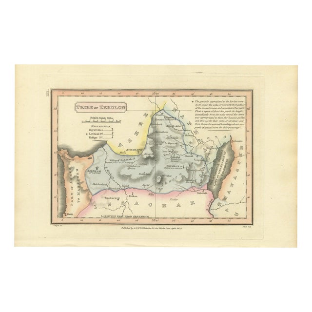
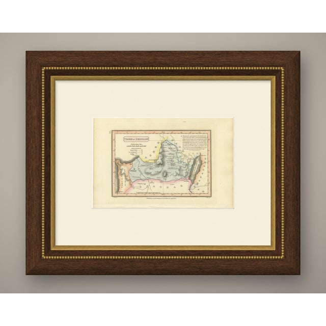
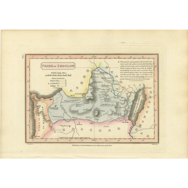
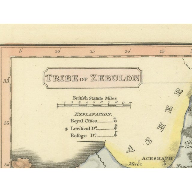
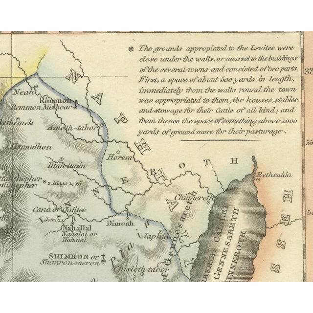
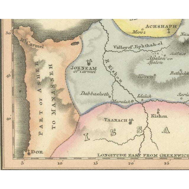
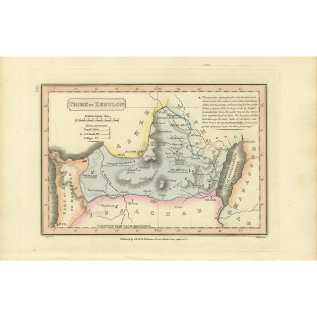
This is an original antique copper engraved map with original hand coloring, published in 1823 as plate xii of james … Read more This is an original antique copper engraved map with original hand coloring, published in 1823 as plate xii of james wyld's geographia sacra, or scripture atlas. The title, engraved in a panel at the upper left, reads "tribe of zebulon". The spelling zebulon is as engraved. The map is laid out in landscape format. Zebulun is washed in blue across the hills of galilee, from jokneam of carmel and the river kishon on the west to the sea of tiberias, galilee, lake of gennesareth or cinneroth on the right. Nazareth, cana of galilee, gath hepher and mount tabor are lettered across the territory, with asher washed in yellow to the north, issachar in pink to the south, and a part of asher to manasseh with mount carmel and dor on the coast at the left. Below the title are a scale of british statute miles and an explanation keying royal cities, levitical cities and cities of refuge. At the upper right a long engraved note on the levitical cities begins "the grounds appropiated to the levites, were close under the walls, or nearest to the buildings of the several towns". Under the lower left corner of the border is the credit "j. Wyld del.", under the lower right corner "g. Neele sculp.", and centered between them the imprint "published by g. & w. B. Whittaker, 13, ave maria lane, april, 1823." the plate number "xii." is engraved sideways in the left margin, beside the upper left corner of the border, so that it stands at the upper right when the sheet is turned to its upright position in the atlas. The sheet belongs to geographia sacra, or scripture atlas, issued in london in 1823 by g. And w. B. Whittaker. On the engraved title page of the atlas wyld is described as "of the quarter master general's office, horse guards". James wyld the elder (1790 to 1836) was a london geographer and map publisher. Even age toning. Marked handling soiling along the left, right and top edges. Scattered light foxing in the margin. All four corners are present. Several larger brown marks. This is an original antique map, not a modern reproduction. This item is sold unframed. Any framed or interior images are shown for presentation and inspiration only, unless the listing explicitly states that the item is sold framed. See less
- Dimensions
- 10.24ʺW × 6.69ʺH
- Period
- 19th Century
- Country of Origin
- United Kingdom
- Item Type
- Vintage, Antique or Pre-owned
- Materials
- Paper
- Condition
- Good Condition, Unknown, Some Imperfections
- Color
- Blue
- Condition Notes
- Very Good — This vintage item has no defects, but it may show slight traces of use\. Even age toning. … moreVery Good — This vintage item has no defects, but it may show slight traces of use\. Even age toning. Marked handling soiling along the left, right and top edges. Scattered light foxing in the margin. All four corners are present. Several larger brown marks. less
Returns & Cancellations
Return Policy - All sales are final 48 hours after delivery, unless otherwise specified in the description of the product.
Cancellation Policy - Prior to shipping or local pickup, buyers may cancel an order for up to 48 hours, unless otherwise specified.