


Details
Description
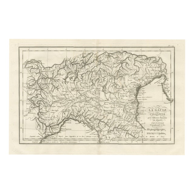
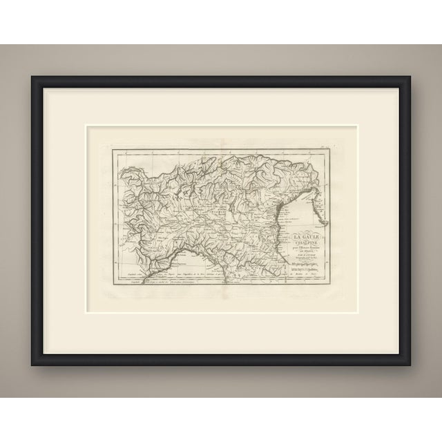
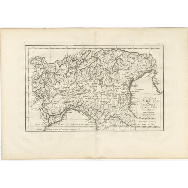
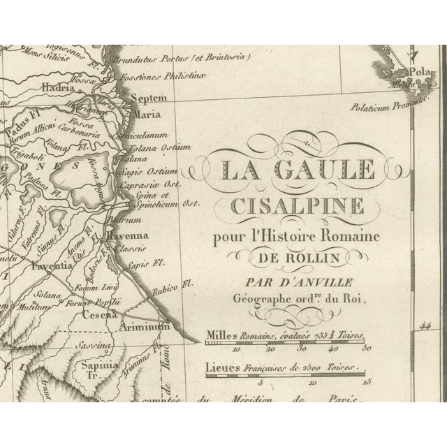
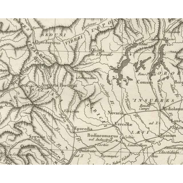
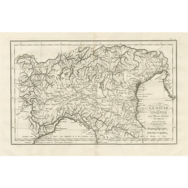
An original copper engraved map, uncoloured, of Cisalpine Gaul, the Po basin, and the arc of the Alps from the … Read more An original copper engraved map, uncoloured, of Cisalpine Gaul, the Po basin, and the arc of the Alps from the Lemanus Lacus at Geneva round to Histria. The Lepontii, Salassi, Insubres, Cenomani, Euganei, Carni, Boii, Lingones, Vagienni, Ingauni and Intemelii, with Venetia to the east. Mediolanum, Ticinum, Augusta Taurinorum, Placentia, Cremona, Bedriacum, Mantua, Verona, Patavium, Aquileia, Tergeste, Pola, Ravenna, Ariminum, Bononia and Genoa are located. and the Rubico Fl. Pisae, Luca and Florentia appear at the southern edge. The cartouche at right reads La Gaul / Cisalpine / for Roman History / by Rollin / by Anville / Geographer ord. we do Roi. The plate number Pl. 24 is engraved above the upper right corner of the neatline. Two scale bars below the cartouche read Roman Thousands, valued at 755 1⁄2 Toises and French Lieues of 2500 Toises. Two lines along the foot explain the longitude: Longitude according to the value of Degrees in the hypothesis of the Spherical Earth and which is computed from the Meridian of Paris and true Longitude, and which is concluded from Astronomical Observations. The plate belongs to the Atlas of Ancient Geography, published in Paris in 1818 by Ledoux and Tenré and printed by Didot the Younger to accompany the works of Charles Rollin (1661 to 1741). Its maps were engraved after the originals of Jean-Baptiste Bourguignon d'Anville (1697-1782). In the signed foreword Ambrose Tardieu, the geographer-engraver, states that the maps were copied with religious fidelity and that, charged with revising the proofs, he had only to correct negligence and faults of execution. Condition: Light uneven toning, browning towards the edges. Market action soiling along all four edges. Foxing over much of the margin. Light wear at the bottom left and bottom right corners. Minor edge wear, shallow nicks along the left and top. Center fold as issued. This is an original antique map, not a modern reproduction. This item is sold unframed. Any framed or interior images are shown for presentation and inspiration purposes only, unless the listing explicitly states that the item is sold framed. See less
- Dimensions
- 19.69ʺW × 13.78ʺH
- Period
- 19th Century
- Country of Origin
- France
- Item Type
- Vintage, Antique or Pre-owned
- Materials
- Paper
- Condition
- Good Condition, Unknown, Some Imperfections
- Color
- Copper
- Condition Notes
- Very Good — This vintage item has no defects, but it may show slight traces of use\. Uneven toning, browner … moreVery Good — This vintage item has no defects, but it may show slight traces of use\. Uneven toning, browner at the edges. Marked handling soiling along all four edges. Foxing in much of the margin. Slight wear at the bottom left and bottom right corners. Shallow nicks along the left and top. Center fold as issued. less
Returns & Cancellations
Return Policy - All sales are final 48 hours after delivery, unless otherwise specified in the description of the product.
Cancellation Policy - Prior to shipping or local pickup, buyers may cancel an order for up to 48 hours, unless otherwise specified.