


Details
Description
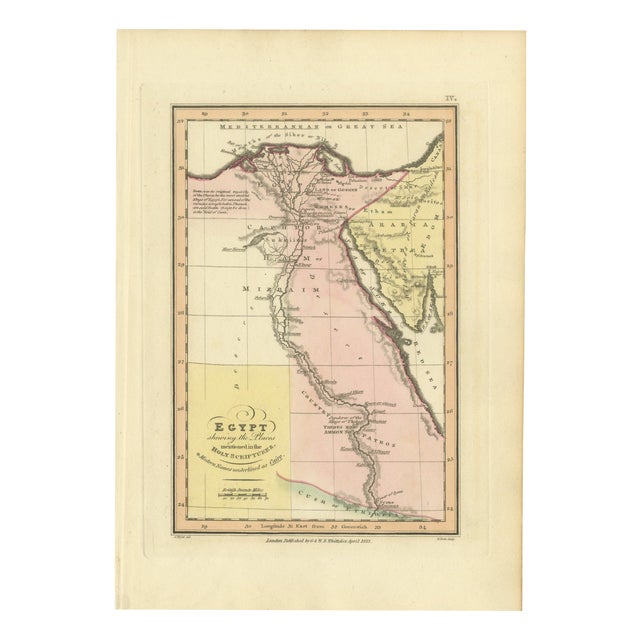
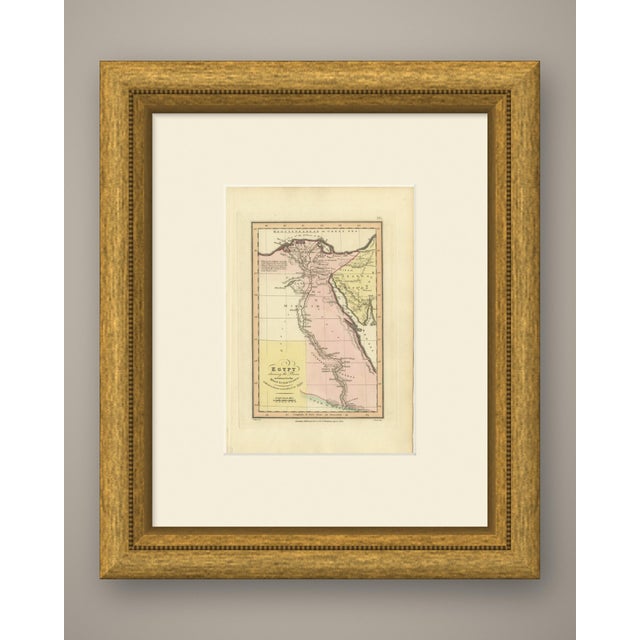
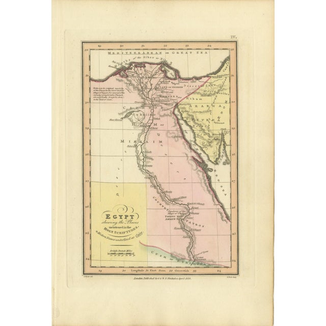
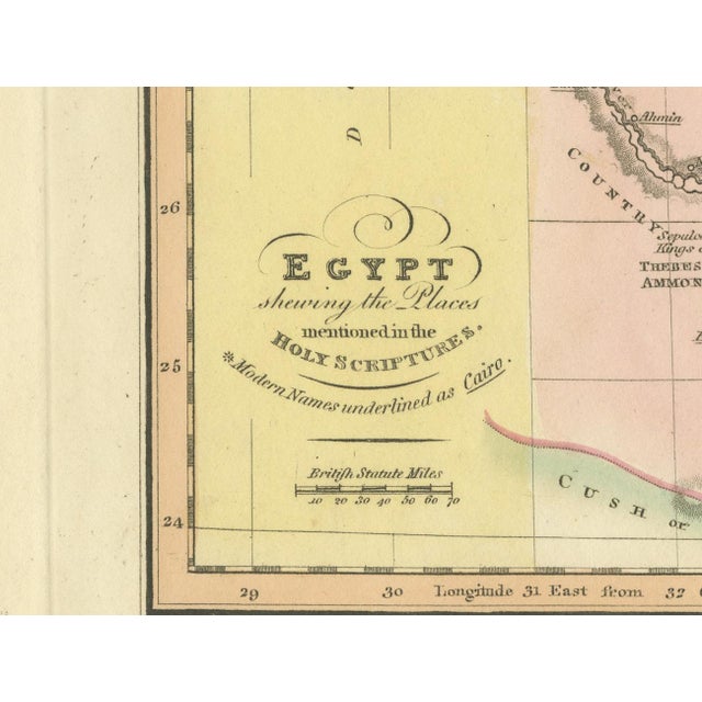
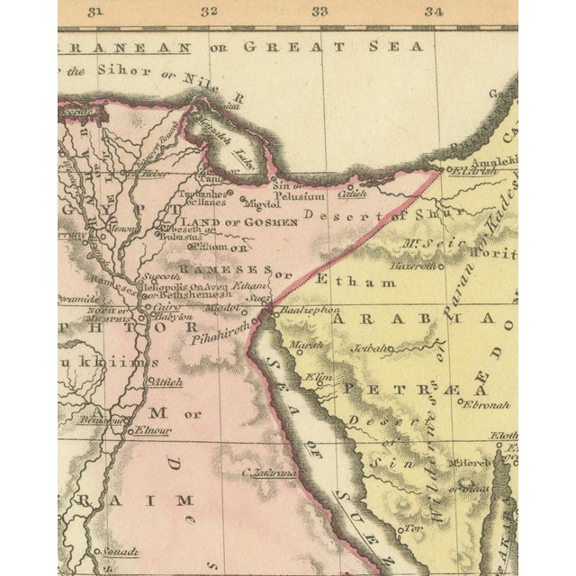
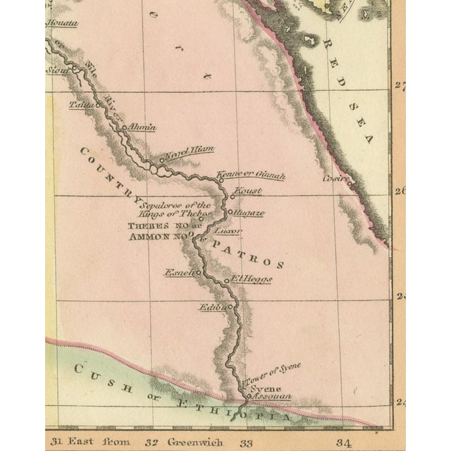
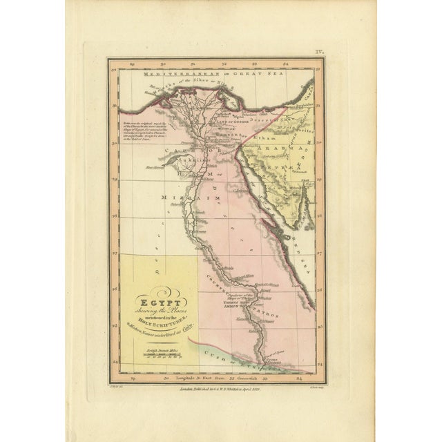
This is an original antique copper engraved map with original hand coloring, published in 1823 as plate iv of james … Read more This is an original antique copper engraved map with original hand coloring, published in 1823 as plate iv of james wyld's geographia sacra, or scripture atlas. The title, engraved in open and script letters at the lower left, reads "egypt shewing the places mentioned in the holy scriptures." a starred line beneath it reads "modern names underlined as cairo." the nile is drawn from syene and assouan at the foot of the sheet north to the mouths of the sihor or nile on the mediterranean, or great sea, with mizraim, pathros, the land of goshen, rameses and thebes, no or ammon, lettered along it. The red sea runs up the right side, and arabia petraea with the deserts of shur and sin fills the upper right. Places are underlined where a modern name is given, as the title explains. Egypt is washed in pink, arabia petraea in yellow and the land to the southwest in pale yellow, with cush or ethiopia along the lower edge. A note in the upper left begins "zoan, was the original royal city of the pharaohs, the most ancient kings of egypt." a scale of british statute miles is engraved below the title. Under the lower left corner of the border is the credit "j. Wyld del.", under the lower right corner "g. Neele sculp.", and centered between them the imprint "london published by g & w. B. Whittaker, april 1823." the plate number "iv." is engraved above the upper right corner of the border. The sheet belongs to geographia sacra, or scripture atlas, issued in london in 1823 by g. And w. B. Whittaker. On the engraved title page of the atlas wyld is described as "of the quarter master general's office, horse guards". James wyld the elder (1790 to 1836) was a london geographer and map publisher. Even age toning. Marked handling soiling along the bottom, right and top edges. Foxing over much of the margin. All four corners are present. Several larger brown marks. This is an original antique map, not a modern reproduction. This item is sold unframed. Any framed or interior images are shown for presentation and inspiration only, unless the listing explicitly states that the item is sold framed. See less
- Dimensions
- 6.69ʺW × 10.24ʺH
- Period
- 19th Century
- Country of Origin
- United Kingdom
- Item Type
- Vintage, Antique or Pre-owned
- Materials
- Paper
- Condition
- Good Condition, Unknown, Some Imperfections
- Color
- Brown
- Condition Notes
- Very Good — This vintage item has no defects, but it may show slight traces of use\. Even age toning. … moreVery Good — This vintage item has no defects, but it may show slight traces of use\. Even age toning. Marked handling soiling along the bottom, right and top edges. Foxing over much of the margin. All four corners are present. Several larger brown marks. less
Returns & Cancellations
Return Policy - All sales are final 48 hours after delivery, unless otherwise specified in the description of the product.
Cancellation Policy - Prior to shipping or local pickup, buyers may cancel an order for up to 48 hours, unless otherwise specified.