


Details
Description
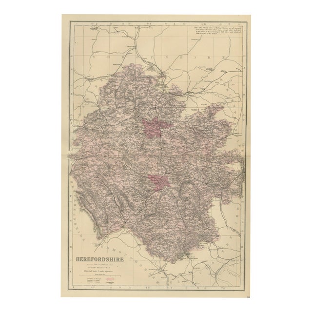
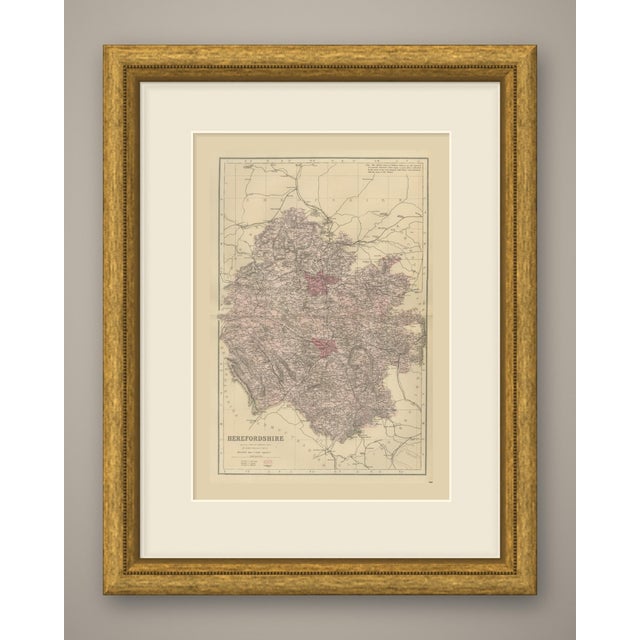
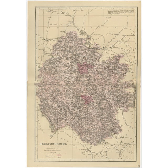
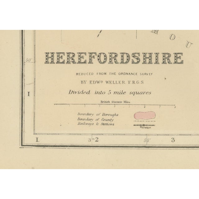
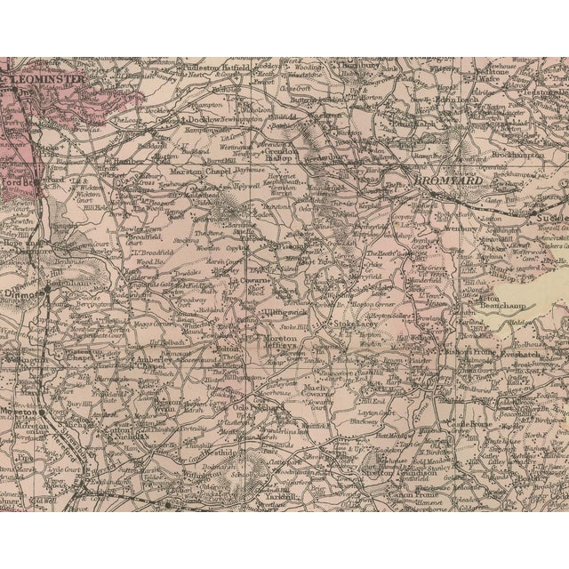
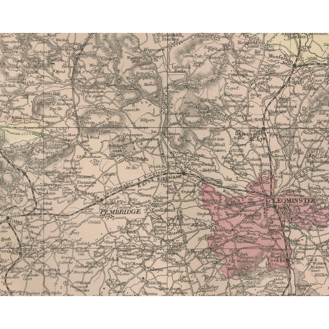
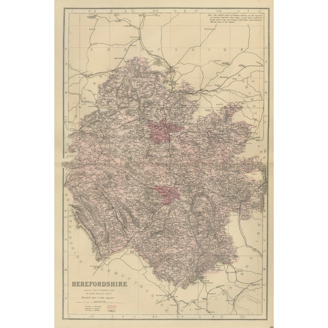
An original antique map of herefordshire, printed by lithography with original hand coloring, from the 1885 edition of the new … Read more An original antique map of herefordshire, printed by lithography with original hand coloring, from the 1885 edition of the new large scale ordnance atlas of the british isles. The title at the lower left reads "herefordshire", followed by "reduced from the ordnance survey" and the credit "by edwd weller. F.r.g.s", lettered here with a full stop after the name. The county fills a tall sheet washed in rose. Hereford lies near the center on the wye, leominster to the north, ross and ledbury to the south and east, and kington, pembridge, weobley and bromyard between them. Shropshire, with ludlow, craven arms and bishops castle, takes up the top of the sheet; radnorshire and brecknockshire run down the welsh side on the left, with knighton, presteign and new radnor; monmouthshire with monmouth and gloucestershire with cinderford and the river severn are at the bottom, and worcestershire is named along the right. The boroughs of hereford and leominster are picked out in crimson. The key below the title gives the borough and county boundaries and railways and stations, and the atlas note on station names is printed at the upper right: "the official names of railway stations are all engraved in a special character, thus, clayton; except where indicated by the name of the town being in bold letters and identical with the name of the station." the sheet is divided into five mile squares with letters and figures in the border, and a scale of british statute miles sits below the title. The sheet number 19 is printed in the margin. The sheet comes from the new large scale ordnance atlas of the british isles, the atlas of county and town maps reduced from the ordnance survey by edward weller, f.r.g.s., and published in london by g. W. Bacon and co. The date 1885 comes from the volume the sheets were taken from; the year is not printed on the sheet, and bacon's name does not appear on it. Edward weller (1819 to 1884) was a london map engraver and draftsman and a fellow of the royal geographical society. Vertical fold down the center from binding. Even age toning. Marked handling soiling along the left and right edges. A few small foxing spots in the margin. Slight wear at the bottom right and top left corners. This is an original antique map, not a modern reproduction. This item is sold unframed. Any framed or interior images are shown for presentation and inspiration only, unless the listing explicitly states that the item is sold framed. See less
- Dimensions
- 13.39ʺW × 19.69ʺH
- Period
- 19th Century
- Country of Origin
- United Kingdom
- Item Type
- Vintage, Antique or Pre-owned
- Materials
- Paper
- Condition
- Good Condition, Unknown, Some Imperfections
- Color
- Red
- Condition Notes
- Very Good — This vintage item has no defects, but it may show slight traces of use\. Vertical fold down … moreVery Good — This vintage item has no defects, but it may show slight traces of use\. Vertical fold down the center from binding. Even age toning. Marked handling soiling along the left and right edges. A few small foxing spots in the margin. Slight wear at the bottom right and top left corners. less
Returns & Cancellations
Return Policy - All sales are final 48 hours after delivery, unless otherwise specified in the description of the product.
Cancellation Policy - Prior to shipping or local pickup, buyers may cancel an order for up to 48 hours, unless otherwise specified.