

Details
Description
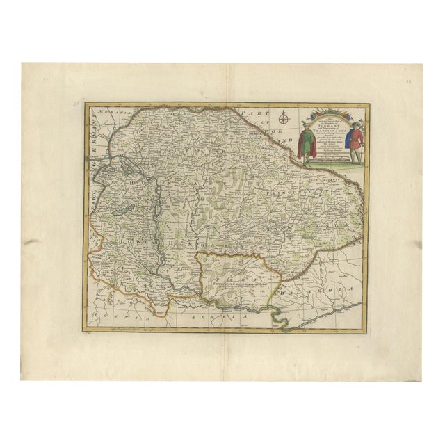
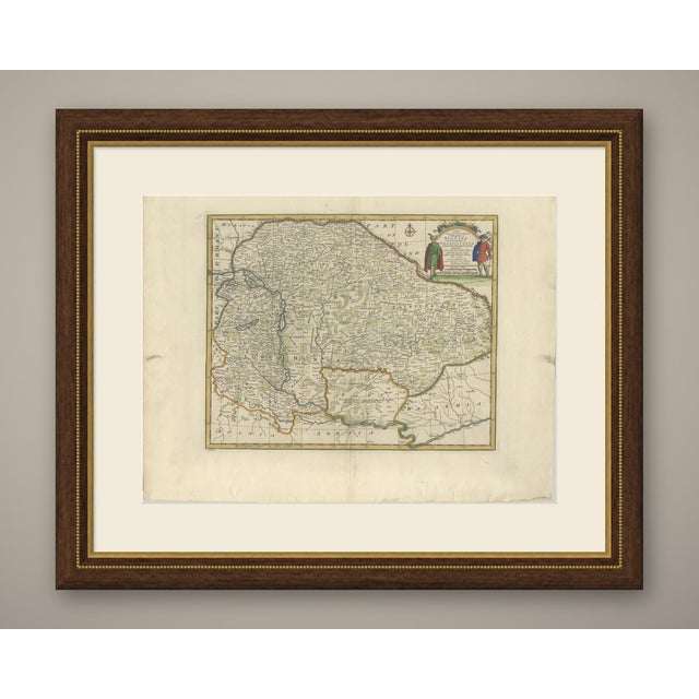
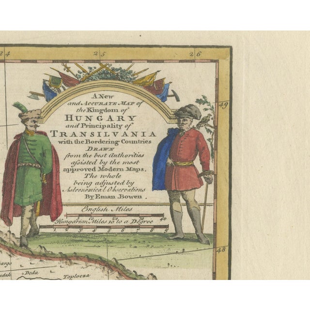
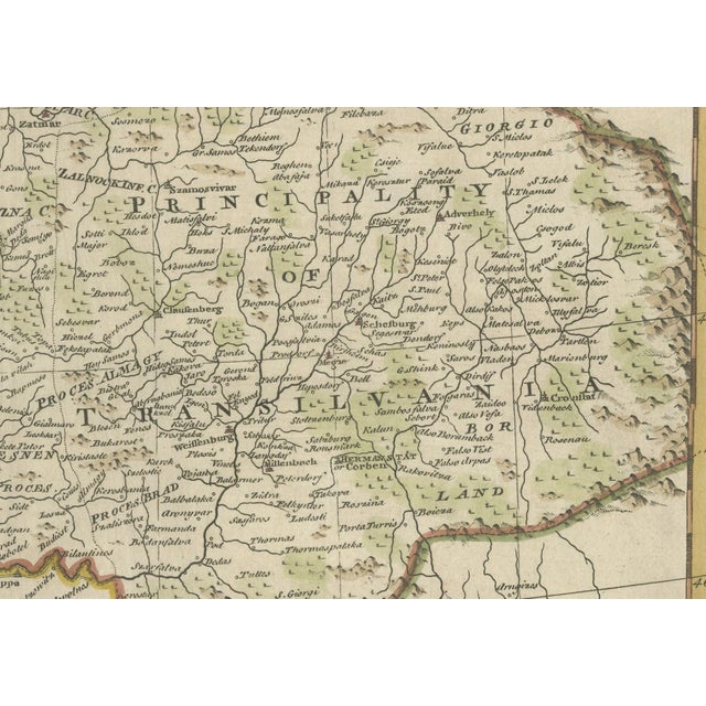
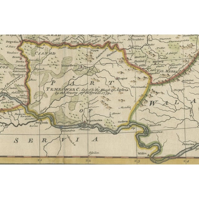
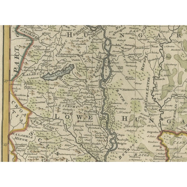
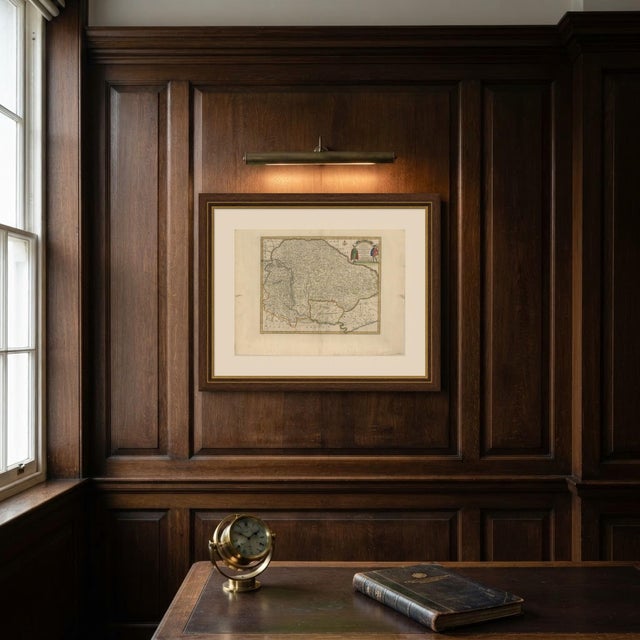
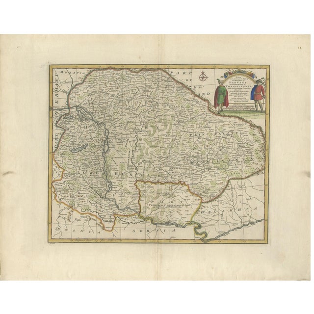
An original antique copper engraved map with original hand color, 1747, of hungary and transylvania by emanuel bowen. The cartouche … Read more An original antique copper engraved map with original hand color, 1747, of hungary and transylvania by emanuel bowen. The cartouche at upper right reads "a new and accurate map of the kingdom of hungary and principality of transilvania with the bordering countries drawn from the best authorities assisted by the most approved modern maps. The whole being adjusted by astronomical observations by eman. Bowen." the map runs from moravia and part of poland in the north to part of bosnia, servia and walakhia in the south, with germany along the left edge. Upper hungary, lower hungary and the principality of transylvania are lettered across it, with the danube flowing past vienna and belgrade toward widin, the tisza and many tributaries, marshes and lakes, and hills drawn in profile. Borders are colored by hand in yellow, green and red. In the banat a note reads "temeswar c. Ceded to the house of austria by the treaty of belgrade 1739." the title sits within an arch topped by a trophy of flags, axes and lances, flanked by two standing men: on the left a figure in a green coat, red cloak and fur cap with a feather, on the right a figure in a red coat with a blue cloak over his shoulder and a curved sword, beside a bird on a branch. Below the title are scale bars for "english miles" and "hungarian miles 10 to a degree", and a compass rose stands at the top of the map. Longitude east from london is marked along the bottom border. Below the lower left corner of the border the plate number is engraved "no 30". A later number, 28, is printed in the top right corner of the sheet. The map comes from a complete system of geography, published in london in 1747, where it is plate 30. Emanuel bowen (1694 to 1767) was a london engraver and mapmaker. The right edge is uneven in one place. Light uneven toning, browner towards the edges. Handling soiling along the left edge. Foxing over much of the margin. Slight wear at the bottom right and top right corners. Folding line as issued. This is an original antique map, not a modern reproduction. This item is sold unframed. Any framed or interior images are shown for presentation and inspiration only, unless the listing explicitly states that the item is sold framed. See less
- Dimensions
- 23.62ʺW × 19.29ʺH
- Period
- 18th Century
- Country of Origin
- United Kingdom
- Item Type
- Vintage, Antique or Pre-owned
- Materials
- Paper
- Condition
- Good Condition, Unknown, Some Imperfections
- Color
- Blue
- Condition Notes
- Very Good — This vintage item has no defects, but it may show slight traces of use\. The right edge … moreVery Good — This vintage item has no defects, but it may show slight traces of use\. The right edge is uneven in one place. Light uneven toning, browner towards the edges. Handling soiling along the left edge. Foxing over much of the margin. Slight wear at the bottom right and top right corners. Folding line as issued. less
Returns & Cancellations
Return Policy - All sales are final 48 hours after delivery, unless otherwise specified in the description of the product.
Cancellation Policy - Prior to shipping or local pickup, buyers may cancel an order for up to 48 hours, unless otherwise specified.