

Details
Description
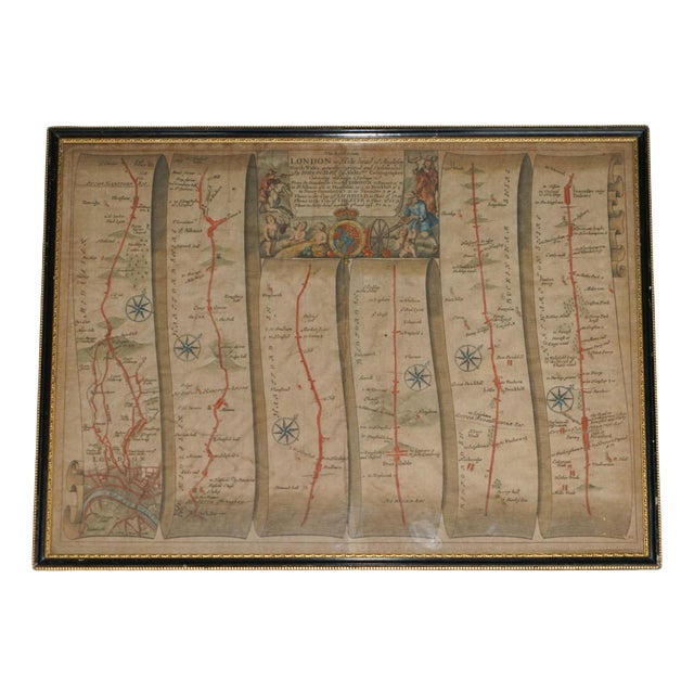
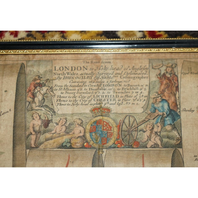
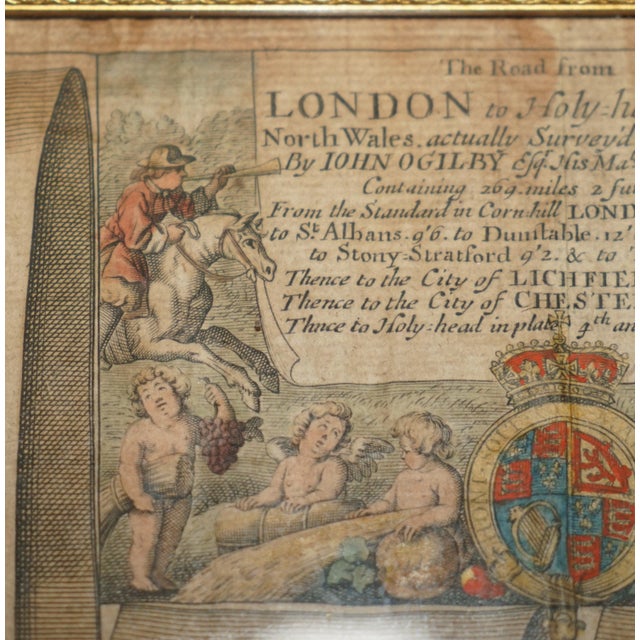
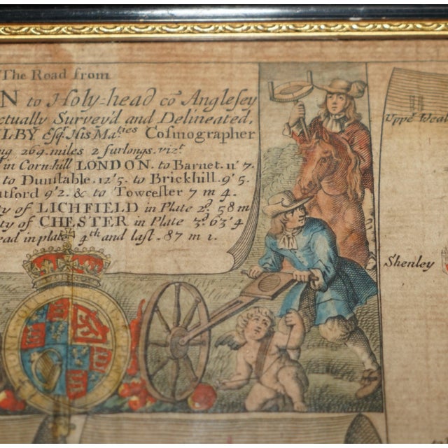
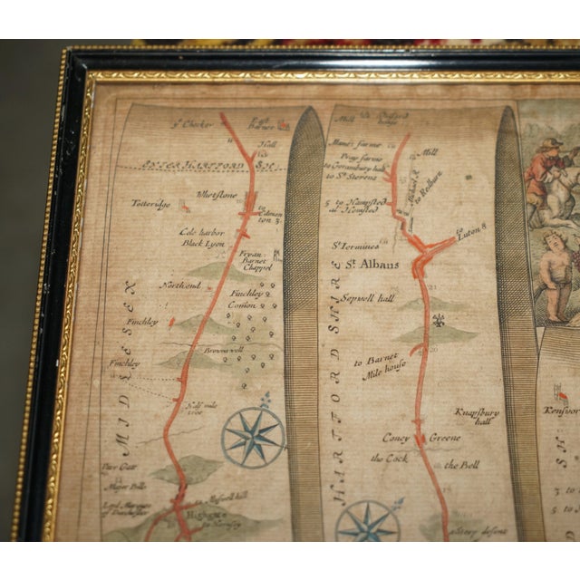
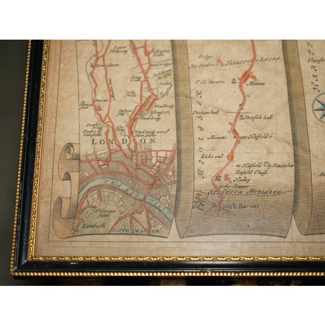
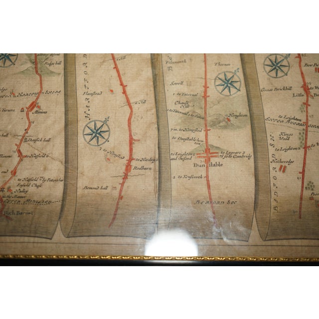
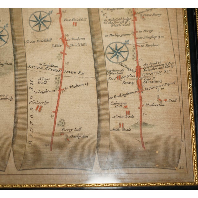
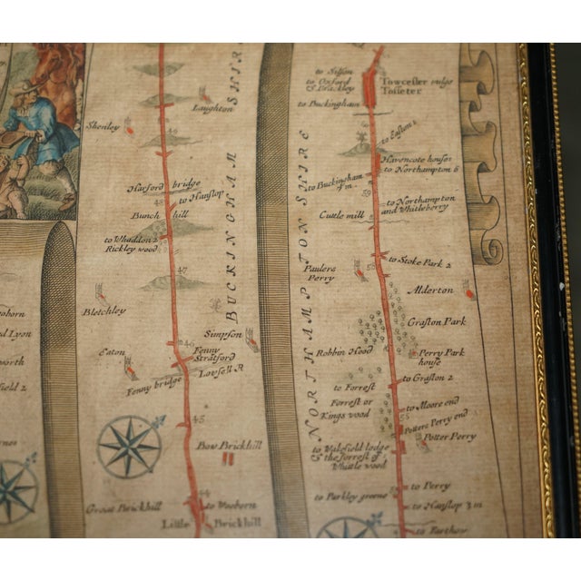
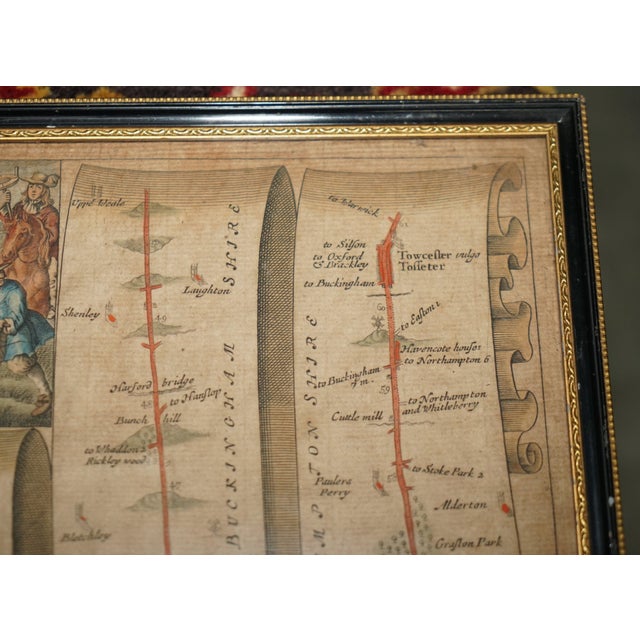
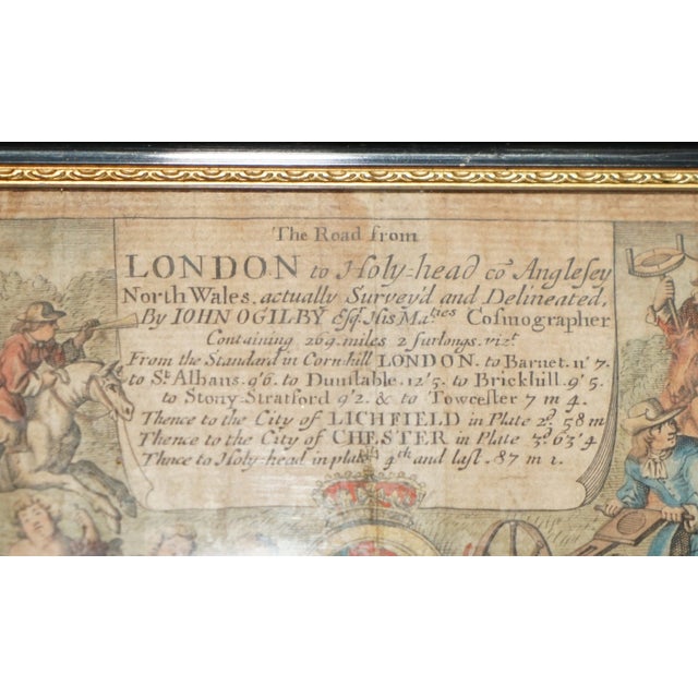
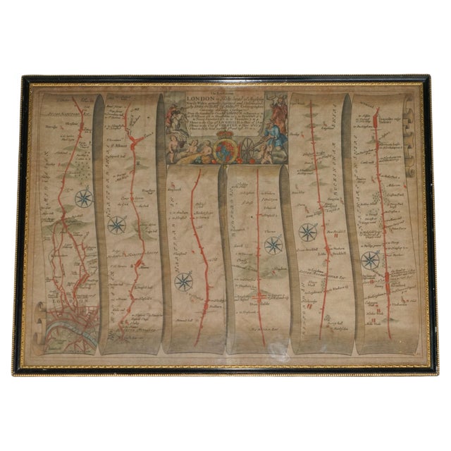
Antique hand-coloured engraved road map by the celebrated English cartographer John Ogilby (1600–1676), depicting the historic route from London to … Read more Antique hand-coloured engraved road map by the celebrated English cartographer John Ogilby (1600–1676), depicting the historic route from London to Holyhead in Anglesey, North Wales Originally published in Ogilby's revolutionary road atlas Britannia in 1675, this beautifully detailed map features six continuous strip maps, delicately coloured roads, compass roses and an elaborate central cartouche displaying the Royal Coat of Arms. Presented in a handsome black and gilt frame, it makes a wonderful decorative piece for a library, study or gentleman's office. The wonderfully detailed central cartouche reads “The Road from London to Holy-head co Anglesey North Wales, actually Survey'd and Delineated, By JOHN OGILBY Esq. His Majesties Cosmographer.” The inscription describes a remarkable journey of approximately 269 miles from the Standard in Cornhill, London, travelling through Barnet, St Albans, Dunstable, Stony Stratford, Towcester, Lichfield and Chester before eventually reaching Holyhead. The cartouche is beautifully illustrated with mounted travellers, classical cherubs, surveying instruments and the Royal Coat of Arms, celebrating the art of cartography during the reign of Charles II. See less
- Dimensions
- 14.96ʺW × 0.39ʺD × 18.5ʺH
- Period
- 2000 - 2009
- Country of Origin
- United Kingdom
- Item Type
- Vintage, Antique or Pre-owned
- Materials
- Paper
- Condition
- Good Condition, Unknown, Some Imperfections
- Color
- Black
Returns & Cancellations
Return Policy - All sales are final 48 hours after delivery, unless otherwise specified in the description of the product.
Cancellation Policy - Prior to shipping or local pickup, buyers may cancel an order for up to 48 hours, unless otherwise specified.