

Details
Description
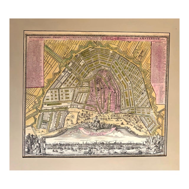
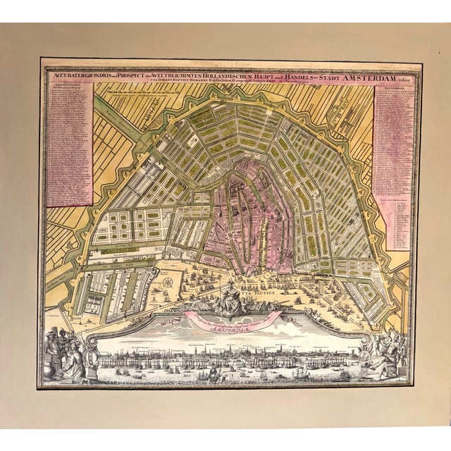
This is a superb plan of Amsterdam created by Hmann in 1727 and published in Nurnberg. Customarily for the time, … Read more This is a superb plan of Amsterdam created by Hmann in 1727 and published in Nurnberg. Customarily for the time, north is oriented to the lower right corner. Much detail is provided down to individual houses, windmills surrounding the city and of course the canals. Virtually every important building, canal and street is identified on the map or through the extensive index on both sides of the map. Many ships and boats are displayed in the harbor and along the docks. There is an elegant panoramic view of the city below reflecting of daily life and the trading tradition of the city. The two vignettes reflect the long reach of the Dutch traders to far-away lands of other continents. See less
- Dimensions
- 22.8ʺW × 0.1ʺD × 19.2ʺH
- Styles
- Traditional
- Frame Type
- Unframed
- Period
- Early 18th Century
- Country of Origin
- Germany
- Item Type
- Vintage, Antique or Pre-owned
- Materials
- Paper
- Condition
- Good Condition, Original Condition Unaltered, Some Imperfections
- Color
- White
- Condition Notes
- Very Good. Slight toning. Split in upper right. Issued centerfold. Mounted on board. Matted. Hand-color. Very Good. Slight toning. Split in upper right. Issued centerfold. Mounted on board. Matted. Hand-color. less
Questions about the item?
Returns & Cancellations
Return Policy - All sales are final 48 hours after delivery, unless otherwise specified in the description of the product.
Cancellation Policy - Prior to shipping or local pickup, buyers may cancel an order for up to 48 hours, unless otherwise specified.