

Details
Description
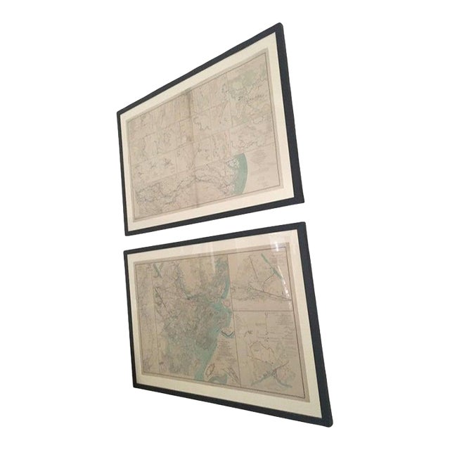
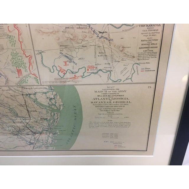
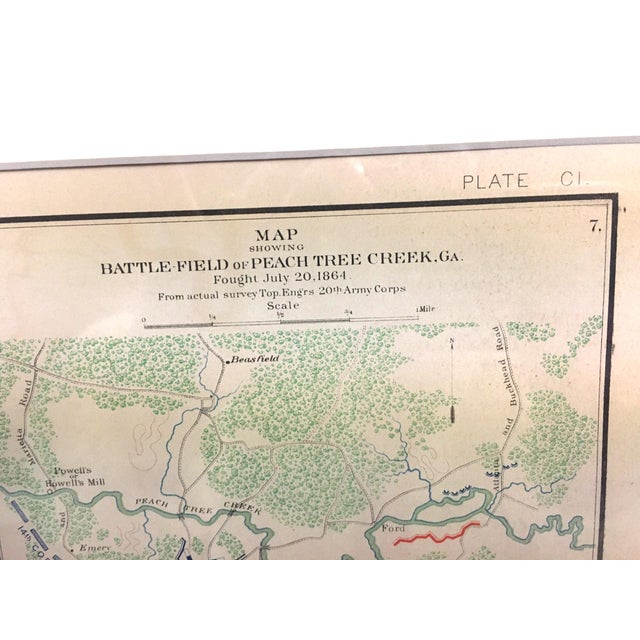
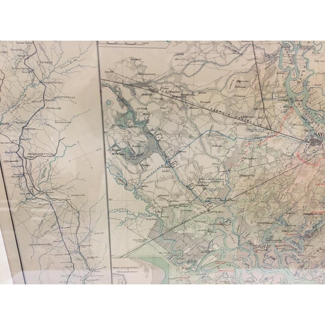
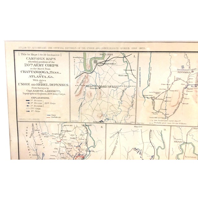
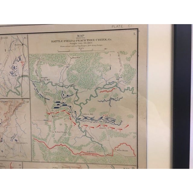
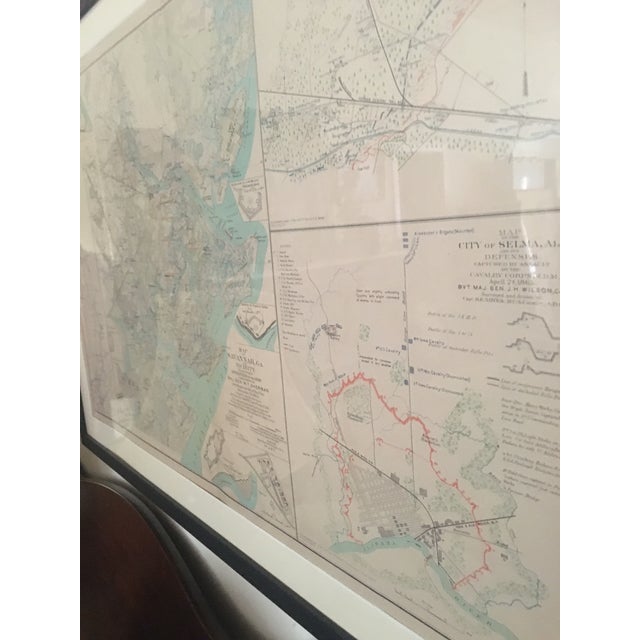
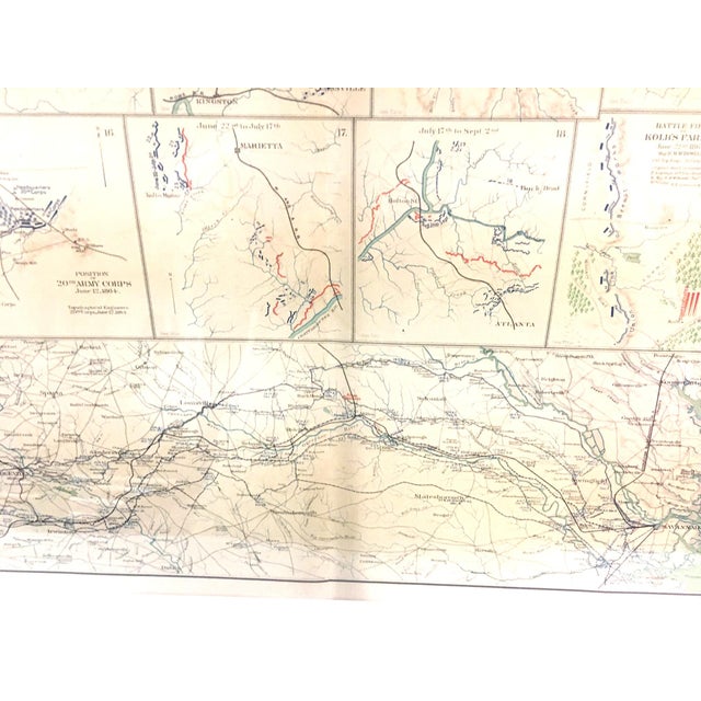
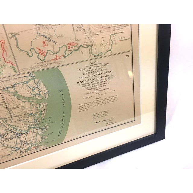
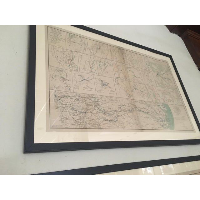
This important pair of post Civil War hand colored surveyors maps illustrate the positions and imbattlements of the opposing forces …
Read more
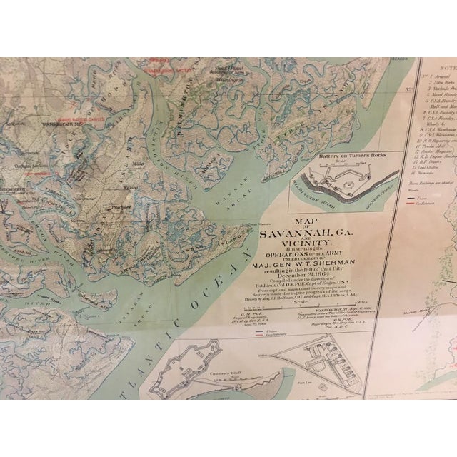
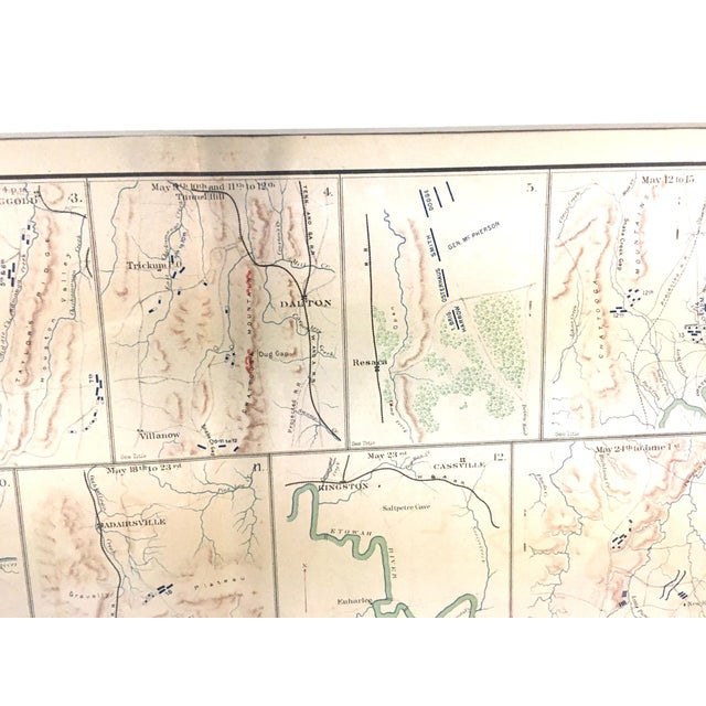
This important pair of post Civil War hand colored surveyors maps illustrate the positions and imbattlements of the opposing forces during Sherman's 1864 March to the Sea and capture of Savannah.
Also included are detailed drawings of the Battles of Peachtree Creek and Selma Alabama and the Union and Rebel Defenses of the March from Chattanooga to Atlanta.
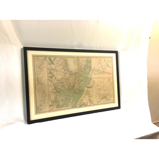
One map is titled "Map illustrating the March of the army under Maj. Gen. Sherman from Atlanta to Savannah Nov 15 to Dec 21st 1864." The other reads " Map of Savannah Georgia and vicinity illustrating operations of the army under the command Maj. Gen. Sherman resulting in the fall of that city December 21, 1864."
These detailed and informative maps were compiled by the Army Corp of Engineers from 1866 to 1881 and also show details of minor skirmishes in the area between the opposing forces.
Framed in simple wooden frames with glass, the sitelines are 28 inches across x 17 inches tall.
See less
- Dimensions
- 32.25ʺW × 1ʺD × 21.5ʺH
- Styles
- Americana
- Frame Type
- Framed
- Period
- Late 19th Century
- Country of Origin
- United States
- Item Type
- Vintage, Antique or Pre-owned
- Materials
- Glass
- Paper
- Wood
- Condition
- Good Condition, Original Condition Unaltered, Some Imperfections
- Color
- Alabaster
- Condition Notes
- Very good condition overall, no tearing or rips. One has slight discoloration a crease see last two images. Very good condition overall, no tearing or rips. One has slight discoloration a crease see last two images. less
Questions about the item?
Returns & Cancellations
Return Policy - All sales are final 48 hours after delivery, unless otherwise specified in the description of the product.
Cancellation Policy - Prior to shipping or local pickup, buyers may cancel an order for up to 48 hours, unless otherwise specified.