

Details
Description
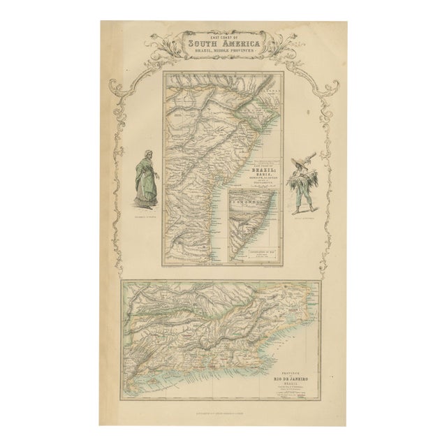
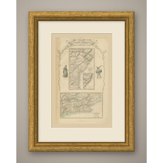
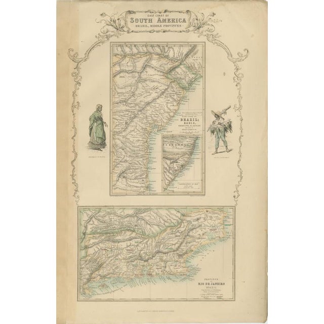
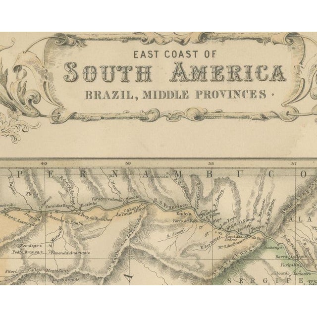
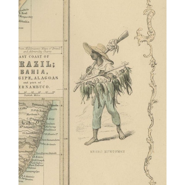
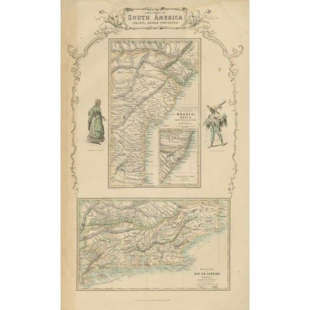
This is an original antique engraved map, colored by hand, from fullarton's companion atlas to the gazetteer of the world. … Read more This is an original antique engraved map, colored by hand, from fullarton's companion atlas to the gazetteer of the world. It is an upright sheet with no center fold. A scrollwork header reads "east coast of south america brazil, middle provinces." the upper map is titled "from mahlmann's maps of brazil and admiralty charts east coast of brazil; bahia, sergipe, alagoas and part of pernambuco.". It covers the coast from belmonte north to the mouth of the sao francisco and inland into pernambuco, with "bahia or san salvador" on its bay. An inset at its lower right, titled "continuation of map at n.e. Corner on the same scale.", carries the coast on through alagoas and pernambuco to recife and olinda. The lower map is titled "province of rio de janeiro brazil", with a scale of "portuguese leagues" and a key reading "chief provincial towns thus" and "municipal", the towns underlined in red and green. It shows rio de janeiro on its bay and runs from campos and cape sao tome in the east to the border of sao paulo in the west. Two hand colored figures flank the upper map: a woman of bahia on the left and a hunter carrying a string of birds on the right, each with an engraved caption beneath. Below the lower left corner of the upper map is the line "drawn by j. Bartholomew jr. F.r.g.s." and below its lower right corner "engraved by j. Bartholomew, edinr." the rio de janeiro title continues "from the map of h. Mahlmann. Drawn by g.h. Swanston."; no engraver's line stands below it. The imprint below the center reads "a. Fullarton & co. London, edinburgh & dublin." the companion atlas to the gazetteer of the world was published by a. Fullarton and co. Of london, edinburgh and dublin and issued to subscribers in parts. The original printed wrapper of part 7 survives with these maps; it bills forty-three maps, names g. H. Swanston as engraver, and is marked "coloured copy". Rio de janeiro, shown on the lower map, was then the capital of the empire of brazil. Condition: light uneven toning, browner toward the edges. Handling soiling along the right and top edges. Scattered light foxing in the margin. Complete sheet, all four corners present. Several larger brown marks. This is an original antique map, not a modern reproduction. This item is sold unframed. Any framed or interior images are shown for presentation and inspiration only, unless the listing explicitly states that the item is sold framed. See less
- Dimensions
- 12.6ʺW × 18.9ʺH
- Period
- 19th Century
- Country of Origin
- United Kingdom
- Item Type
- Vintage, Antique or Pre-owned
- Materials
- Paper
- Condition
- Good Condition, Unknown, Some Imperfections
- Color
- Brown
- Condition Notes
- Good — This vintage item remains fully functional, but it shows sign of age through scuffs, dings, faded finishes, minimal … moreGood — This vintage item remains fully functional, but it shows sign of age through scuffs, dings, faded finishes, minimal upholstery defects, or visible repairs\. Light uneven toning, browner toward the edges. Handling soiling along the right and top edges. Scattered light foxing in the margin. Complete sheet, all four corners present. Several larger brown marks less
Returns & Cancellations
Return Policy - All sales are final 48 hours after delivery, unless otherwise specified in the description of the product.
Cancellation Policy - Prior to shipping or local pickup, buyers may cancel an order for up to 48 hours, unless otherwise specified.