

Details
Description
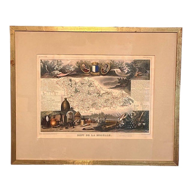
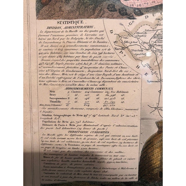
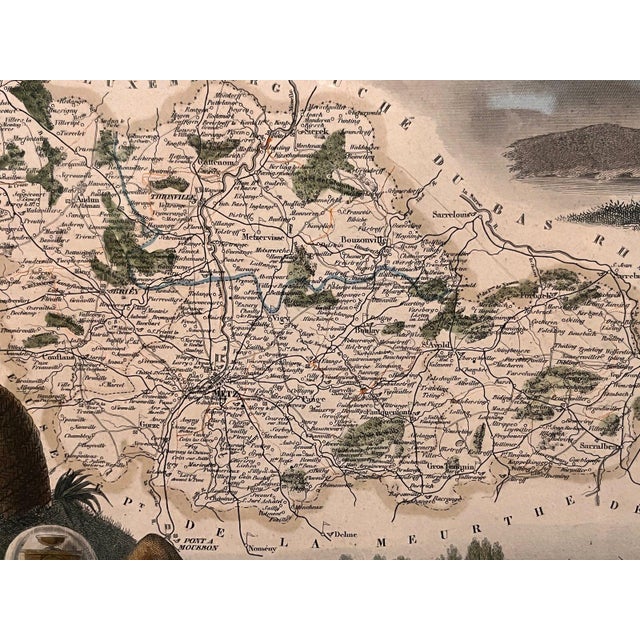
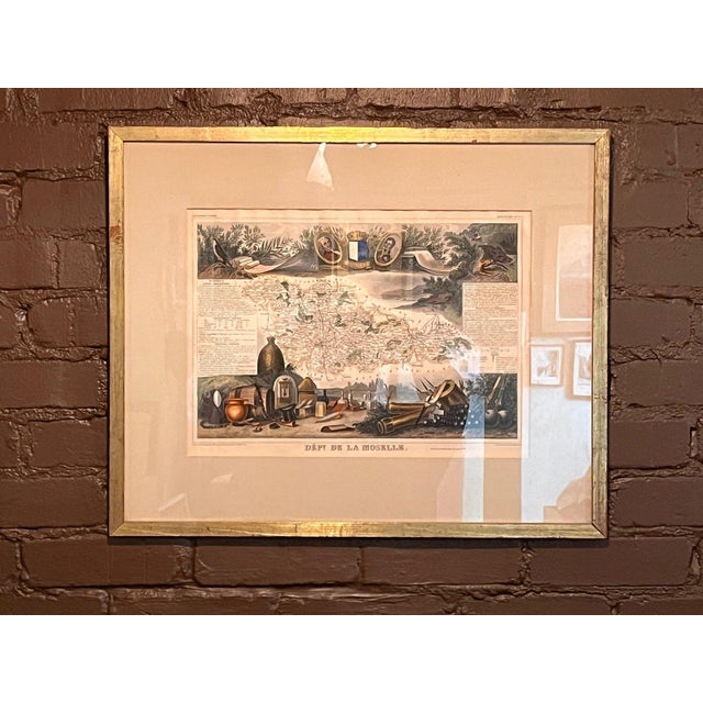
An original mid-19th-century hand-colored steel-engraved map of the Department of the Moselle, France, by renowned cartographer Victor Levasseur (1800–1870). Published …
Read more
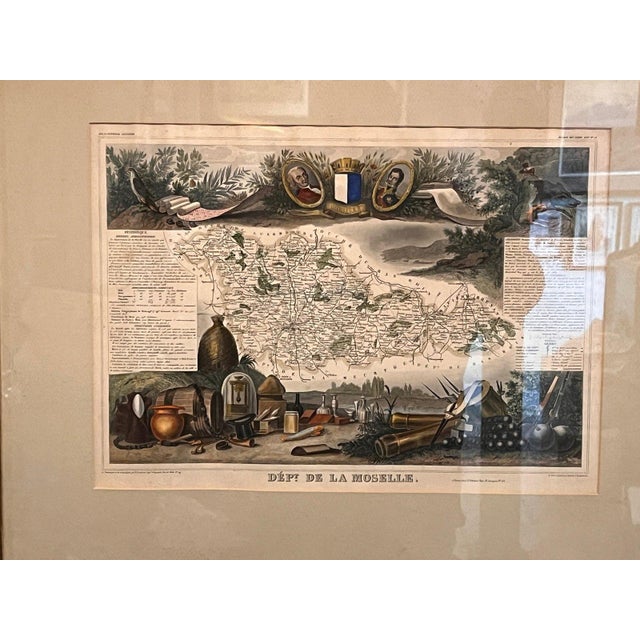
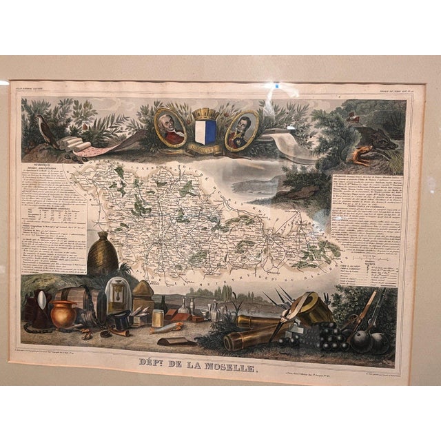
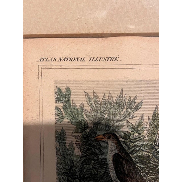
An original mid-19th-century hand-colored steel-engraved map of the Department of the Moselle, France, by renowned cartographer Victor Levasseur (1800–1870). Published in Paris for his celebrated Atlas National Illustré des 86 Départements et des Possessions de la France (c. 1845–1852).
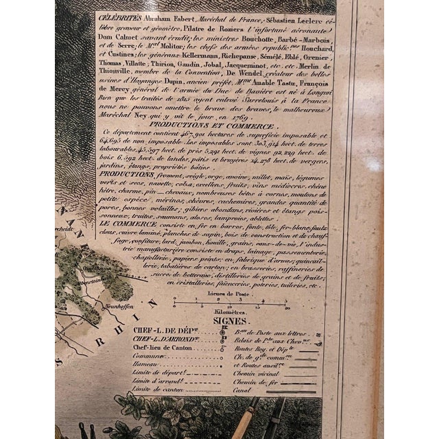
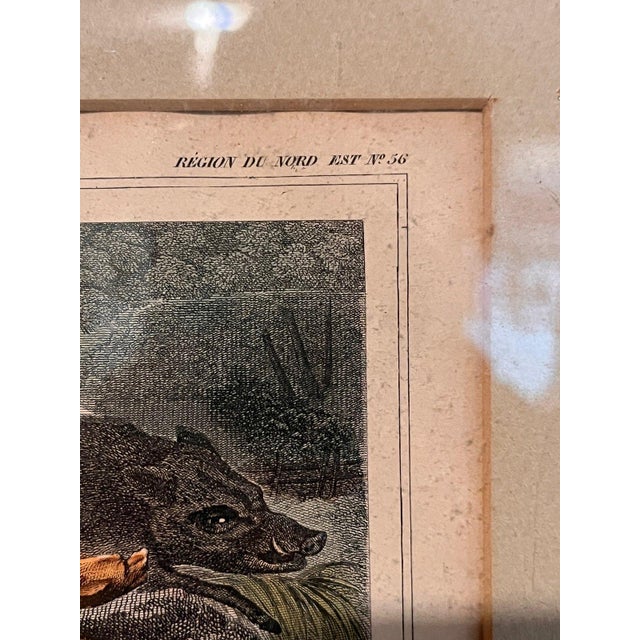
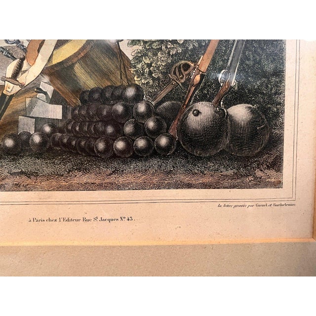
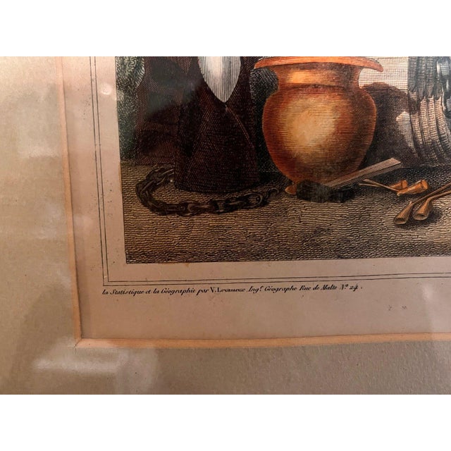
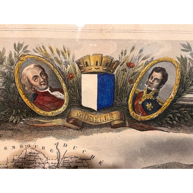
This map is celebrated for its elaborate, hand-colored pictorial borders featuring regional portraits (including François Pilâtre de Rozier), the Moselle coat of arms, local wildlife (wild boar), agricultural crops, glassware, and military paraphernalia surrounding the detailed regional map centered on Metz.
Housed in a custom wooden frame with double-matted glazing.
• Cartographer: Victor Levasseur • Date: Circa 1845–1852 • Technique: Hand-colored steel engraving • Frame Dimensions: 25" x 20.5"
BRAND / CREATOR
Victor Levasseur
TAGS
Antique Map, Victor Levasseur, Moselle France, 19th Century Print, French Cartography, Hand Colored Map, Atlas Illustre, Metz France, Framed Wall Art, Steel Engraving, Decorative Map, French History, Vintage Map
See less
- Dimensions
- 27.5ʺW × 4ʺD × 22ʺH
- Styles
- French
- Frame Type
- Framed
- Period
- Late 19th Century
- Country of Origin
- France
- Item Type
- Vintage, Antique or Pre-owned
- Materials
- Glass
- Gold
- Wood
- Condition
- Good Condition, Original Condition Unaltered, Some Imperfections
- Color
- Gold
- Condition Notes
- Good vintage condition consistent with age and use. Good vintage condition consistent with age and use. less
Questions about the item?
Returns & Cancellations
Return Policy - All sales are final 48 hours after delivery, unless otherwise specified in the description of the product.
Cancellation Policy - Prior to shipping or local pickup, buyers may cancel an order for up to 48 hours, unless otherwise specified.