

Details
Description
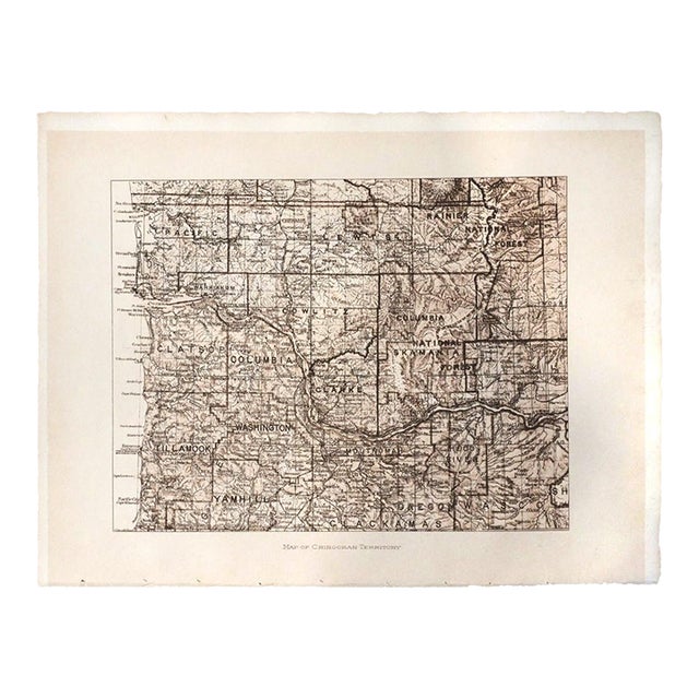
An original photogravure map from Edward S. Curtis's The North American Indian. Map of Chinookan Territory shows the lower Columbia …
Read more
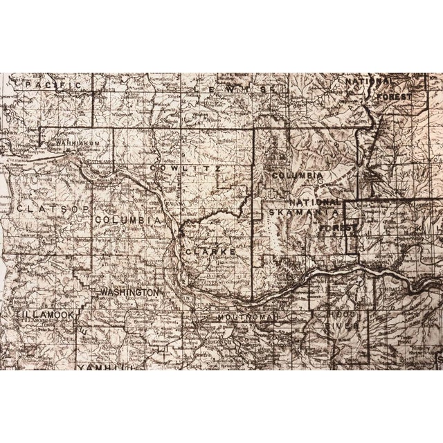
An original photogravure map from Edward S. Curtis's The North American Indian. Map of Chinookan Territory shows the lower Columbia River country of Washington and Oregon, from Astoria and the Pacific coast past Portland and Vancouver to The Dalles. Rivers, towns, county lines and the survey grid are drawn in fine detail, with the county names of the day (Pacific, Wahkiakum, Cowlitz, Clarke, Skamania, Clatsop, Columbia, Tillamook, Washington, Yamhill, Multnomah, Clackamas, Hood River and Wasco). The map appeared in Volume 8, published in 1911, which covers the Nez Perce, Walla Walla, Umatilla and Cayuse and the Chinookan tribes of the lower Columbia.
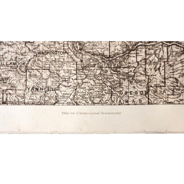
From Volume 8, facing page 182. Printed on Holland Van Gelder, one of the three papers used for the original subscriber sets. Titled in the plate below the map (MAP OF CHINOOKAN TERRITORY). The plate mark shows around the image.
Image: 6 7/8 x 9 3/8 inches. Sheet: 9 1/2 x 12 1/2 inches.
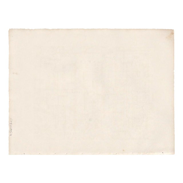
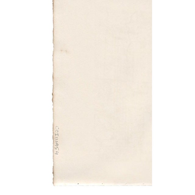
Provenance: the Christopher G. Cardozo Collection. The collection's inventory number (CCI111954) is written in pencil on the verso.
A vintage impression from the original publication, not a later restrike. Sold unframed, ready to mat and frame.
See less
- Dimensions
- 12.5ʺW × 0.01ʺD × 9.5ʺH
- Styles
- Native American
- Art Subjects
- Landscape
- Frame Type
- Unframed
- Artist
- Edward S. Curtis
- Period
- 1910s
- Country of Origin
- United States
- Item Type
- Vintage, Antique or Pre-owned
- Materials
- Paper
- Condition
- Good Condition, Original Condition Unaltered, Some Imperfections
- Color
- Tan
- Condition Notes
- Good vintage condition. A clean, crisp impression with the plate mark visible. A few tiny specks in the margins, visible … moreGood vintage condition. A clean, crisp impression with the plate mark visible. A few tiny specks in the margins, visible on close inspection. The bound edge along the bottom has the original sewing holes and a row of small nicks from the binding, all well outside the image. On the verso: the pencil inventory number, a light tan stain in one corner, two small spots, and faint offset from the map. No tears noted. Sold unframed. less
Questions about the item?
Returns & Cancellations
Return Policy - All sales are final 48 hours after delivery, unless otherwise specified in the description of the product.
Cancellation Policy - Prior to shipping or local pickup, buyers may cancel an order for up to 48 hours, unless otherwise specified.
Related Collections
- Scarlet Photography
- Soicher Marin Photography
- Cubism Photography
- Photography in Salt Lake City
- Edward S. Curtis Photography
- Renaissance Photography
- Raymond Loewy Photography
- Nick Mele Photography
- Black and White Photos
- Photography in Cleveland
- Photography in Minneapolis
- Gustavian (Swedish) Photography
- Edwardian Photography