

Details
Description
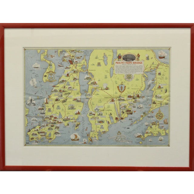
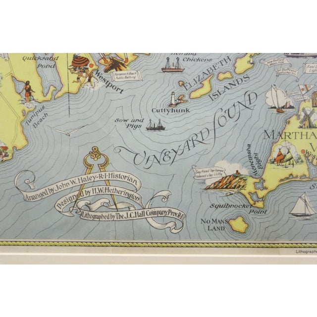
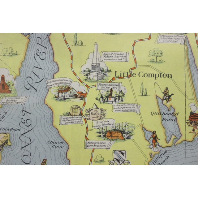
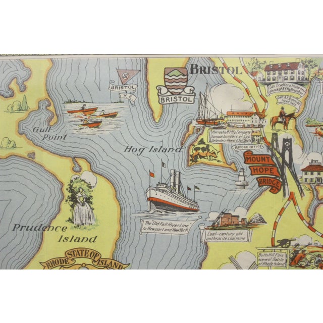
Fabulous circa 1933 color (12-fold) red framed map of Rhode Island designed by H.W. Hetherington. From Narragansett Bay to Buzzard's …
Read more
Fabulous circa 1933 color (12-fold) red framed map of Rhode Island designed by H.W. Hetherington. From Narragansett Bay to Buzzard's Bay since custom framed
Provenance: a Newport, RI estate
Map Sz: 17-3/8"H x 25-7/8"W
Frame Sz: 26"H x 34 1/2"W
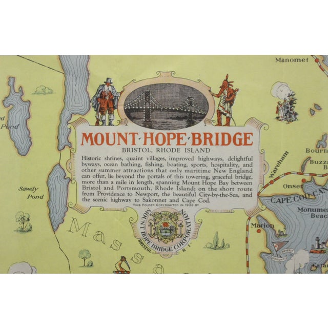
The 1933 "Mount Hope Bridge, Bristol, Rhode Island" map is a highly collectible pictorial map. It was published by the Mount Hope Bridge Corporation to promote the newly opened bridge connecting mainland Bristol to Aquidneck Island.
Here are the key details about this historic piece:
Creators & Designers: Researched by John W. Haley and designed by H.W. Hetherington.
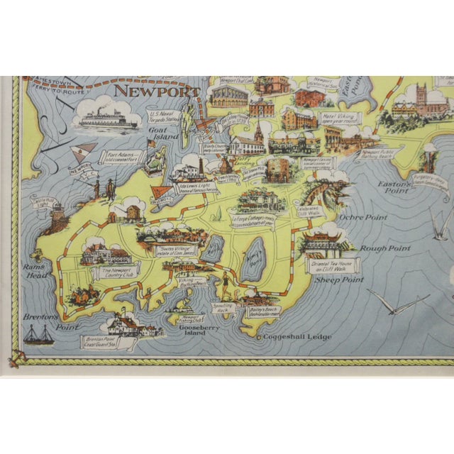
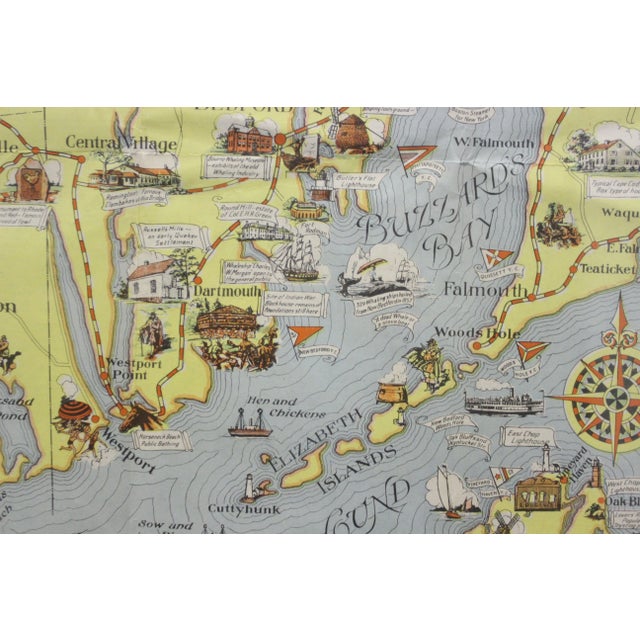
Coverage Area: Beautifully illustrates Rhode Island and eastern Massachusetts, highlighting Buzzard's Bay, the Sakonnet River, Narragansett Bay, and coastal towns like Newport, Portsmouth, and Little Compton.
See less
- Dimensions
- 34.25ʺW × 0.5ʺD × 26ʺH
- Styles
- Traditional
- Frame Type
- Framed
- Period
- 1930s
- Country of Origin
- United States
- Item Type
- Vintage, Antique or Pre-owned
- Materials
- Paper
- Condition
- Good Condition, Original Condition Unaltered, Some Imperfections
- Color
- Blue
- Condition Notes
- Excellent - Minor wear consistent with age and history Excellent - Minor wear consistent with age and history less
Questions about the item?
Returns & Cancellations
Return Policy - All sales are final 48 hours after delivery, unless otherwise specified in the description of the product.
Cancellation Policy - Prior to shipping or local pickup, buyers may cancel an order for up to 48 hours, unless otherwise specified.