

Details
Description
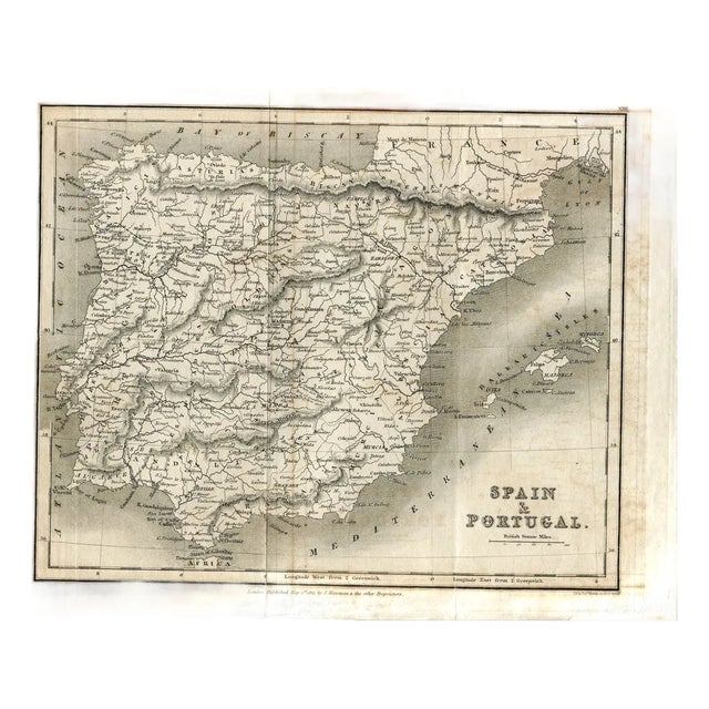
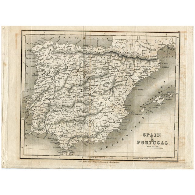
Original antique map of Spain and Portugal, with shaded relief, the division into provinces and kingdoms, the Balearic Islands and …
Read more
Original antique map of Spain and Portugal, with shaded relief, the division into provinces and kingdoms, the Balearic Islands and scales in British miles. Lettered at the foot: London, Published May 1st 1827, by J. Mawman & the other Proprietors, and at the right, J. & J. Neele sculp., 352 Strand.
Medium: Copper engraving.
Engravers: J. & J. Neele, 352 Strand, London.
Publisher: J. Mawman and the other proprietors.
Date: 1 May 1827.
Source: Sheet no. XIII.
Dimensions: 11.7 x 9.1 in (29.8 x 23 cm).
Condition: Toned paper with oxidation staining and a central fold; adhesive tape on the back reinforcing the margins.
See less
- Dimensions
- 11.7ʺW × 0.1ʺD × 9.1ʺH
- Styles
- Illustration
- Frame Type
- Unframed
- Period
- Early 19th Century
- Item Type
- Vintage, Antique or Pre-owned
- Materials
- Engraving
- Condition
- Good Condition, Original Condition Unaltered, Some Imperfections
- Color
- Beige
- Condition Notes
- Toned paper with oxidation staining and a central fold; adhesive tape on the back reinforcing the margins. Toned paper with oxidation staining and a central fold; adhesive tape on the back reinforcing the margins. less
Questions about the item?
Returns & Cancellations
Return Policy - All sales are final 48 hours after delivery, unless otherwise specified in the description of the product.
Cancellation Policy - Prior to shipping or local pickup, buyers may cancel an order for up to 48 hours, unless otherwise specified.