





Details
Description
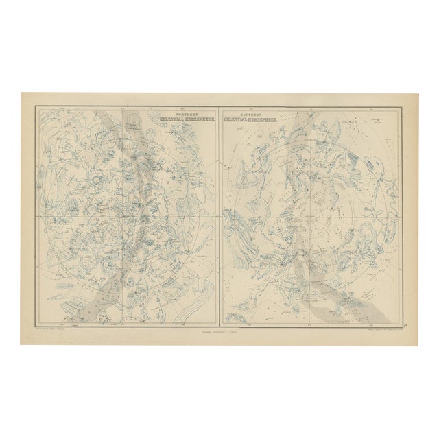
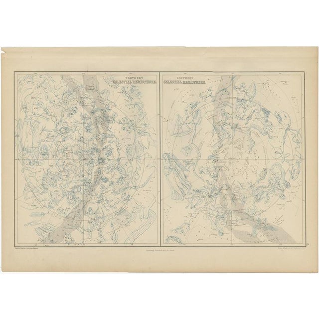
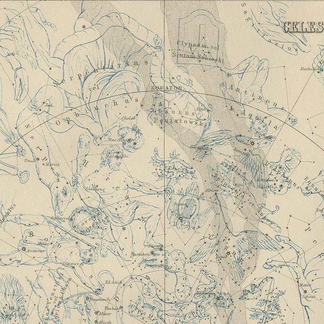
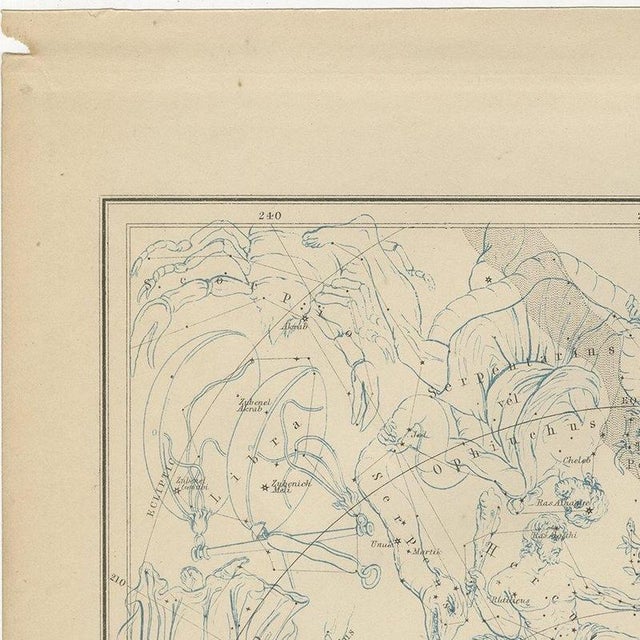
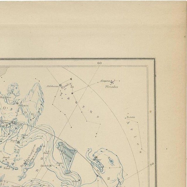
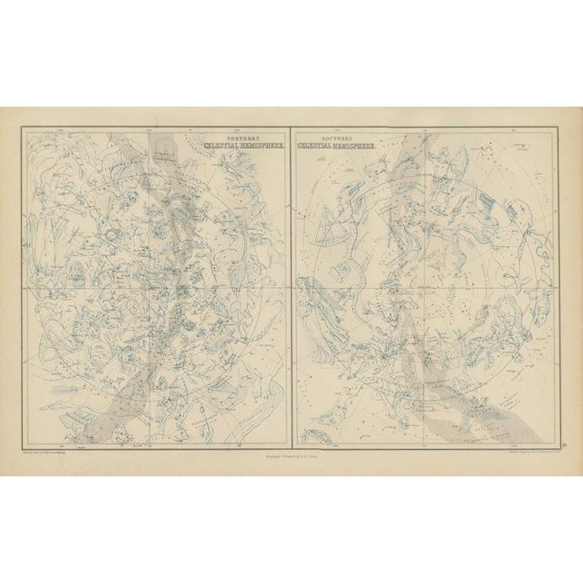
An antique celestial chart of the northern and southern skies, the two hemispheres set side by side on a single … Read more An antique celestial chart of the northern and southern skies, the two hemispheres set side by side on a single sheet, engraved on steel for black's general atlas of the world and published in edinburgh by a. And c. Black in 1870. Each hemisphere is drawn as a circular projection of the heavens about its celestial pole, so that between them the two charts account for the whole sphere of fixed stars visible from the earth. A chart of this kind records the constellations under the names that astronomy had settled on by the middle of the nineteenth century, with the stars graded by magnitude and the ecliptic and equator ruled across them. A celestial chart is the plate in a victorian general atlas that most often finds a buyer who is not a map collector at all, since it appeals equally to those who follow astronomy and to those who simply like the geometry of the night sky on a wall. The engraving is in fine steel line with original hand colour, and a star chart hangs particularly well above a desk or beside a world map. Black's general atlas of the world was the standard british household atlas of the middle nineteenth century, issued in edinburgh by the publishing house of adam and charles black, the firm better known to most readers as the publisher of sir walter scott and of the encyclopaedia britannica. Its maps were engraved on steel, most of them under the direction of the edinburgh cartographer john bartholomew, whose clear lettering and restrained hill shading gave the atlas a legibility that its heavier rivals lacked. Successive issues were revised as boundaries moved and railways spread, so a sheet from black's records the world as an educated victorian reader understood it in the year the plate was printed. Sheets from this atlas are sought after today both as reference cartography and as decorative material, the generous folio format suiting a wall quite as readily as a portfolio. Hung as a pair or a group, the plates make a handsome and genuinely informative wall. The sheet is in good condition for its age, with the centre fold as issued, light toning and a small chip at the upper left edge of the margin; the charts are clean. This is an original antique map, not a modern reproduction. This item is sold unframed. Any framed or interior images are shown for presentation and inspiration only, unless the listing explicitly states that the item is sold framed. See less
- Dimensions
- 17.72ʺW × 12.2ʺH
- Period
- 19th Century
- Country of Origin
- United Kingdom
- Item Type
- Vintage, Antique or Pre-owned
- Materials
- Paper
- Condition
- Good Condition, Unknown, Some Imperfections
- Color
- Black
- Condition Notes
- Very Good — This vintage item has no defects, but it may show slight traces of use\. Centre fold as … moreVery Good — This vintage item has no defects, but it may show slight traces of use\. Centre fold as issued; light toning and faint soiling to the margins; small chip at the upper left edge, clear of the image less
Returns & Cancellations
Return Policy - All sales are final 48 hours after delivery, unless otherwise specified in the description of the product.
Cancellation Policy - Prior to shipping or local pickup, buyers may cancel an order for up to 48 hours, unless otherwise specified.