





Details
Description
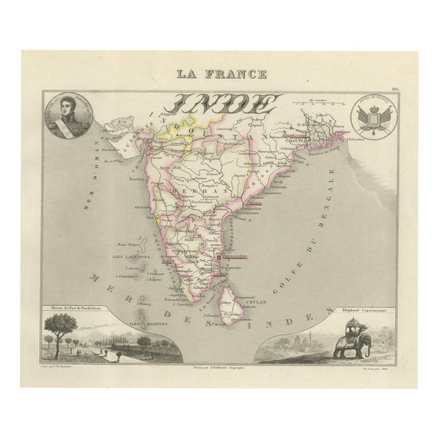
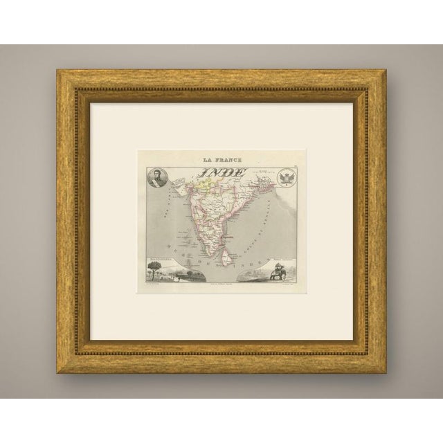
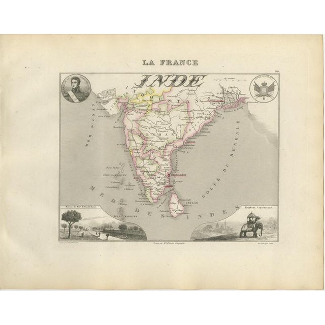
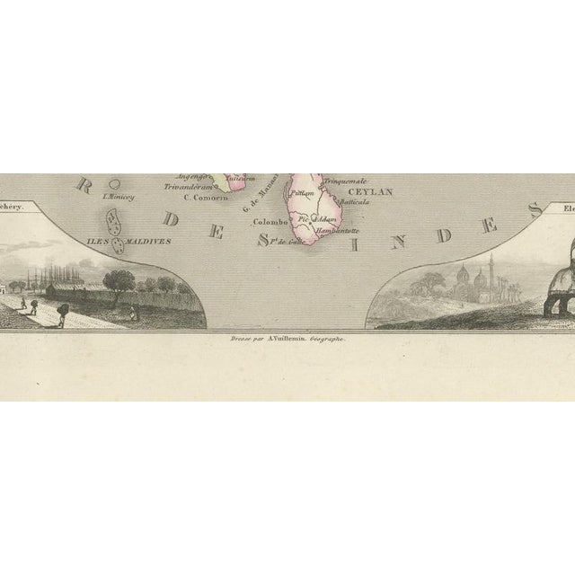
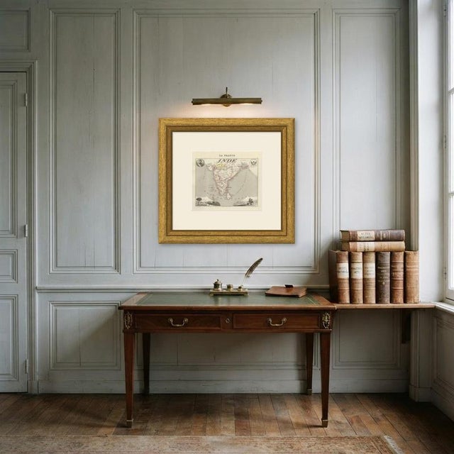
A map of India centred on the French establishments, with Pondichery, Chandernagor near Calcutta, Karikal and the other comptoirs marked … Read more A map of India centred on the French establishments, with Pondichery, Chandernagor near Calcutta, Karikal and the other comptoirs marked among the British possessions, and Ceylon, the Maldives and the Laccadives drawn in the sea to the south. The Deccan, Hyderabad, Bombay, Surat, Goa, Seringapatam and Cape Comorin are all named. Two engraved vignettes decorate the sheet: the government house at the port of Pondichery, and a caparisoned elephant. The French holdings in India survived until 1954 and are a much less familiar story than the British one, which is precisely what makes the plate interesting. India maps have a broad international market and this one has a subject that few other sellers will have on the shelf. La France, Nouvel Atlas Illustre des Departements et des Colonies was drawn by Alexandre Vuillemin, ingenieur geographe, and published in Paris by Migeon at 9 rue de la Vieille Monnaie. Vuillemin built each sheet from the official surveys, the Cassini maps, the Depot de la Guerre, the Ponts et Chaussees and the charts of the Marine, and then framed the map with engraved vignettes: a portrait of a figure born in the department, a view of a monument or a ruin, a coat of arms. The result is part atlas and part popular encyclopaedia, and it remains one of the most decorative French departmental series of the nineteenth century. The plates in this copy show France divided into eighty six departments and the county of Nice still outside the frontier, so the engraving was completed before the annexation of Savoy and Nice in 1860, although Migeon went on issuing the atlas for many years afterwards. The sheets suit a French interior particularly well, and a group of neighbouring departments hung together makes an attractive run. The sheet is in good condition for its age, with light toning and a few spots of foxing in the margins; the image itself is clean and strong. This is an original antique map, not a modern reproduction. This item is sold unframed. Any framed or interior images are shown for presentation and inspiration only, unless the listing explicitly states that the item is sold framed. See less
- Dimensions
- 12.99ʺW × 10.24ʺH
- Period
- 19th Century
- Country of Origin
- France
- Item Type
- Vintage, Antique or Pre-owned
- Materials
- Paper
- Condition
- Good Condition, Unknown, Some Imperfections
- Color
- Beige
Returns & Cancellations
Return Policy - All sales are final 48 hours after delivery, unless otherwise specified in the description of the product.
Cancellation Policy - Prior to shipping or local pickup, buyers may cancel an order for up to 48 hours, unless otherwise specified.