


Details
Description
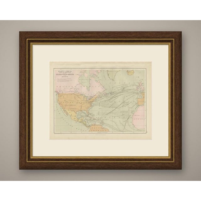
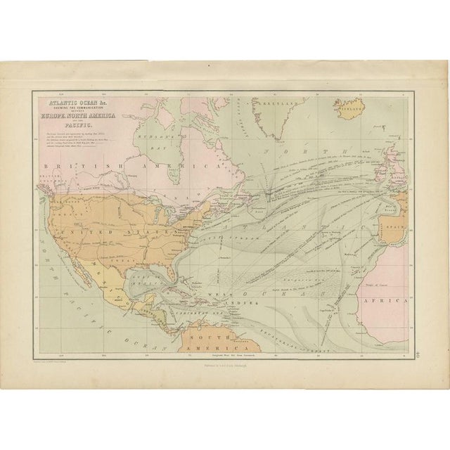
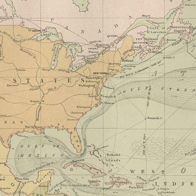
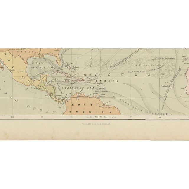
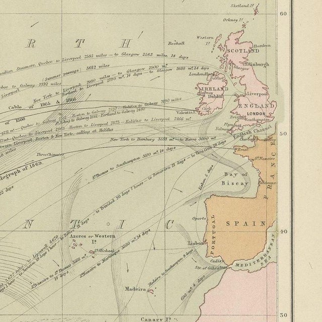
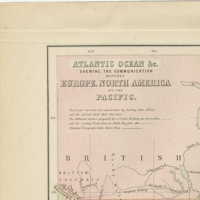
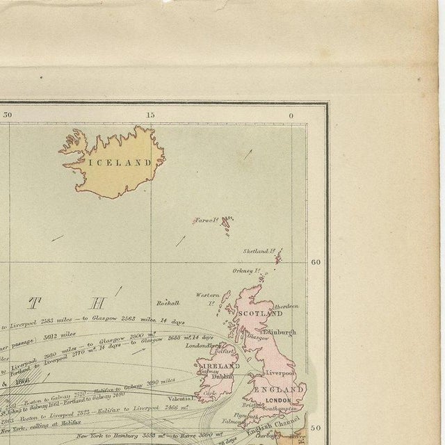
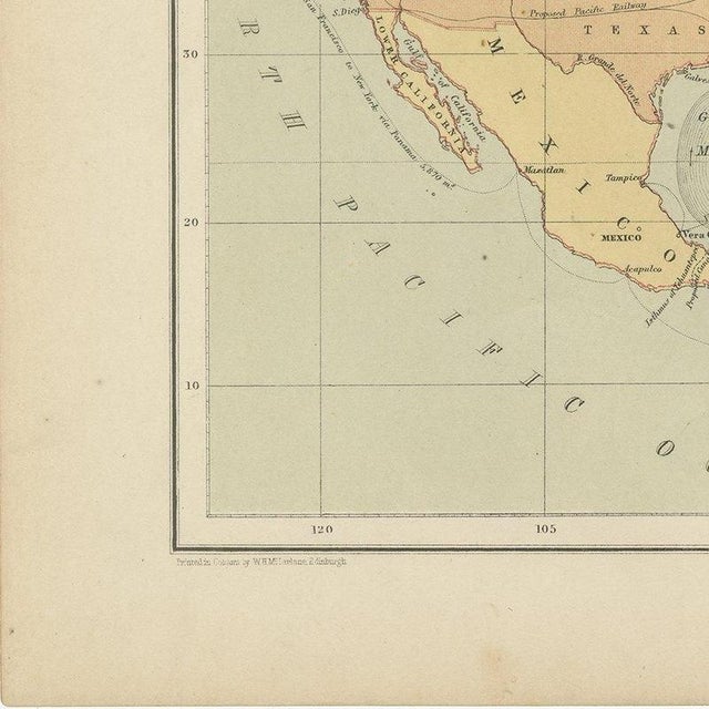
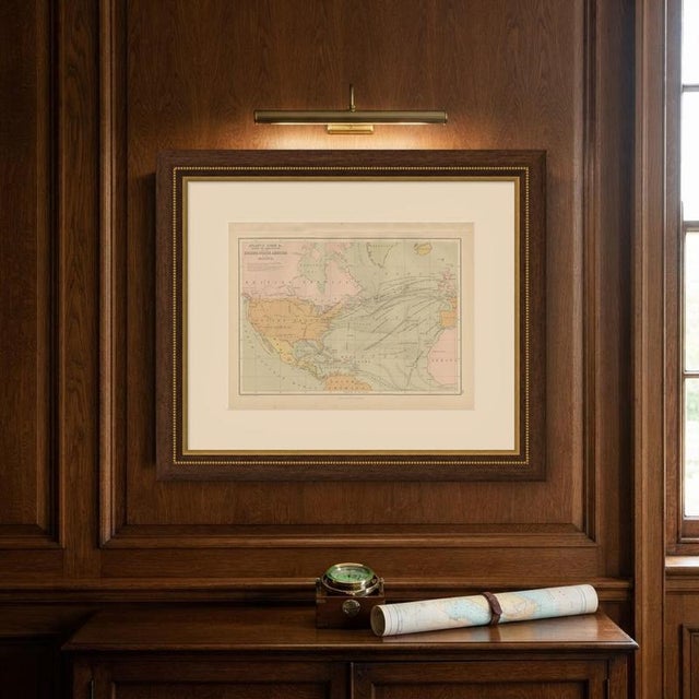
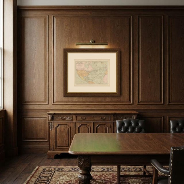
A chart of the Atlantic Ocean, titled on the plate as shewing the communication between Europe, North America and the … Read more A chart of the Atlantic Ocean, titled on the plate as shewing the communication between Europe, North America and the Pacific. It is a map of a journey rather than of a country: the whole ocean basin from Greenland, Hudson's Bay and Davis Strait in the north down past the West Indies, the Caribbean Sea and Central America to South America and the Cape Verde Islands, with Spain, London and the coast of Africa closing the eastern side. The tropic of Cancer is ruled across it and the meridians are numbered out from London. Charts of this kind were printed for a public that had just begun to cross the Atlantic by steam on a schedule, and they are collected today by people with a connection to that crossing. It frames well beside a map of either shore. Black's General Atlas of the World was the standard British household atlas of the middle nineteenth century, issued in Edinburgh by the publishing house of Adam and Charles Black, the firm better known to most readers as the publisher of Sir Walter Scott and of the Encyclopaedia Britannica. Its maps were engraved on steel, most of them under the direction of the Edinburgh cartographer John Bartholomew, whose clear lettering and restrained hill shading gave the atlas a legibility that its heavier rivals lacked. Successive issues were revised as boundaries moved and railways spread, so a sheet from Black's records the world as an educated Victorian reader understood it in the year the plate was printed. Sheets from this atlas are sought after today both as reference cartography and as decorative material, the generous folio format suiting a wall quite as readily as a portfolio. Hung as a pair or a group, the plates make a handsome and genuinely informative wall. The sheet is in good condition for its age, with light toning, a few small spots and light creasing in the upper margin; the map and its colour are clean. This is an original antique map, not a modern reproduction. This item is sold unframed. Any framed or interior images are shown for presentation and inspiration only, unless the listing explicitly states that the item is sold framed. See less
- Dimensions
- 17.72ʺW × 12.2ʺH
- Period
- 19th Century
- Country of Origin
- United Kingdom
- Item Type
- Vintage, Antique or Pre-owned
- Materials
- Paper
- Condition
- Good Condition, Unknown, Some Imperfections
- Color
- Black
- Condition Notes
- Very Good — This vintage item has no defects, but it may show slight traces of use\. Good condition for … moreVery Good — This vintage item has no defects, but it may show slight traces of use\. Good condition for its age. Light toning and a few small spots to the margins; light horizontal creasing in the upper margin. less
Returns & Cancellations
Return Policy - All sales are final 48 hours after delivery, unless otherwise specified in the description of the product.
Cancellation Policy - Prior to shipping or local pickup, buyers may cancel an order for up to 48 hours, unless otherwise specified.