





Details
Description
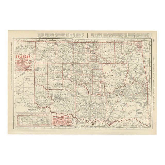
An antique map of Oklahoma and Indian Territory printed by Rand McNally in 1899, page 290 of the firm's indexed …
Read more
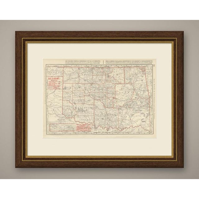
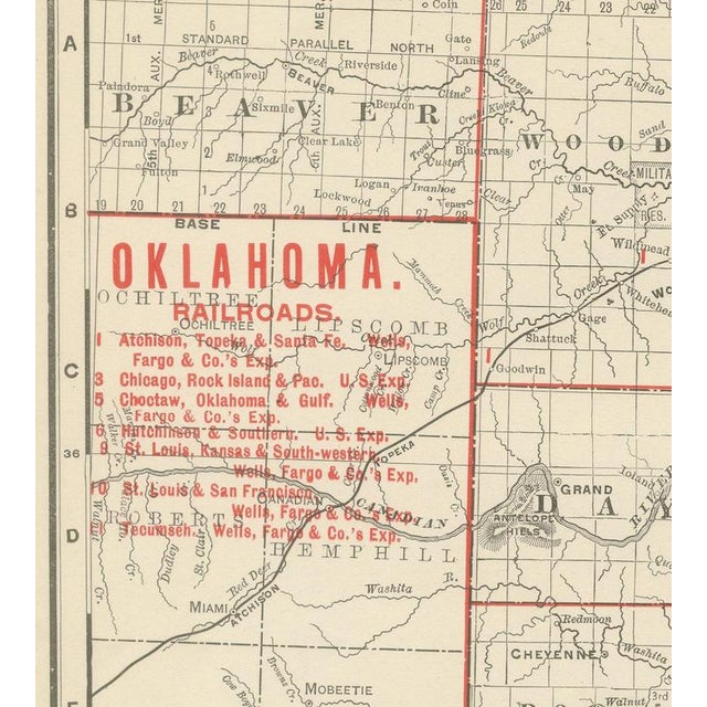
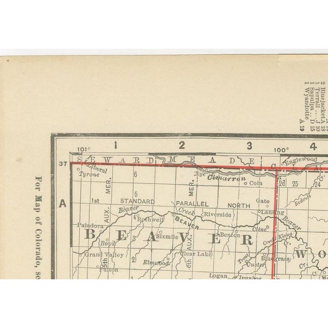
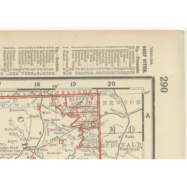
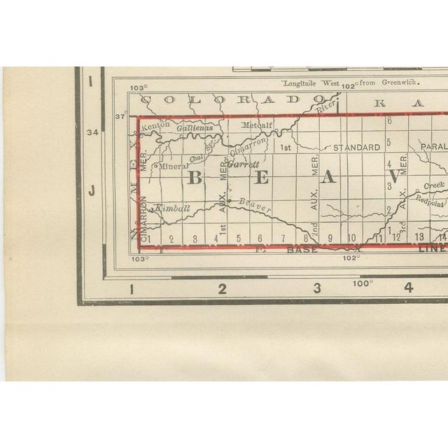
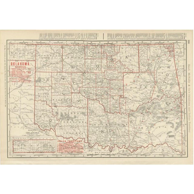
An antique map of Oklahoma and Indian Territory printed by Rand McNally in 1899, page 290 of the firm's indexed atlas, this sheet covers both territories on a single plate, the two occupying present-day Oklahoma before their 1907 merger into statehood. Oklahoma Territory, organised into named counties in the west, among them Woodward, Woods, Garfield, Blaine, Kingfisher, Oklahoma, Logan, Lincoln, Custer, Washita and Comanche, contrasts sharply with Indian Territory to the east, which carries no county grid at all and is instead labelled by the tribal nations governing it: Cherokee, Creek, Choctaw and, across the southern band, the combined "Chickasaws and Apaches" and "Kiowas and Comanches" country. A boxed inset at lower left, "Western Portion of Oklahoma," extends the Panhandle strip, labelled simply "Beaver," west to the New Mexico line, an area organised as its own county only shortly before this sheet was printed. Separate red railroad legends for Oklahoma and Indian Territory appear at upper left, with the Atchison, Topeka and Santa Fe, the Chicago, Rock Island and Pacific and the Saint Louis and San Francisco among the lines serving both, and Guthrie, the territorial capital, and the Indian Territory towns of Muskogee, Tahlequah and South McAlester named along the rail corridors. Scale is given for the western inset separately from the main map, and a note at upper left directs the reader to the adjoining Colorado, Kansas, Missouri, Arkansas, Texas and New Mexico sheets. More than most in the atlas, this sheet records a transitional political geography: two territories with entirely different systems of land tenure and government, mapped together only because they would shortly become a single state. Rand McNally, a Chicago firm that by the 1890s was one of the leading map publishers in the United States, revised its maps from issue to issue. This antique map of Oklahoma and Indian Territory is an original 1899 atlas sheet, printed as a colour lithograph with a black outline and the colours printed over it. It is suitable for framing. The colour is printed rather than applied by hand. The sheet is in good condition for its age, with light, even age toning, clean margins and minor handling wear to the sheet edges. Please review the images for further condition details. This is an original antique map, not a modern reproduction. This item is sold unframed. Any framed or interior images are shown for presentation and inspiration only, unless the listing explicitly states that the item is sold framed. This piece is attributed to the mentioned designer/maker. It has no attribution mark and no
official proof of authenticity,
however it is well documented in design history. I take full responsibility for any authenticity
issues arising from misattribution
See less
- Dimensions
- 20.47ʺW × 14.17ʺH
- Period
- 19th Century
- Item Type
- Vintage, Antique or Pre-owned
- Materials
- Paper
- Condition
- Good Condition, Unknown, Some Imperfections
- Color
- Black
- Condition Notes
- Very Good — This vintage item has no defects, but it may show slight traces of use\. Good condition for … moreVery Good — This vintage item has no defects, but it may show slight traces of use\. Good condition for its age. Light, even age toning, clean margins and minor handling wear to the sheet edges. Please review the images for further condition details. less
Returns & Cancellations
Return Policy - All sales are final 48 hours after delivery, unless otherwise specified in the description of the product.
Cancellation Policy - Prior to shipping or local pickup, buyers may cancel an order for up to 48 hours, unless otherwise specified.