



Details
Description
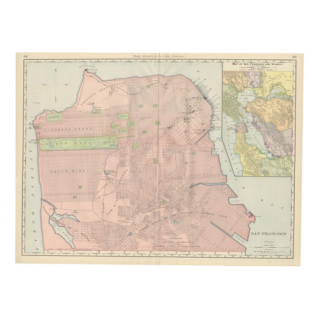
This antique map of San Francisco is Rand McNally's street plan of the city at the close of the nineteenth …
Read more
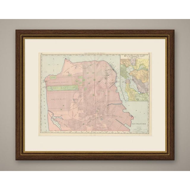
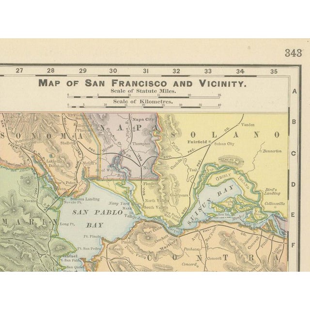
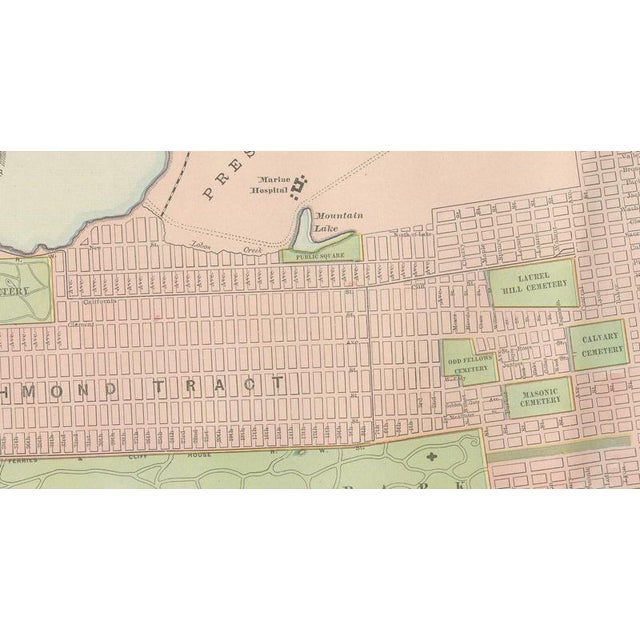
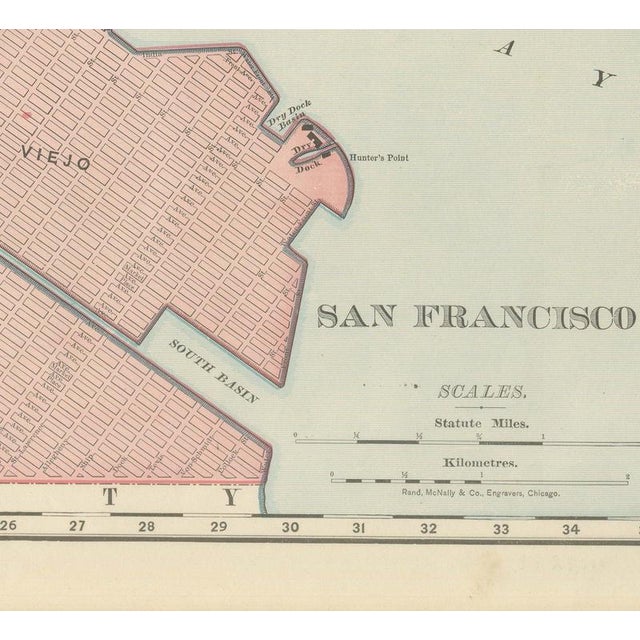
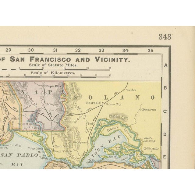
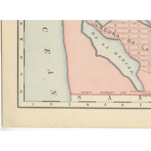
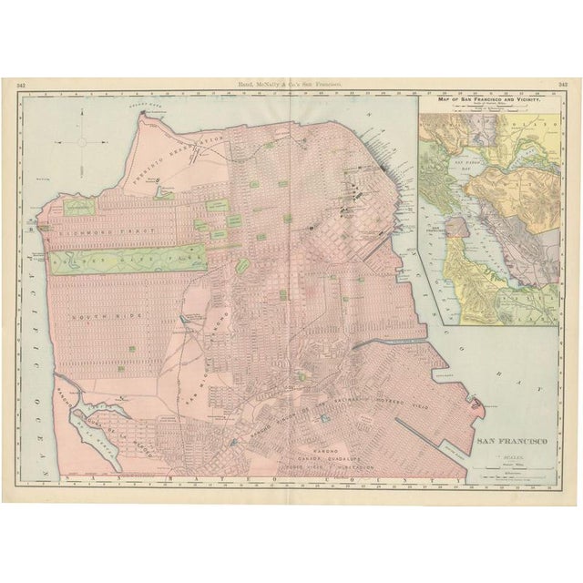
This antique map of San Francisco is Rand McNally's street plan of the city at the close of the nineteenth century, printed in 1899 across pages 342 and 343 of the firm's indexed atlas. It covers the whole peninsula from the Presidio Reservation and Golden Gate Park in the north and west to the Potrero, Islais Creek and the San Mateo County line in the south. Golden Gate Park, laid out only a few decades earlier on what had been open dune land, is shown fully planted and green, running in a long band from the Panhandle to the ocean, with the Laurel Hill, Calvary, Masonic and Odd Fellows cemeteries clustered together in the Richmond district. The old Spanish and Mexican rancho boundaries, Rancho San Miguel, Rancho Laguna de la Merced, Rancho Canada de Guadalupe la Visitacion y Rodeo Viejo and Rancho Rincon de las Salinas y Potrero Viejo, are still traced across the southern part of the city even though the American street grid had by 1899 been laid directly over them, an interesting overlay of two land-survey systems on one sheet. The built city, dense blocks washed pink from North Beach through the financial district and South of Market to the Mission, thins out markedly toward Visitacion Valley and the southern county line. An inset at upper right, "Map of San Francisco and Vicinity," pulls back to show the whole Bay Area, Marin, Sonoma, Napa, Solano, Contra Costa, Alameda (with Oakland named) and San Mateo counties, putting the city in regional context. Golden Gate Park, the cemeteries and the Presidio aside, this is very much a working city plan rather than a decorative map, its principal purpose the street-by-street index that gave the atlas its name. Rand McNally, a Chicago firm that by the 1890s was one of the leading map publishers in the United States, produced it as a colour lithograph, the outline printed in black with the colours printed over it. This antique map of San Francisco is an original 1899 sheet, issued folded through the centre and suitable for framing. The colour is printed rather than applied by hand. The sheet is in good condition for its age, with light age toning, a few small marks, a faint pencil note in the lower right margin and the original central fold as issued. Please review the images for further condition details. This is an original antique map, not a modern reproduction. This item is sold unframed. Any framed or interior images are shown for presentation and inspiration only, unless the listing explicitly states that the item is sold framed. This piece is attributed to the mentioned designer/maker. It has no attribution mark and no
official proof of authenticity,
however it is well documented in design history. I take full responsibility for any authenticity
issues arising from misattribution
See less
- Dimensions
- 27.17ʺW × 20.47ʺH
- Period
- 19th Century
- Item Type
- Vintage, Antique or Pre-owned
- Materials
- Paper
- Condition
- Good Condition, Unknown, Some Imperfections
- Color
- Black
- Condition Notes
- Very Good — This vintage item has no defects, but it may show slight traces of use\. Good condition for … moreVery Good — This vintage item has no defects, but it may show slight traces of use\. Good condition for its age. Light age toning, a few small marks, a faint pencil note in the lower right margin and the original central fold as issued. Please review the images for further condition details. less
Returns & Cancellations
Return Policy - All sales are final 48 hours after delivery, unless otherwise specified in the description of the product.
Cancellation Policy - Prior to shipping or local pickup, buyers may cancel an order for up to 48 hours, unless otherwise specified.