

Details
Description
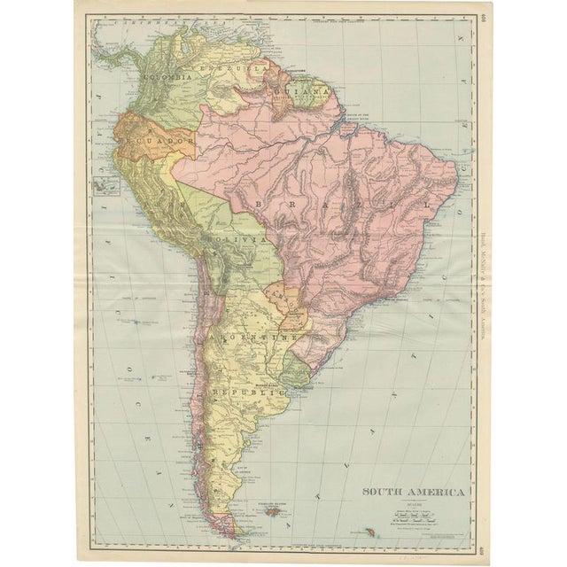
This antique map of South America, printed by Rand McNally in 1899 across pages 408 and 409 of its indexed …
Read more
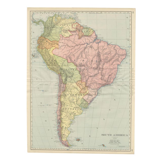
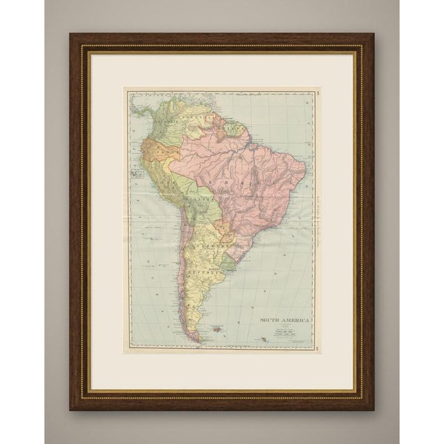
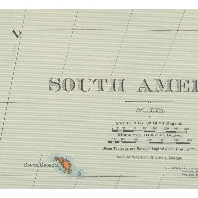
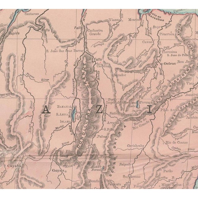
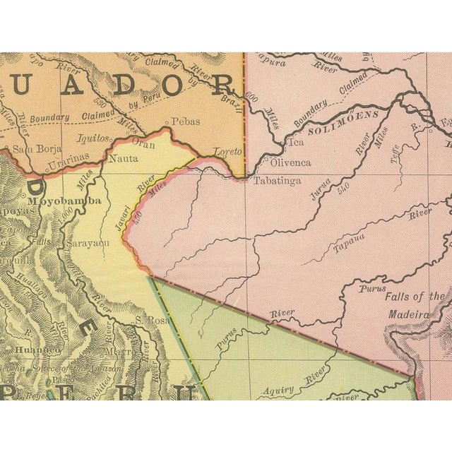
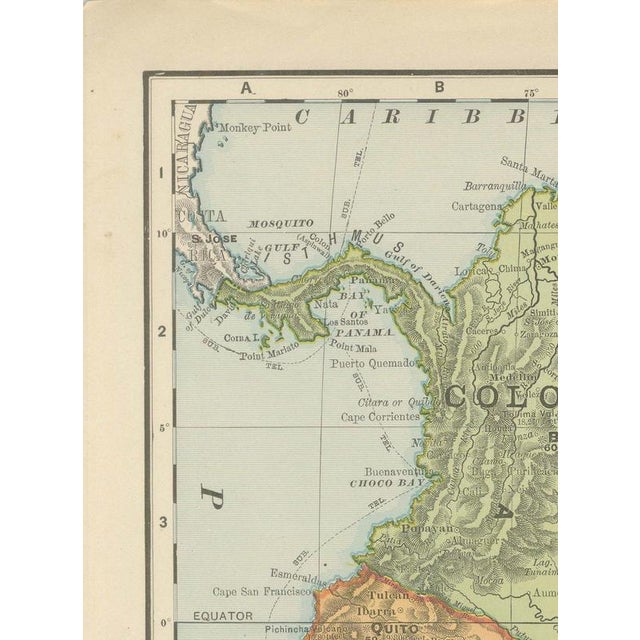
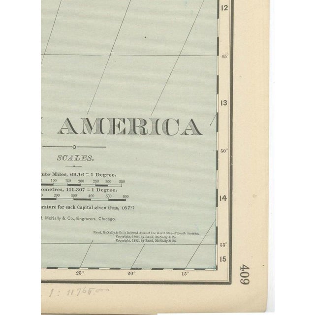
This antique map of South America, printed by Rand McNally in 1899 across pages 408 and 409 of its indexed atlas, runs the length of the continent from the Caribbean coast of Colombia and Venezuela to Tierra del Fuego and the Strait of Magellan, with the Falkland Islands set in a box at lower right. Each republic is washed in its own pastel colour: Brazil in pink, the Argentine Republic in pale yellow, Peru in olive, Bolivia in green and Chile in a narrow pink strip down the Pacific coast, with Ecuador, Colombia, Venezuela, the three Guianas (British, Dutch and French, each tinted separately), Paraguay and Uruguay all distinguished along the northern and eastern coasts. The Amazon and its principal tributaries, the Rio Negro, Madeira, Tapajos and Xingu, are traced across Brazil in fine line work, and the Andean cordillera down the western edge is rendered in continuous hachured relief from Colombia to Cape Horn. A small inset at left maps the Galapagos Islands to the same conventions as the mainland. Rio de Janeiro, Buenos Ayres, Montevideo and the other principal capitals are marked along the coast, with interior towns and rail lines comparatively sparse, a fair reflection of how little of the interior had been surveyed by 1899 outside the coastal republics. Scale is given as 69.16 statute miles to a degree, with a kilometre scale, and a small table records mean temperatures for each capital, a feature the firm included on several of its continental plates in this edition. Rand McNally grew from a Chicago printing business started in the 1850s by William Rand and joined by Andrew McNally, and by the 1890s it was one of the leading map publishers in the United States. This antique map of South America is an original 1899 colour lithograph, with the outline printed in black and the original colours printed over it, issued folded through the centre and suitable for framing. The colour is printed rather than applied by hand. The sheet is in good condition for its age, with light age toning, deeper toward the edges, a faint pencil note in the lower margin, light creasing near the original central fold as issued. Please review the images for further condition details. This is an original antique map, not a modern reproduction. This item is sold unframed. Any framed or interior images are shown for presentation and inspiration only, unless the listing explicitly states that the item is sold framed. This piece is attributed to the mentioned designer/maker. It has no attribution mark and no
official proof of authenticity,
however it is well documented in design history. I take full responsibility for any authenticity
issues arising from misattribution
See less
- Dimensions
- 20.47ʺW × 27.17ʺH
- Period
- 19th Century
- Item Type
- Vintage, Antique or Pre-owned
- Materials
- Paper
- Condition
- Good Condition, Unknown, Some Imperfections
- Color
- Black
- Condition Notes
- Very Good — This vintage item has no defects, but it may show slight traces of use\. Good condition for … moreVery Good — This vintage item has no defects, but it may show slight traces of use\. Good condition for its age. Light age toning, deeper toward the edges, a faint pencil note in the lower margin, light creasing near the original central fold as issued. Please review the images for further condition details. less
Returns & Cancellations
Return Policy - All sales are final 48 hours after delivery, unless otherwise specified in the description of the product.
Cancellation Policy - Prior to shipping or local pickup, buyers may cancel an order for up to 48 hours, unless otherwise specified.