





Details
Description
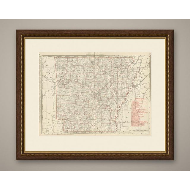
This antique map of Arkansas, published by Rand McNally in 1899 as a double-page sheet in its indexed atlas, shows …
Read more
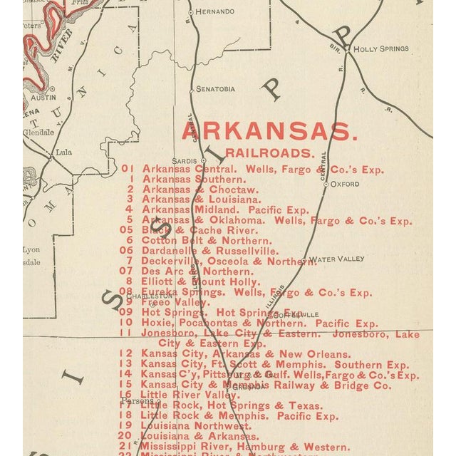
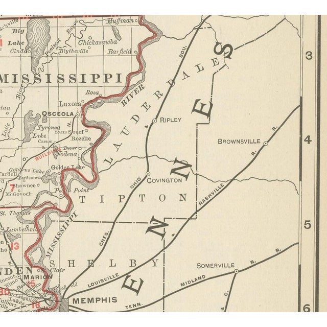
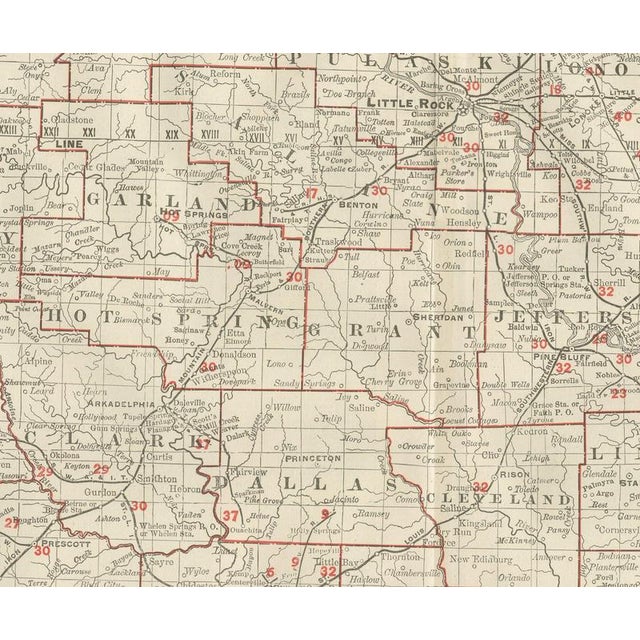
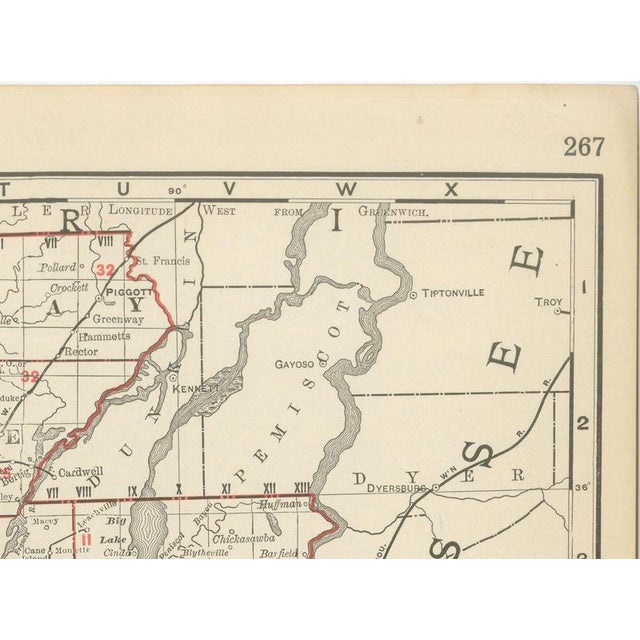
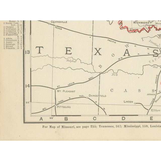
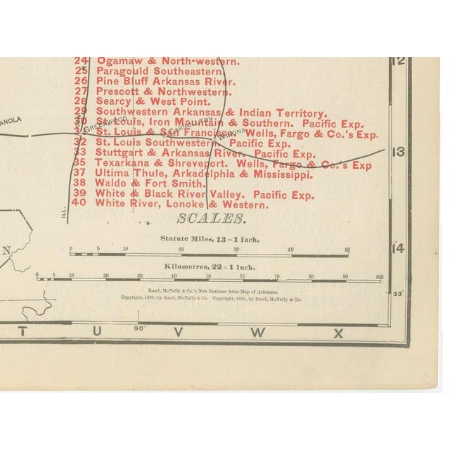
This antique map of Arkansas, published by Rand McNally in 1899 as a double-page sheet in its indexed atlas, shows the state in full, county by county, with every county named and its seat marked, and with the Mississippi River forming the ragged eastern boundary against Tennessee and Mississippi. The Indian Territory lies immediately to the west, left largely bare of the county detail given to Arkansas itself, a plain visual reminder that it was not yet organised into states. Little Rock is marked at the centre of the state on the Arkansas River, and the lines radiating from it and from Fort Smith, Pine Bluff and Texarkana show how thoroughly the railroads had reached the state by the 1890s. A numbered key running to roughly forty companies ties each line to its owner, from the larger systems such as the Saint Louis, Iron Mountain and Southern down to short local roads serving the timber and cotton country of the south and east. A scale bar and the atlas's cross-reference page numbers sit along the lower margin, tying this sheet to the adjoining plates for Missouri, Louisiana and the Indian Territory that a purchaser of the full atlas would consult alongside it. Rand McNally grew from a Chicago printing business started in the 1850s by William Rand and joined by Andrew McNally; by the 1890s it was among the leading map publishers in the United States, known for railroad and commercial maps revised from issue to issue. The map is a colour lithograph, the process the firm used for its indexed atlas: the outline printed in black, with the county tints, the pink of the railroad ribbons and the pale washes distinguishing Arkansas from its neighbours printed in colour over it. This antique map of Arkansas is an original 1899 sheet, issued folded through the centre and suitable for framing. The colour is printed rather than applied by hand. The sheet is in good condition for its age, with light age toning, a few small spots in the margins and the original central fold as issued. Please review the images for further condition details. This is an original antique map, not a modern reproduction. This item is sold unframed. Any framed or interior images are shown for presentation and inspiration only, unless the listing explicitly states that the item is sold framed. This piece is attributed to the mentioned designer/maker. It has no attribution mark and no
official proof of authenticity,
however it is well documented in design history. I take full responsibility for any authenticity
issues arising from misattribution
See less
- Dimensions
- 27.17ʺW × 20.47ʺH
- Period
- 19th Century
- Item Type
- Vintage, Antique or Pre-owned
- Materials
- Paper
- Condition
- Good Condition, Unknown, Some Imperfections
- Color
- Black
- Condition Notes
- Very Good — This vintage item has no defects, but it may show slight traces of use\. Light age toning, … moreVery Good — This vintage item has no defects, but it may show slight traces of use\. Light age toning, a few small spots in the margins and the original central fold as issued less
Returns & Cancellations
Return Policy - All sales are final 48 hours after delivery, unless otherwise specified in the description of the product.
Cancellation Policy - Prior to shipping or local pickup, buyers may cancel an order for up to 48 hours, unless otherwise specified.