




Details
Description
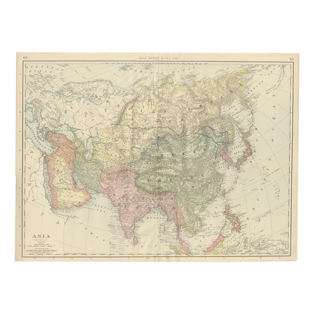
An antique map of Asia printed by Rand McNally in 1899, this double-page spread on pages 416 and 417 of …
Read more
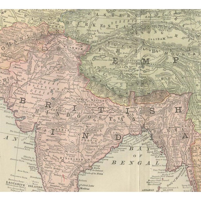
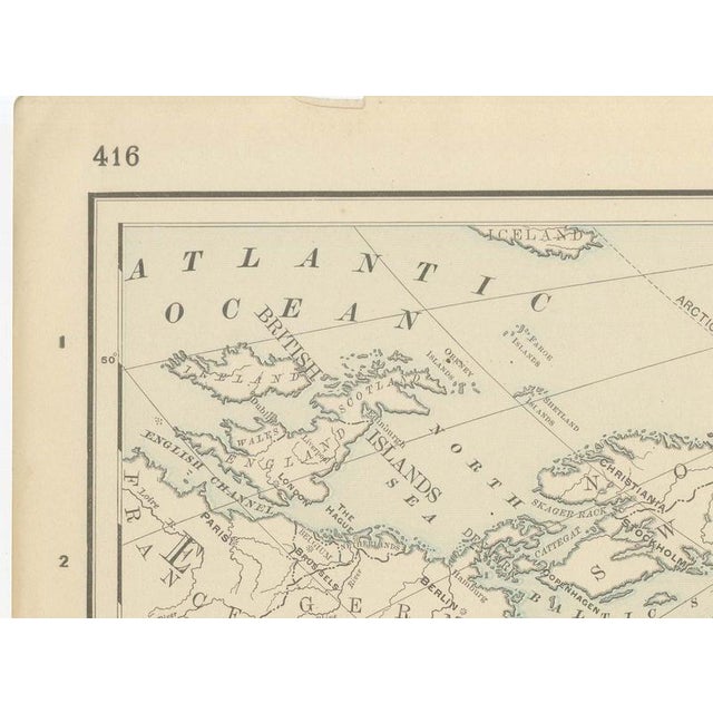
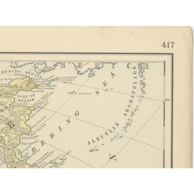
An antique map of Asia printed by Rand McNally in 1899, this double-page spread on pages 416 and 417 of the firm's indexed atlas shows the whole continent from the Ural Mountains and the Arabian Peninsula in the west to Japan, Korea and the Philippine Islands in the east, and from the Arctic Ocean to British India, Indochina and the Dutch East Indies in the south. Political territory is distinguished in pastel washes: the Siberian possessions of the Russian Empire in pale yellow-tan across the northern tier, the Chinese Empire in sage green through Mongolia, Manchuria, Tibet and China proper, British India in pink, Persia, Arabia and Asiatic Turkey in ochre and rose, and Japan in pink at the eastern edge. The Trans-Siberian Railway is traced as a single line across Russian territory from the Urals to the Pacific, still under construction when this sheet was printed (the line was not completed until 1904), so the map records it well before most general atlas readers were used to seeing it in print. The recently opened Chinese treaty ports and the provinces and princely states of British India are named throughout in the fine lettering typical of the period. At lower right the Philippine Islands sit at the edge of the sheet, already labelled as a United States possession following their 1898 cession, a detail that places this printing squarely in the months just after the Treaty of Paris. The map carries a scale of 300 statute miles to the inch and the standard scale bars at lower left. Rand McNally, which grew from a Chicago printing business begun by William Rand in the 1850s and joined by Andrew McNally, was by the 1890s one of the leading map publishers in the United States. This antique map of Asia is a colour lithograph, the outline printed in black with the original colours printed over it, and an original 1899 atlas sheet, issued folded through the centre and suitable for framing. The colour is printed rather than applied by hand. The sheet is in good condition for its age, with light age toning, deeper toward the edges, a small chip to the upper edge near the centre, minor edge wear and the original central fold as issued. Please review the images for further condition details. This is an original antique map, not a modern reproduction. This item is sold unframed. Any framed or interior images are shown for presentation and inspiration only, unless the listing explicitly states that the item is sold framed. This piece is attributed to the mentioned designer/maker. It has no attribution mark and no
official proof of authenticity,
however it is well documented in design history. I take full responsibility for any authenticity
issues arising from misattribution
See less
- Dimensions
- 27.17ʺW × 20.47ʺH
- Period
- 19th Century
- Item Type
- Vintage, Antique or Pre-owned
- Materials
- Paper
- Condition
- Good Condition, Unknown, Some Imperfections
- Color
- Black
- Condition Notes
- Very Good — This vintage item has no defects, but it may show slight traces of use\. Good condition for … moreVery Good — This vintage item has no defects, but it may show slight traces of use\. Good condition for its age. Light age toning, deeper toward the edges, a small chip to the upper edge near the centre, minor edge wear and the original central fold as issued. Please review the images for further condition details. less
Returns & Cancellations
Return Policy - All sales are final 48 hours after delivery, unless otherwise specified in the description of the product.
Cancellation Policy - Prior to shipping or local pickup, buyers may cancel an order for up to 48 hours, unless otherwise specified.