






Details
Description
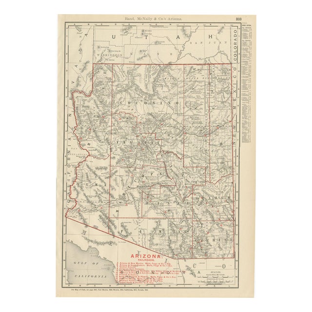
Rand McNally's antique map of Arizona, from page 333 of the firm's 1899 indexed atlas, shows the Territory of Arizona …
Read more
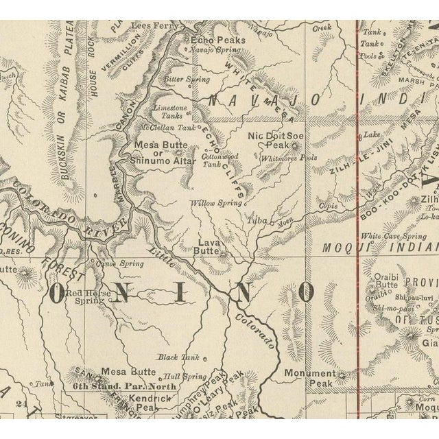
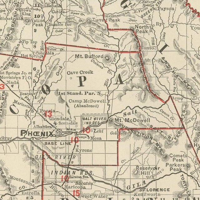
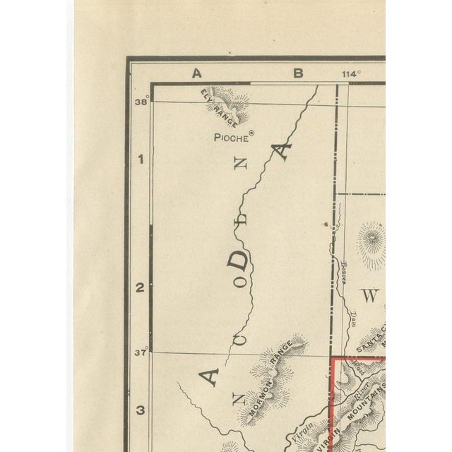
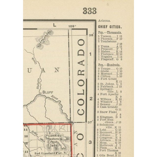
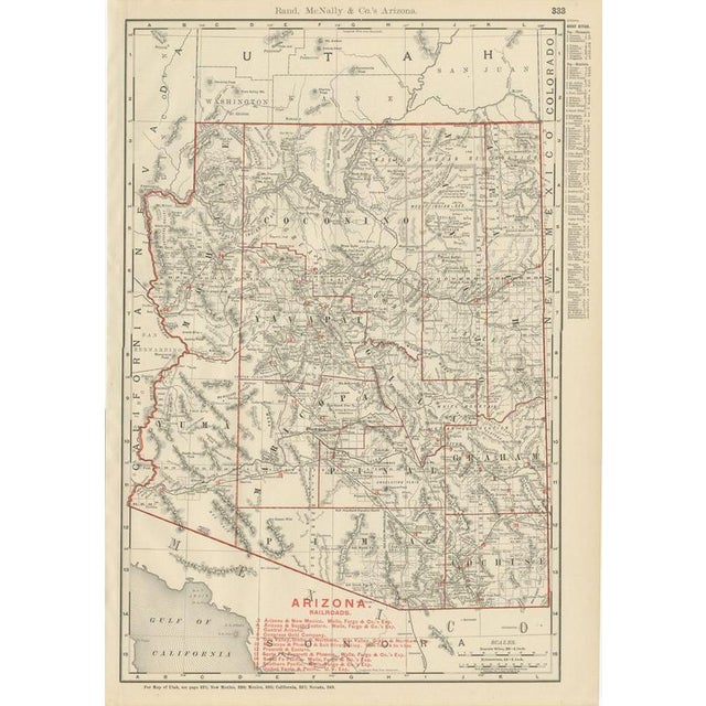
Rand McNally's antique map of Arizona, from page 333 of the firm's 1899 indexed atlas, shows the Territory of Arizona county by county, statehood not coming until 1912: Mohave and Yuma along the Colorado River in the west, Coconino across the Colorado Plateau in the north, Yavapai, Maricopa and Pinal through the centre, and Graham, Pima and Cochise across the south. The Grand Canyon of the Colorado is traced across Coconino County, though without the place-name detail a dedicated Grand Canyon map would carry, and the Navajo Indian Reservation, with the Moqui, that is Hopi, Indian Reservation nested within it, occupies the entire northeastern quarter. The White Mountain Apache reservation is outlined in the east, and Phoenix, in Maricopa County, sits at the centre of a red railroad network keyed to a legend of some sixteen companies at lower right, including the Arizona and New Mexico, the Maricopa and Phoenix and Salt River Valley, the Santa Fe, Prescott and Phoenix, and the Southern Pacific main line crossing the southern counties through Tucson and Yuma. Mining camps, Tombstone, Bisbee, Globe, Jerome and the United Verde district among them, are named along their spur lines, a fair reflection of how copper and silver mining, rather than agriculture, drove the territory's rail development. Mountain and desert relief is rendered throughout in dense hachured shading, with named peaks, washes and desert plains, the Painted Desert, the Yuma Desert and the country south of Tucson, recorded in considerable detail even where settlements are few. Scale is given as 28 statute miles to the inch, and a note directs the reader to the adjoining Utah, New Mexico, Mexico, California and Nevada maps. Rand McNally, one of the leading map publishers in the United States by the 1890s, revised its maps from issue to issue. This antique map of Arizona is an original 1899 colour lithograph, with a black outline and the colours printed over it, and it is suitable for framing. The colour is printed rather than applied by hand. The sheet is in good condition for its age, with light age toning, a few small spots in the margins and minor wear to the sheet edges. Please review the images for further condition details. This is an original antique map, not a modern reproduction. This item is sold unframed. Any framed or interior images are shown for presentation and inspiration only, unless the listing explicitly states that the item is sold framed. This piece is attributed to the mentioned designer/maker. It has no attribution mark and no
official proof of authenticity,
however it is well documented in design history. I take full responsibility for any authenticity
issues arising from misattribution
See less
- Dimensions
- 14.17ʺW × 20.47ʺH
- Period
- 19th Century
- Item Type
- Vintage, Antique or Pre-owned
- Materials
- Paper
- Condition
- Good Condition, Unknown, Some Imperfections
- Color
- Black
- Condition Notes
- Very Good — This vintage item has no defects, but it may show slight traces of use\. Good condition for … moreVery Good — This vintage item has no defects, but it may show slight traces of use\. Good condition for its age. Light age toning, a few small spots in the margins and minor wear to the sheet edges. Please review the images for further condition details. less
Returns & Cancellations
Return Policy - All sales are final 48 hours after delivery, unless otherwise specified in the description of the product.
Cancellation Policy - Prior to shipping or local pickup, buyers may cancel an order for up to 48 hours, unless otherwise specified.