




Details
Description
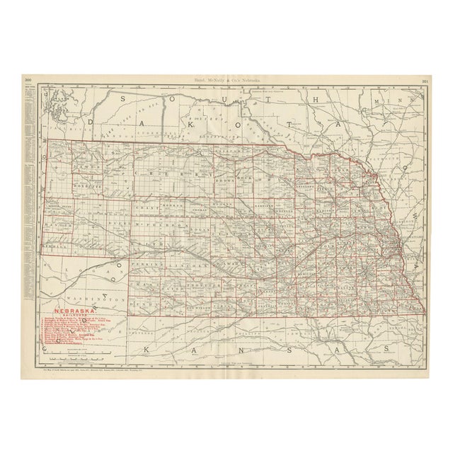
This antique map of Nebraska comes from Rand McNally's indexed atlas of 1899, where it spans pages 300 and 301, …
Read more
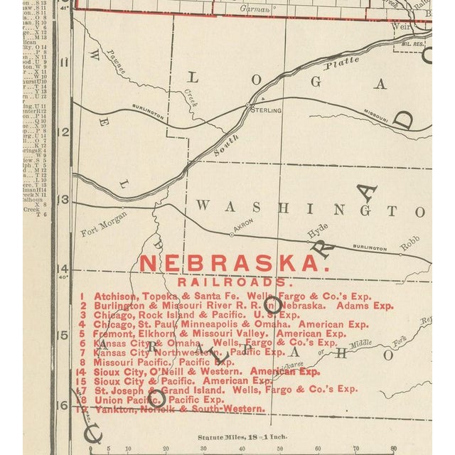
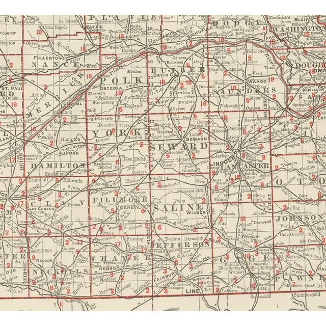
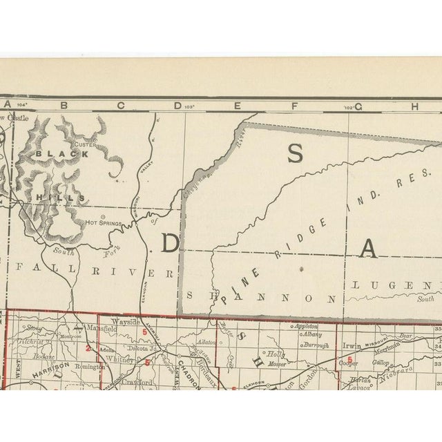
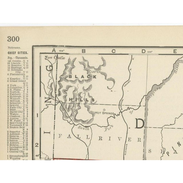
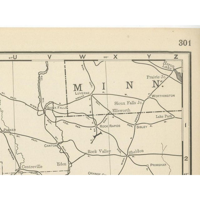
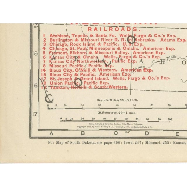
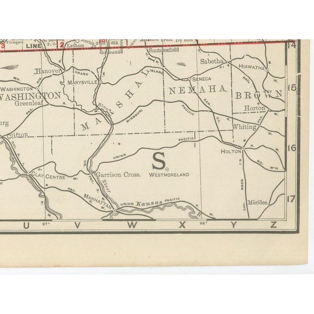
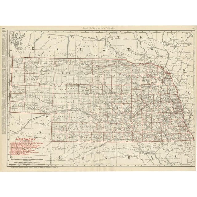
This antique map of Nebraska comes from Rand McNally's indexed atlas of 1899, where it spans pages 300 and 301, and it shows the state's full county grid, from Sioux, Dawes and Box Butte in the northwest panhandle, adjoining the Black Hills of South Dakota just across the border, to Richardson and Nemaha in the extreme southeast corner on the Missouri River. South Dakota fills the top of the sheet, with the Pine Ridge and Rosebud Sioux reservations outlined and named along the state line, boundaries established only a decade or so before this sheet was printed and still comparatively recent history in 1899. A red-numbered railroad legend at lower left lists close to twenty companies, among them the Atchison, Topeka and Santa Fe, the Burlington and Missouri River, the Chicago, Rock Island and Pacific, the Fremont, Elkhorn and Missouri Valley, the Sioux City and Pacific and the Union Pacific, tracing a network that by this date reached nearly every county, a fair reflection of how thoroughly the Plains had been settled within a single generation of the Homestead Act. The Platte River and its North and South forks run the width of the sheet, with the survey township grid laid across the entire state regardless of settlement density. The western third, Cherry, Grant, Hooker, Thomas and the other Sandhills counties, carries comparatively few named settlements, an accurate record of that region's late and thin settlement compared with the river valleys to the east. Scale is given as 18 statute miles to the inch, and a note directs the reader to the adjoining South Dakota, Iowa, Missouri, Kansas, Colorado and Wyoming sheets. Rand McNally, by the 1890s one of the leading map publishers in the United States, built its reputation on railroad and commercial maps of this kind. This antique map of Nebraska is an original 1899 atlas sheet: a colour lithograph with the outline printed in black and the colours printed over it, issued folded through the centre and suitable for framing. The colour is printed rather than applied by hand. The sheet is in good condition for its age, with light, even age toning, minor handling wear to the sheet edges and the original central fold as issued. Please review the images for further condition details. This is an original antique map, not a modern reproduction. This item is sold unframed. Any framed or interior images are shown for presentation and inspiration only, unless the listing explicitly states that the item is sold framed. This piece is attributed to the mentioned designer/maker. It has no attribution mark and no
official proof of authenticity,
however it is well documented in design history. I take full responsibility for any authenticity
issues arising from misattribution
See less
- Dimensions
- 27.17ʺW × 20.47ʺH
- Period
- 19th Century
- Item Type
- Vintage, Antique or Pre-owned
- Materials
- Paper
- Condition
- Good Condition, Unknown, Some Imperfections
- Color
- Black
- Condition Notes
- Very Good — This vintage item has no defects, but it may show slight traces of use\. Light, even age … moreVery Good — This vintage item has no defects, but it may show slight traces of use\. Light, even age toning, minor handling wear to the sheet edges and the original central fold as issued less
Returns & Cancellations
Return Policy - All sales are final 48 hours after delivery, unless otherwise specified in the description of the product.
Cancellation Policy - Prior to shipping or local pickup, buyers may cancel an order for up to 48 hours, unless otherwise specified.