





Details
Description
Rand McNally's antique map of the West Indies, printed in 1899 on page 401 of the firm's indexed atlas, shows …
Read more
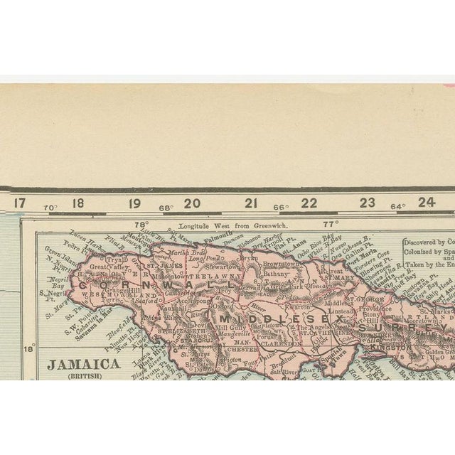
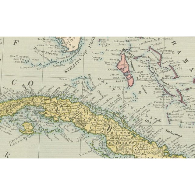
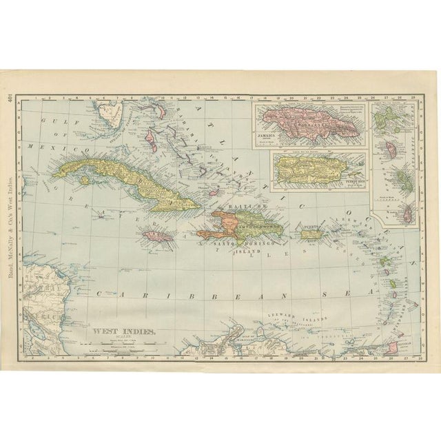
Rand McNally's antique map of the West Indies, printed in 1899 on page 401 of the firm's indexed atlas, shows the whole Caribbean basin from the Bahamas and the Straits of Florida in the north to Trinidad and the Venezuelan coast in the south, and from the Yucatan Channel east to the Lesser Antilles. Cuba, shown in yellow across the top of the sheet, and Puerto Rico, labelled as a United States possession both on the main map and in an enlarged inset at upper right, record the immediate aftermath of the Spanish-American War. Cuba is mapped under its old Spanish-era provinces (Pinar del Rio, Havana, Matanzas, Santa Clara, Puerto Principe, Santiago de Cuba) pending the American occupation government, while the new status of Puerto Rico as United States territory is stated outright on the map. The island of Santo Domingo is divided, as it was in fact, between the orange-tinted Republic of Haiti in the west and the green-tinted Dominican Republic, labelled "Santo Domingo," in the east, with Port-au-Prince and Santo Domingo City marked. A second inset, matching Jamaica to the same enlarged scale as Puerto Rico, sits alongside it at upper right, and a stack of small insets along the right margin carries Dominica, Martinique and Santa Lucia in the Lesser Antilles, distinguishing British, French and other colonial holdings by colour. Scale is given as 100 statute miles to the inch, and the extensive reef, cay and shoal detail across the Bahama Banks and the approaches to Cuba reflects the chart-derived hydrographic sources drawn on for the firm's maritime sheets. Taken together with the Puerto Rico and Philippines and the Central America plates in the same atlas, the sheet shows the firm bringing its standard atlas format, within months, to the territories the United States had just acquired. Rand McNally grew from a Chicago printing business started in the 1850s by William Rand and joined by Andrew McNally, and by the 1890s it was one of the leading map publishers in the United States. This antique map of the West Indies is an original 1899 colour lithograph, with the outline printed in black and the colours printed over it, and it is suitable for framing. The colour is printed rather than applied by hand. The sheet is in good condition for its age, with light age toning, deeper toward the edges, a small crease to the upper left corner and minor edge wear. Please review the images for further condition details. This is an original antique map, not a modern reproduction. This item is sold unframed. Any framed or interior images are shown for presentation and inspiration only, unless the listing explicitly states that the item is sold framed. This piece is attributed to the mentioned designer/maker. It has no attribution mark and no
official proof of authenticity,
however it is well documented in design history. I take full responsibility for any authenticity
issues arising from misattribution
See less
- Dimensions
- 20.47ʺW × 14.17ʺH
- Period
- 19th Century
- Item Type
- Vintage, Antique or Pre-owned
- Materials
- Paper
- Condition
- Good Condition, Unknown, Some Imperfections
- Color
- Black
- Condition Notes
- Very Good — This vintage item has no defects, but it may show slight traces of use\. Light age toning, … moreVery Good — This vintage item has no defects, but it may show slight traces of use\. Light age toning, deeper toward the edges, a small crease to the upper left corner and minor edge wear less
Returns & Cancellations
Return Policy - All sales are final 48 hours after delivery, unless otherwise specified in the description of the product.
Cancellation Policy - Prior to shipping or local pickup, buyers may cancel an order for up to 48 hours, unless otherwise specified.