




Details
Description
Rand McNally's antique map of Utah, published in Chicago in 1899 on page 321 of the firm's indexed atlas, shows …
Read more
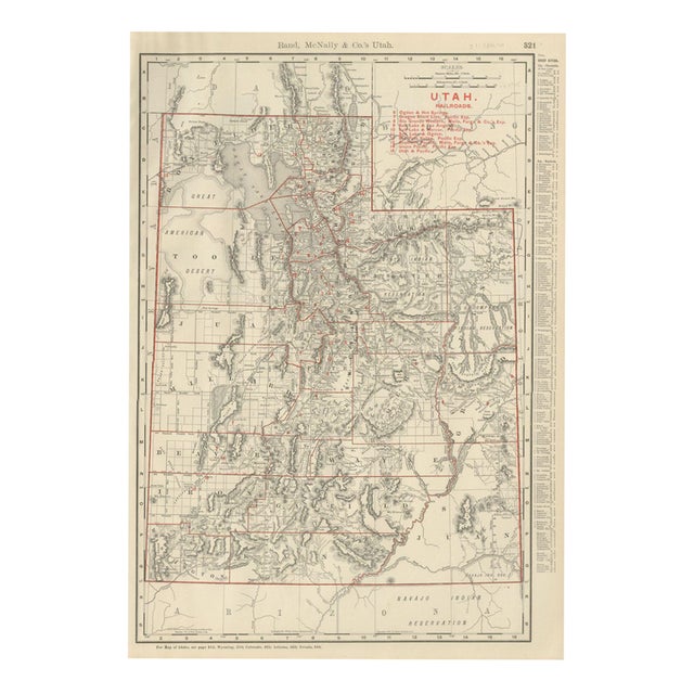
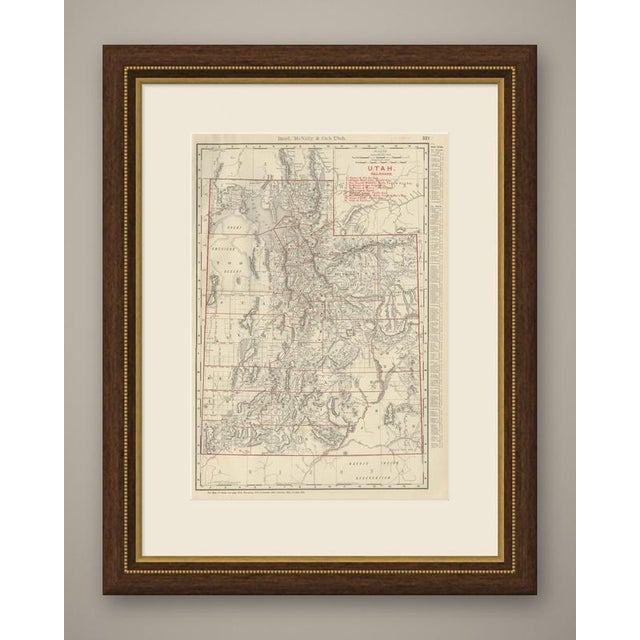
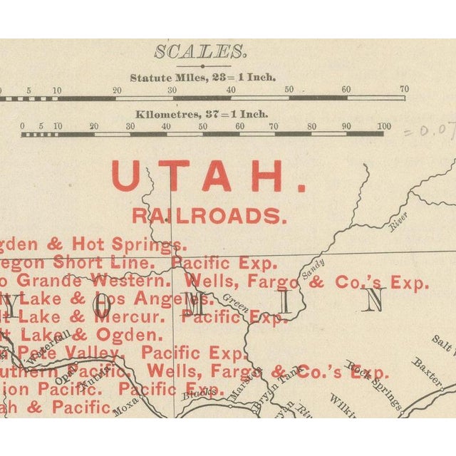
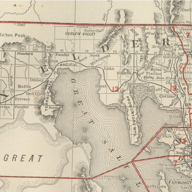
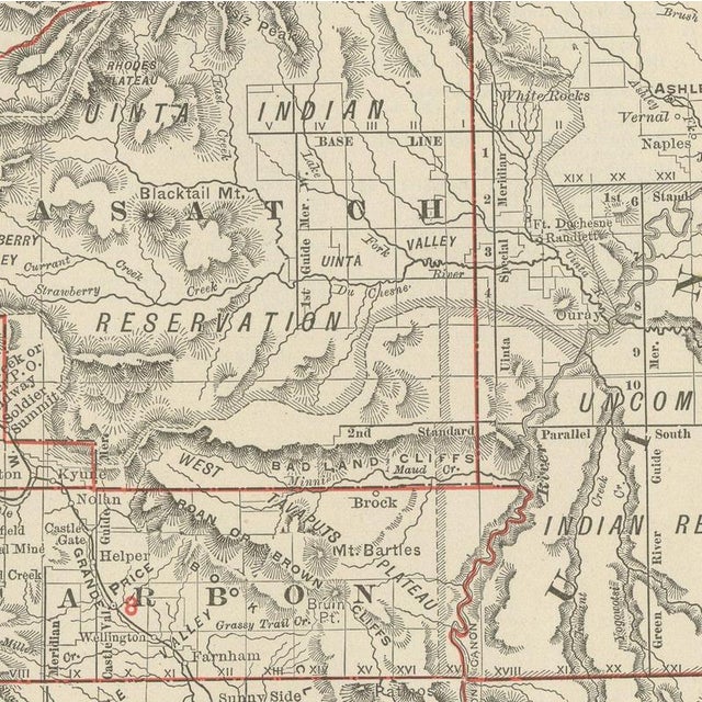
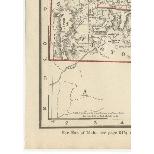
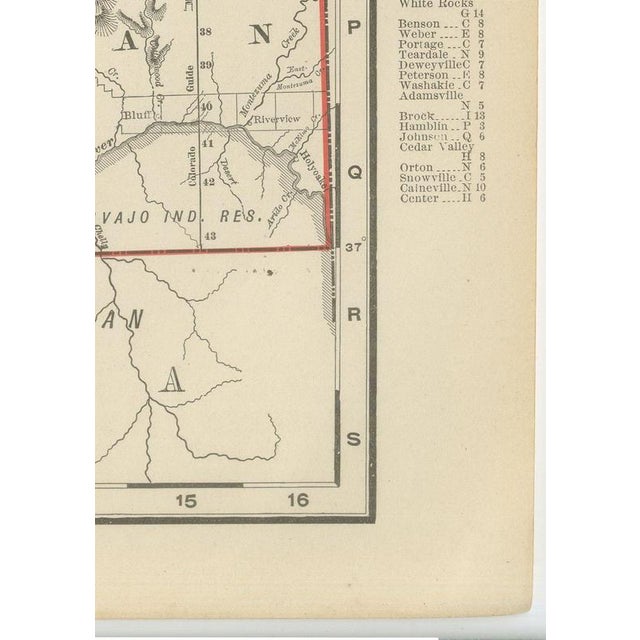
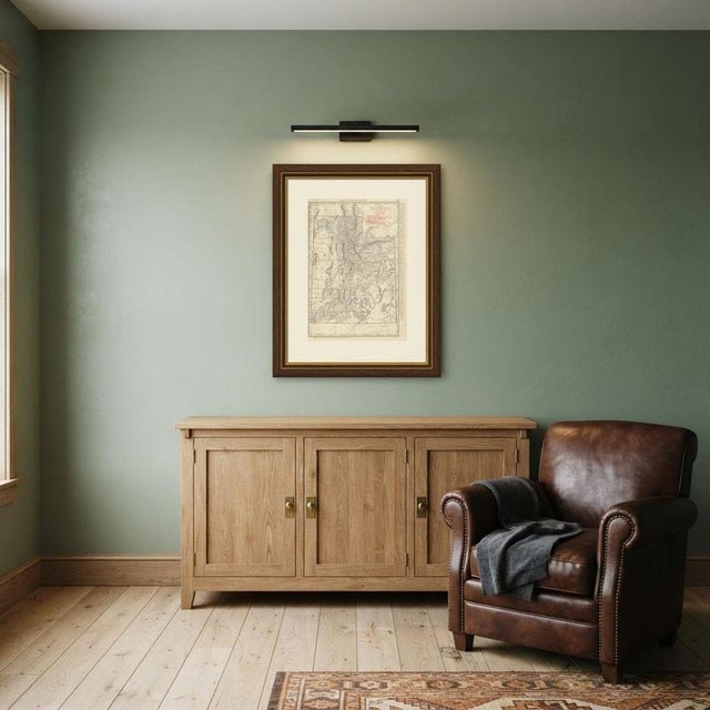
Rand McNally's antique map of Utah, published in Chicago in 1899 on page 321 of the firm's indexed atlas, shows the state county by county, from Box Elder, Cache and Rich in the north to Washington and Kane counties along the Arizona border in the south. The Great Salt Lake and the surrounding desert, the American Fork Desert and the Great Salt Lake Desert to the west, dominate the upper half of the sheet in dense hachured relief, while Salt Lake City and the string of settlements along the Wasatch Front, Ogden, Provo and Logan, are shown in markedly denser detail than the sparsely settled desert counties to the west and south. The Uintah, Uncompahgre and Navajo Indian reservations are outlined across the eastern and southern parts of the state, and a red-numbered railroad key at upper right lists nine companies, among them the Oregon Short Line, the Rio Grande Western, the Union Pacific and the Utah and Pacific, with several short branch lines serving the Mercur and other mining districts, each keyed by number across the map. Utah's irrigated valley agriculture is implied by the density of named settlements along the base of the Wasatch Range, in sharp contrast to the canyon country of San Juan and Garfield counties in the southeast, which carries comparatively few place names. Scale is given as 25 statute miles to the inch, with a kilometre bar in the same box as the railroad legend. A note at the foot directs the reader to the adjoining Idaho, Wyoming, Colorado, Arizona and Nevada maps, and a population table for the chief cities runs down the right margin. Rand McNally grew from William Rand's Chicago printing business of the 1850s, joined by Andrew McNally, into one of the leading American map publishers of the 1890s. This antique map of Utah is an original 1899 colour lithograph, with the outline printed in black and the colours printed over it, and it is suitable for framing. The colour is printed rather than applied by hand. The sheet is in good condition for its age, with light age toning, faint pencil annotations in the upper margin and within the map, and minor wear to the sheet edges. Please review the images for further condition details. This is an original antique map, not a modern reproduction. This item is sold unframed. Any framed or interior images are shown for presentation and inspiration only, unless the listing explicitly states that the item is sold framed. This piece is attributed to the mentioned designer/maker. It has no attribution mark and no
official proof of authenticity,
however it is well documented in design history. I take full responsibility for any authenticity
issues arising from misattribution
See less
- Dimensions
- 14.17ʺW × 20.47ʺH
- Period
- 19th Century
- Item Type
- Vintage, Antique or Pre-owned
- Materials
- Paper
- Condition
- Good Condition, Unknown, Some Imperfections
- Color
- Black
- Condition Notes
- Very Good — This vintage item has no defects, but it may show slight traces of use\. Good condition for … moreVery Good — This vintage item has no defects, but it may show slight traces of use\. Good condition for its age. Light age toning, faint pencil annotations in the upper margin and within the map, and minor wear to the sheet edges. Please review the images for further condition details. less
Returns & Cancellations
Return Policy - All sales are final 48 hours after delivery, unless otherwise specified in the description of the product.
Cancellation Policy - Prior to shipping or local pickup, buyers may cancel an order for up to 48 hours, unless otherwise specified.