





Details
Description
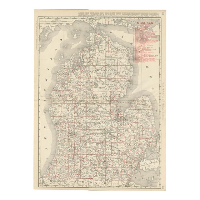
Published by Rand McNally in 1899, this antique map of Michigan covers the Lower Peninsula on a double-page sheet, pages …
Read more
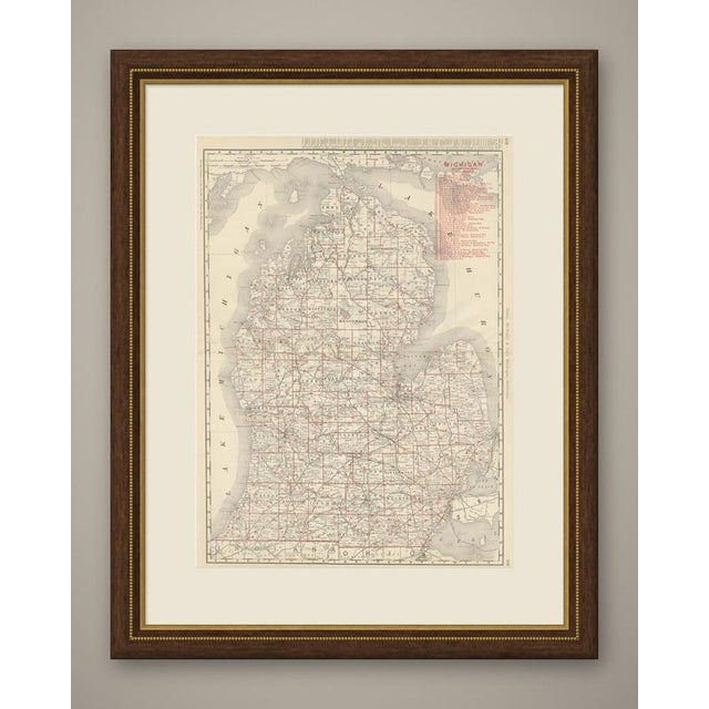
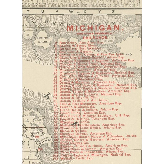
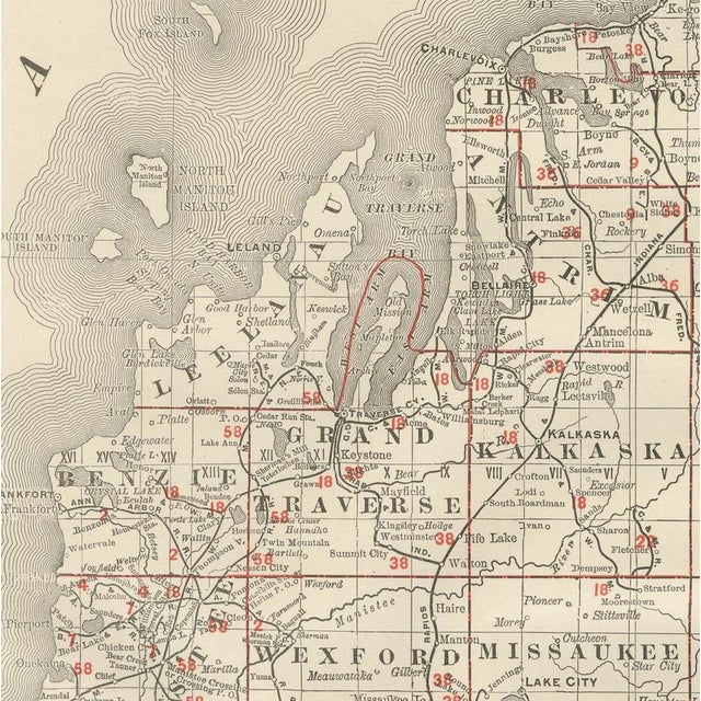
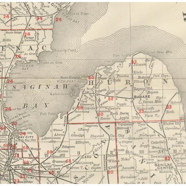
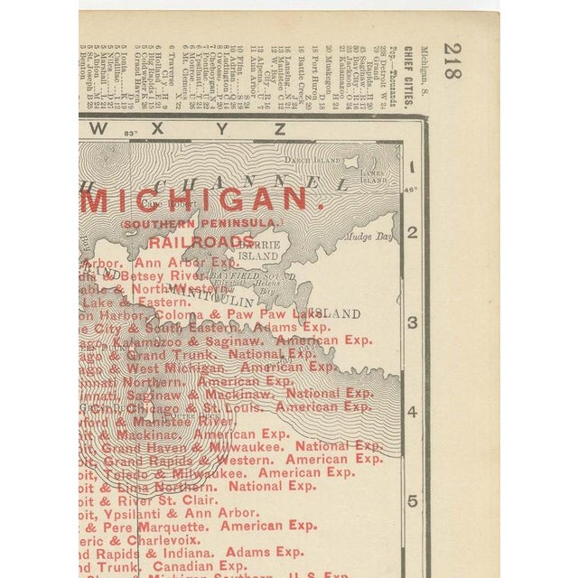
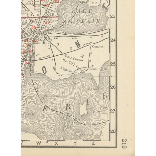
Published by Rand McNally in 1899, this antique map of Michigan covers the Lower Peninsula on a double-page sheet, pages 218 and 219 of the indexed atlas, from the Straits of Mackinac to the Ohio and Indiana borders. Lake Michigan, Lake Huron and Saginaw Bay are mapped along the state's long shorelines, and the county grid runs the full length of the peninsula. The farming counties of the south, Kalamazoo, Calhoun, Washtenaw and Oakland, are shown far more thickly settled than the still heavily timbered north around Grand Traverse Bay and the Au Sable and Manistee river country, where logging rather than farming remained the dominant land use. The fruit belt along the Lake Michigan shore, the lumber counties of the north-centre and the Detroit corridor in the southeast can all be read in the pattern of settlement. A dense railroad legend numbered in red at upper right lists over forty companies, the Ann Arbor, the Chicago and Grand Trunk, the Detroit, Grand Haven and Milwaukee, the Flint and Pere Marquette, and the Michigan Central among them, with Detroit, in the southeast corner, at the greatest concentration of lines. Lansing, the capital, and Grand Rapids, Kalamazoo and Jackson are named among the busier junctions of the south. Scale is given as 12 statute miles to the inch, and a note at upper left directs the reader to the adjoining Ontario, Indiana, Ohio and Wisconsin maps and the atlas's separate Northern Michigan sheet. Behind the sheet stands one of the great names of American map publishing. William Rand opened a printing business in Chicago in the 1850s, Andrew McNally joined him, and by the 1890s Rand McNally was one of the leading map publishers in the United States, with a reputation built on railroad and commercial maps kept current from issue to issue. In technique it is a lithograph printed in colour, with the black outline printed first and the pastel colours printed over it. Once framed, this antique map of Michigan would suit a home or office in the state today, and it will appeal to collectors of American state maps and railroad history. The sheet is in good condition for its age, with light, even age toning, minor handling wear to the sheet edges and the original central fold as issued. Please review the images for further condition details. This is an original antique map, not a modern reproduction. This item is sold unframed. Any framed or interior images are shown for presentation and inspiration only, unless the listing explicitly states that the item is sold framed. This piece is attributed to the mentioned designer/maker. It has no attribution mark and no
official proof of authenticity,
however it is well documented in design history. I take full responsibility for any authenticity
issues arising from misattribution
See less
- Dimensions
- 20.47ʺW × 27.17ʺH
- Period
- 19th Century
- Item Type
- Vintage, Antique or Pre-owned
- Materials
- Paper
- Condition
- Good Condition, Unknown, Some Imperfections
- Color
- Black
- Condition Notes
- Very Good — This vintage item has no defects, but it may show slight traces of use\. Good condition for … moreVery Good — This vintage item has no defects, but it may show slight traces of use\. Good condition for its age. Light, even age toning, minor handling wear to the sheet edges and the original central fold as issued. Please review the images for further condition details. less
Returns & Cancellations
Return Policy - All sales are final 48 hours after delivery, unless otherwise specified in the description of the product.
Cancellation Policy - Prior to shipping or local pickup, buyers may cancel an order for up to 48 hours, unless otherwise specified.